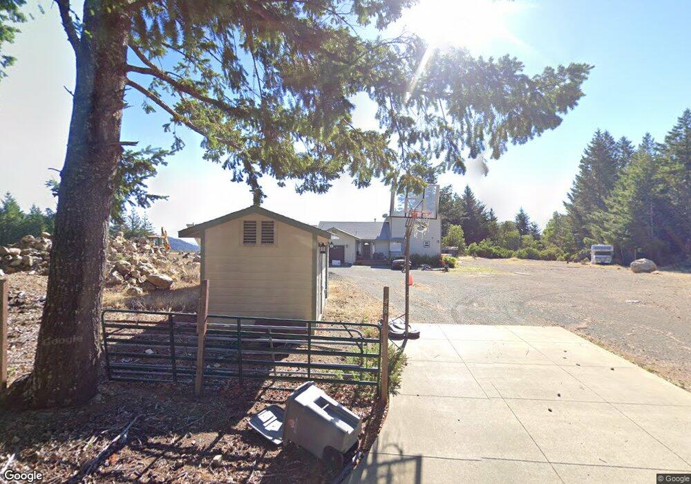
481 Toth Rd Whitethorn, CA 95589
Estimated Value: $358,332 - $465,000
Studio
--
Bath
--
Sq Ft
12,589
Sq Ft Lot
About This Home
This home is located at 481 Toth Rd, Whitethorn, CA 95589 and is currently estimated at $402,083. 481 Toth Rd is a home located in Humboldt County.
Ownership History
Date
Name
Owned For
Owner Type
Purchase Details
Closed on
Jun 21, 2018
Sold by
Fowler Family Trust
Bought by
Fowler Jonathan M
Current Estimated Value
Purchase Details
Closed on
Jun 20, 2017
Sold by
Fowler D G and Fowler Sydell
Bought by
Fowler Jonathan M
Purchase Details
Closed on
Jul 6, 2006
Sold by
Fowler George and Fowler Sydell
Bought by
Fowler D G and Fowler Sydell
Purchase Details
Closed on
Dec 7, 2001
Sold by
Bonham Rick and Bonham Sandra D
Bought by
Fowler George and Fowler Sydell
Create a Home Valuation Report for This Property
The Home Valuation Report is an in-depth analysis detailing your home's value as well as a comparison with similar homes in the area
Home Values in the Area
Average Home Value in this Area
Purchase History
| Date | Buyer | Sale Price | Title Company |
|---|---|---|---|
| Fowler Jonathan M | -- | None Listed On Document | |
| Fowler Jonathan M | -- | None Available | |
| Fowler D G | -- | None Available | |
| Fowler George | $115,000 | First American Title Co |
Source: Public Records
Tax History
| Year | Tax Paid | Tax Assessment Tax Assessment Total Assessment is a certain percentage of the fair market value that is determined by local assessors to be the total taxable value of land and additions on the property. | Land | Improvement |
|---|---|---|---|---|
| 2025 | $3,948 | $344,890 | $59,078 | $285,812 |
| 2024 | $3,948 | $338,128 | $57,920 | $280,208 |
| 2023 | $3,963 | $331,499 | $56,785 | $274,714 |
| 2022 | $3,905 | $325,000 | $55,672 | $269,328 |
| 2021 | $3,765 | $318,629 | $54,581 | $264,048 |
| 2020 | $3,786 | $315,363 | $54,022 | $261,341 |
| 2019 | $3,697 | $309,180 | $52,963 | $256,217 |
| 2018 | $3,637 | $303,119 | $51,925 | $251,194 |
| 2017 | $3,472 | $297,176 | $50,907 | $246,269 |
| 2016 | $3,452 | $291,350 | $49,909 | $241,441 |
| 2015 | $3,436 | $286,975 | $49,160 | $237,815 |
| 2014 | $2,983 | $167,181 | $48,198 | $118,983 |
Source: Public Records
Map
Nearby Homes
- 67 Atchison Ct
- 25 Seneca Ct Unit 10
- 55 Pepperwood Dr
- 34 Vance Rd
- 129 Vance Rd
- 463 Cook Rd
- 2685 Toth Rd Unit 20 Block 193
- 112 Willow Glen Rd
- 0 Willow Glen Rd
- 538 Willow Glen Rd
- 171 Cook Rd
- 1453 Toth Rd
- 127 Cook Rd
- 1199 Toth Rd
- 914 Blueridge Rd Unit 13
- 43 & 61 Wood Ct
- 36 & 56 Willow Glen Rd
- 355 Cedarwood Ct
- 65 Carson Ct
- 85 Carson Ct
Your Personal Tour Guide
Ask me questions while you tour the home.