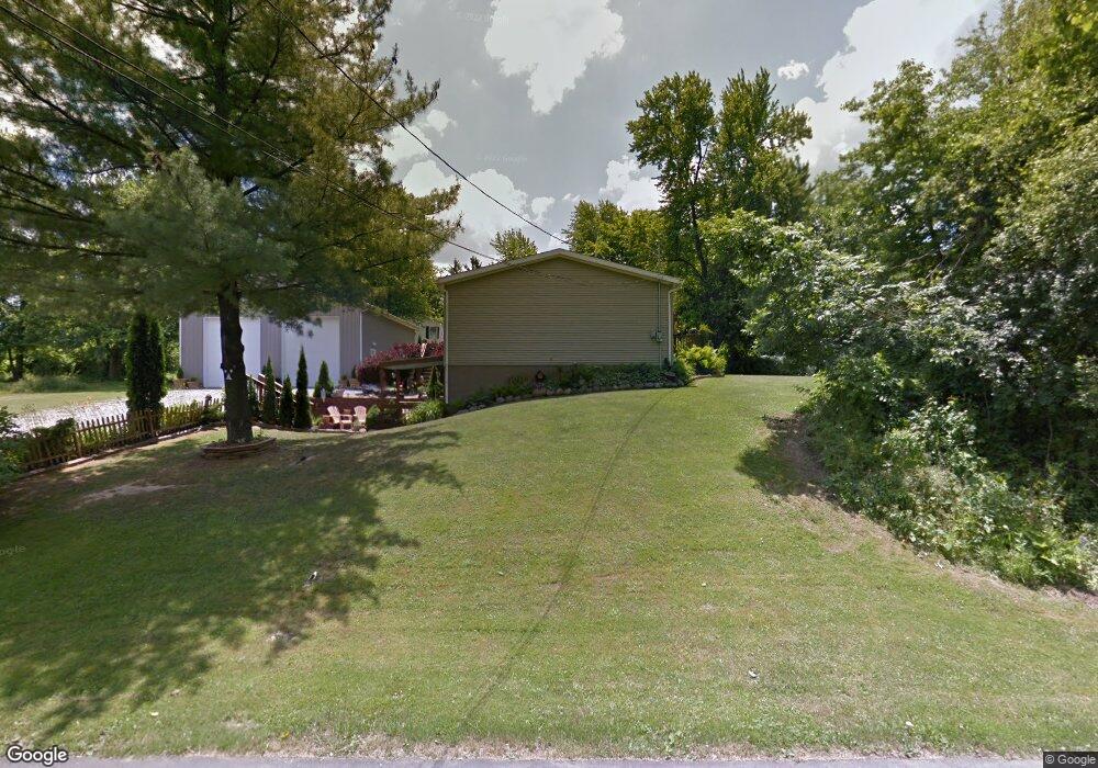
481 Warren Rd Mansfield, OH 44906
Estimated Value: $131,400 - $156,000
3
Beds
2
Baths
1,404
Sq Ft
$104/Sq Ft
Est. Value
About This Home
This home is located at 481 Warren Rd, Mansfield, OH 44906 and is currently estimated at $145,600, approximately $103 per square foot. 481 Warren Rd is a home located in Richland County with nearby schools including Foundation Academy, Mansfield Elective Academy, and Goal Digital Academy.
Ownership History
Date
Name
Owned For
Owner Type
Purchase Details
Closed on
Aug 6, 2003
Sold by
Phillips Darlene Ann
Bought by
Alfrey Bryan K and Mcnair Karen D
Current Estimated Value
Home Financials for this Owner
Home Financials are based on the most recent Mortgage that was taken out on this home.
Original Mortgage
$60,000
Outstanding Balance
$13,585
Interest Rate
5.47%
Mortgage Type
Purchase Money Mortgage
Estimated Equity
$132,015
Purchase Details
Closed on
Jun 3, 2003
Sold by
Parsons Dora N and Parsons Dora Naomi
Bought by
Alfrey Bryan K and Mcnair Karen D
Purchase Details
Closed on
Apr 1, 1985
Create a Home Valuation Report for This Property
The Home Valuation Report is an in-depth analysis detailing your home's value as well as a comparison with similar homes in the area
Home Values in the Area
Average Home Value in this Area
Purchase History
| Date | Buyer | Sale Price | Title Company |
|---|---|---|---|
| Alfrey Bryan K | -- | Chicago Title | |
| Alfrey Bryan K | -- | -- | |
| -- | $2,800 | -- |
Source: Public Records
Mortgage History
| Date | Status | Borrower | Loan Amount |
|---|---|---|---|
| Open | Alfrey Bryan K | $60,000 |
Source: Public Records
Tax History
| Year | Tax Paid | Tax Assessment Tax Assessment Total Assessment is a certain percentage of the fair market value that is determined by local assessors to be the total taxable value of land and additions on the property. | Land | Improvement |
|---|---|---|---|---|
| 2024 | $857 | $29,010 | $3,450 | $25,560 |
| 2023 | $902 | $29,010 | $3,450 | $25,560 |
| 2022 | $1,334 | $23,820 | $3,070 | $20,750 |
| 2021 | $1,343 | $23,820 | $3,070 | $20,750 |
| 2020 | $1,373 | $23,820 | $3,070 | $20,750 |
| 2019 | $1,522 | $23,820 | $3,070 | $20,750 |
| 2018 | $1,502 | $23,820 | $3,070 | $20,750 |
| 2017 | $1,461 | $23,820 | $3,070 | $20,750 |
| 2016 | $1,439 | $22,750 | $1,960 | $20,790 |
| 2015 | $1,439 | $22,750 | $1,960 | $20,790 |
| 2014 | $1,357 | $22,750 | $1,960 | $20,790 |
| 2012 | $1,316 | $23,950 | $2,060 | $21,890 |
Source: Public Records
Map
Nearby Homes
- 1077 Benedict Ave
- 1501 Bowman St
- 739 Armstrong St
- 0 Highway 30
- 1087 Fairfax Ave
- 878 Fairfax Ave
- 933 Fairfax Ave
- 1101 Lenox Ave
- 572 France St
- 641 Averill Ave
- 1005 Truxell Dr
- 728 N Trimble Rd
- 701 Springmill St
- 492 Stark St
- 0 State Route 314 Unit 9069650
- 0 State Route 314 Unit 9067316
- 0 State Route 314 Unit 225021979
- 688 Mcpherson St
- 118 Raymond Ave
- 480 Mcpherson St
Your Personal Tour Guide
Ask me questions while you tour the home.