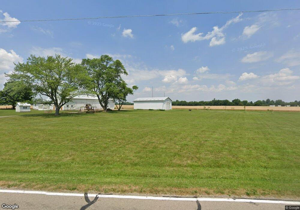
481 Western Ave Lewisburg, OH 45338
Estimated Value: $232,000 - $280,000
3
Beds
2
Baths
1,724
Sq Ft
$143/Sq Ft
Est. Value
About This Home
This home is located at 481 Western Ave, Lewisburg, OH 45338 and is currently estimated at $246,230, approximately $142 per square foot. 481 Western Ave is a home with nearby schools including Tri-County North Elementary School, Tri-County North Middle School, and Tri-County North High School.
Ownership History
Date
Name
Owned For
Owner Type
Purchase Details
Closed on
Aug 29, 2022
Sold by
Ewing Richard E and Ewing Jutta G
Bought by
Ewing Adam B and Ewing Cassandra L
Current Estimated Value
Home Financials for this Owner
Home Financials are based on the most recent Mortgage that was taken out on this home.
Original Mortgage
$140,000
Outstanding Balance
$132,908
Interest Rate
4.5%
Mortgage Type
New Conventional
Estimated Equity
$113,322
Purchase Details
Closed on
May 16, 2018
Sold by
Ewing Richard E and Ewing Jutta G
Bought by
Earley Dirk E
Create a Home Valuation Report for This Property
The Home Valuation Report is an in-depth analysis detailing your home's value as well as a comparison with similar homes in the area
Home Values in the Area
Average Home Value in this Area
Purchase History
| Date | Buyer | Sale Price | Title Company |
|---|---|---|---|
| Ewing Adam B | $166 | Hallmark Title | |
| Ewing Adam B | $166 | Hallmark Title | |
| Earley Dirk E | -- | None Available |
Source: Public Records
Mortgage History
| Date | Status | Borrower | Loan Amount |
|---|---|---|---|
| Open | Ewing Adam B | $140,000 | |
| Closed | Ewing Adam B | $140,000 |
Source: Public Records
Tax History Compared to Growth
Tax History
| Year | Tax Paid | Tax Assessment Tax Assessment Total Assessment is a certain percentage of the fair market value that is determined by local assessors to be the total taxable value of land and additions on the property. | Land | Improvement |
|---|---|---|---|---|
| 2024 | $2,859 | $64,020 | $16,800 | $47,220 |
| 2023 | $2,859 | $64,020 | $16,800 | $47,220 |
| 2022 | $2,787 | $54,010 | $16,170 | $37,840 |
| 2021 | $2,952 | $54,010 | $16,170 | $37,840 |
| 2020 | $2,901 | $54,010 | $16,170 | $37,840 |
| 2019 | $2,261 | $40,080 | $13,830 | $26,250 |
| 2018 | $2,194 | $40,080 | $13,830 | $26,250 |
| 2017 | $2,275 | $46,170 | $19,920 | $26,250 |
Source: Public Records
Map
Nearby Homes
- 127 S Main St
- 216 Ackton St
- 211 Horn St
- 300 Ackton St
- 316 N Commerce St
- 320 N Commerce St
- 101 Northcreek Dr
- 303 W Cumberland St
- 3608 E 40 Us
- 7337 E Lock Rd
- 5101 Pundt Rd
- 2892 Swishers Mill Rd
- 2294 U S 40
- 5380 Shields Rd
- 9923 Euphemia Castine Rd
- 6051 Sonora Rd
- 9517 Verona Rd
- 8300 Pyrmont Rd
- 3191 Minnich Wysong Rd
- 8486 Us Route 127
- 4801 Lewisburg Western Rd
- 228 Western Ave
- 218 Western Ave
- 1985 Lewisburg Western Rd
- 4674 W Clay St
- 250 E Clay St
- 133 Western Ave
- 133 Western Ave
- 129 Western Ave
- 4618 Lewisburg Western Rd
- 307 Market St
- 307 Market St
- 95 Hapner St
- 121 Western Ave
- 219 Hapner St
- 303 Market St
- 0 E Twin St
- 302 Market St
- 115 Western Ave
- 114 Western Ave
