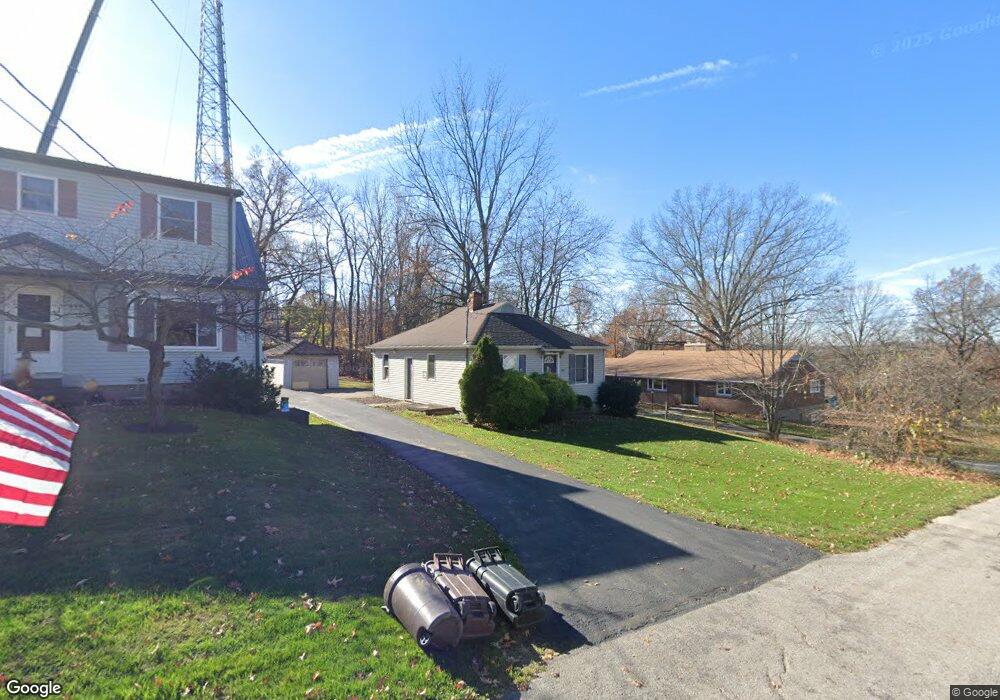
481 Westview Dr Wooster, OH 44691
Estimated Value: $115,000 - $179,000
2
Beds
1
Bath
832
Sq Ft
$171/Sq Ft
Est. Value
About This Home
This home is located at 481 Westview Dr, Wooster, OH 44691 and is currently estimated at $142,373, approximately $171 per square foot. 481 Westview Dr is a home located in Wayne County with nearby schools including Triway High School, St. Mary of Immaculate Conception School, and Montessori School of Wooster.
Ownership History
Date
Name
Owned For
Owner Type
Purchase Details
Closed on
Jun 30, 1999
Sold by
Wheaton Marilyn J
Bought by
Berg Scott D and Berg Susanna J
Current Estimated Value
Home Financials for this Owner
Home Financials are based on the most recent Mortgage that was taken out on this home.
Original Mortgage
$57,866
Outstanding Balance
$15,863
Interest Rate
7.29%
Mortgage Type
FHA
Estimated Equity
$126,510
Create a Home Valuation Report for This Property
The Home Valuation Report is an in-depth analysis detailing your home's value as well as a comparison with similar homes in the area
Home Values in the Area
Average Home Value in this Area
Purchase History
| Date | Buyer | Sale Price | Title Company |
|---|---|---|---|
| Berg Scott D | $60,000 | -- |
Source: Public Records
Mortgage History
| Date | Status | Borrower | Loan Amount |
|---|---|---|---|
| Open | Berg Scott D | $57,866 |
Source: Public Records
Tax History Compared to Growth
Tax History
| Year | Tax Paid | Tax Assessment Tax Assessment Total Assessment is a certain percentage of the fair market value that is determined by local assessors to be the total taxable value of land and additions on the property. | Land | Improvement |
|---|---|---|---|---|
| 2024 | $1,486 | $39,720 | $9,160 | $30,560 |
| 2023 | $1,486 | $39,720 | $9,160 | $30,560 |
| 2022 | $1,262 | $30,320 | $6,990 | $23,330 |
| 2021 | $1,181 | $30,320 | $6,990 | $23,330 |
| 2020 | $1,195 | $30,320 | $6,990 | $23,330 |
| 2019 | $1,123 | $27,440 | $6,110 | $21,330 |
| 2018 | $1,143 | $27,440 | $6,110 | $21,330 |
| 2017 | $1,138 | $27,440 | $6,110 | $21,330 |
| 2016 | $1,108 | $26,390 | $5,880 | $20,510 |
| 2015 | $1,083 | $26,390 | $5,880 | $20,510 |
| 2014 | $1,084 | $26,390 | $5,880 | $20,510 |
| 2013 | $1,128 | $26,330 | $5,590 | $20,740 |
Source: Public Records
Map
Nearby Homes
- 2754 Millersburg Rd
- 1174 Columbus Rd
- 211 Minerva St
- 1296 Gallo Dr
- 2530 Tuckahoe Rd
- 1740 Barnes Dr
- 202 Palmer St
- 229 N Walnut St
- 349 W North St
- 227 N Walnut St
- 638 High St
- 323 N Grant St
- 406 N Walnut St
- 554 Nold Ave
- 423 N Market St
- 412 Emerick St
- 450 N Grant St
- 534 N Buckeye St
- 1970 Batdorf Rd
- 429 Woodland Ave
- 495 Westview Dr
- 511 Westview Dr
- 201 Westview Dr
- 478 Westview Dr
- 460 Westview Dr
- 460 Westview Dr
- 528 Westview Dr
- 528 Westview Dr
- 1455 Madison Ave
- 1487 Madison Hill
- 1441 Madison Ave
- 1475 Madison Ave
- 1535 Madison Ave
- 1487 Madison Ave
- 1433 Madison Ave
- 1395 Madison Ave
- 1419 Madison Ave
- 1419 Madison Ave
- 1501 Madison Ave
- 1381 Madison Ave