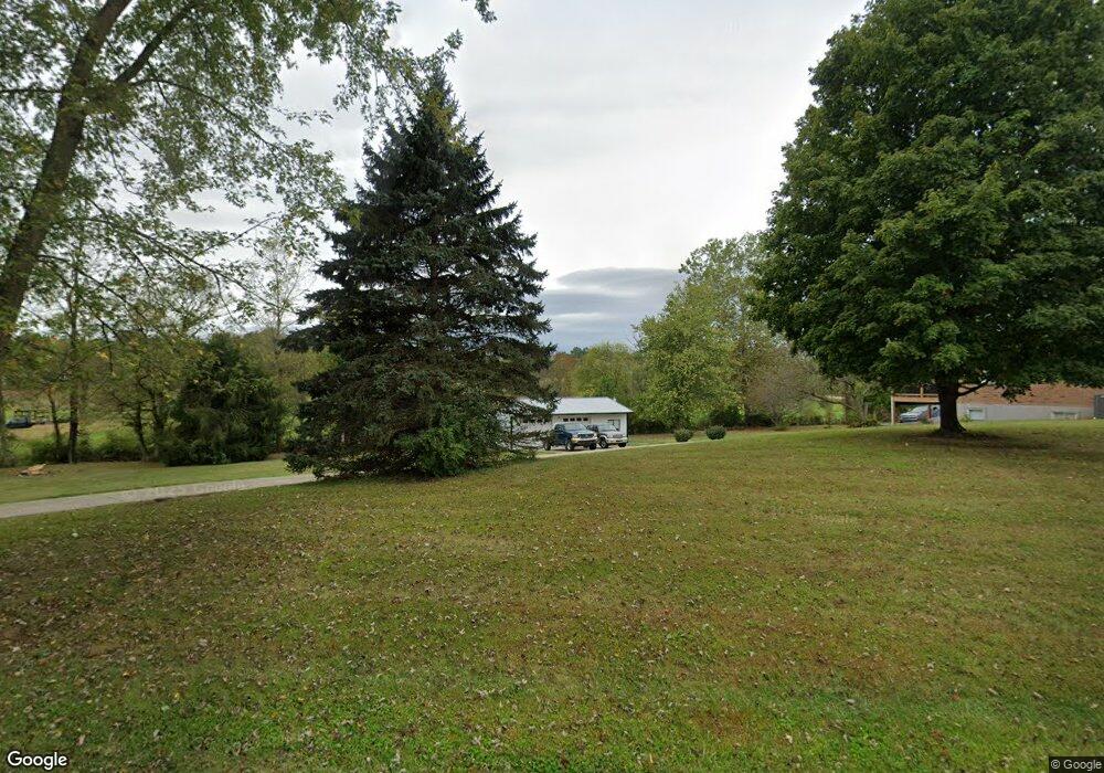
4810 Bardwell Buford Rd Mount Orab, OH 45154
Estimated Value: $269,000 - $343,000
2
Beds
2
Baths
1,733
Sq Ft
$170/Sq Ft
Est. Value
About This Home
This home is located at 4810 Bardwell Buford Rd, Mount Orab, OH 45154 and is currently estimated at $295,156, approximately $170 per square foot. 4810 Bardwell Buford Rd is a home located in Brown County with nearby schools including Western Brown High School.
Ownership History
Date
Name
Owned For
Owner Type
Purchase Details
Closed on
Jul 29, 2015
Sold by
Applegate Darrell Eugene and Applegate Connie
Bought by
Fry Jami R
Current Estimated Value
Home Financials for this Owner
Home Financials are based on the most recent Mortgage that was taken out on this home.
Original Mortgage
$104,800
Outstanding Balance
$82,564
Interest Rate
4.08%
Mortgage Type
New Conventional
Estimated Equity
$212,592
Create a Home Valuation Report for This Property
The Home Valuation Report is an in-depth analysis detailing your home's value as well as a comparison with similar homes in the area
Home Values in the Area
Average Home Value in this Area
Purchase History
| Date | Buyer | Sale Price | Title Company |
|---|---|---|---|
| Fry Jami R | $174,666 | Stewart Title Co |
Source: Public Records
Mortgage History
| Date | Status | Borrower | Loan Amount |
|---|---|---|---|
| Open | Fry Jami R | $104,800 |
Source: Public Records
Tax History Compared to Growth
Tax History
| Year | Tax Paid | Tax Assessment Tax Assessment Total Assessment is a certain percentage of the fair market value that is determined by local assessors to be the total taxable value of land and additions on the property. | Land | Improvement |
|---|---|---|---|---|
| 2024 | $2,209 | $76,940 | $13,720 | $63,220 |
| 2023 | $2,209 | $56,840 | $9,440 | $47,400 |
| 2022 | $1,745 | $56,840 | $9,440 | $47,400 |
| 2021 | $1,720 | $56,840 | $9,440 | $47,400 |
| 2020 | $1,544 | $49,430 | $8,210 | $41,220 |
| 2019 | $1,658 | $49,430 | $8,210 | $41,220 |
| 2018 | $1,645 | $49,430 | $8,210 | $41,220 |
| 2017 | $1,491 | $44,600 | $7,880 | $36,720 |
| 2016 | $1,492 | $44,600 | $7,880 | $36,720 |
| 2015 | $1,176 | $44,600 | $7,880 | $36,720 |
| 2014 | $1,176 | $43,880 | $7,160 | $36,720 |
| 2013 | $1,173 | $43,880 | $7,160 | $36,720 |
Source: Public Records
Map
Nearby Homes
- 3517 Bardwell Buford Rd
- 0 Lindsey Rd Unit 1819033
- 203 Bingaman Ln
- 103 Lonny St
- 106 Lonny St
- 108 Lonny St
- Fairton Plan at Glover Meadows
- Chatham Plan at Glover Meadows
- Bellamy Plan at Glover Meadows
- Taylor Plan at Glover Meadows
- Harmony Plan at Glover Meadows
- Aldridge Plan at Glover Meadows
- 150 Lonny St
- 127 Lonny St
- 204 Katelin Ln
- 214 Gregory St
- 14663 Day Rd
- 210 Gregory St
- 206 Gregory St
- 208 Gregory St
- 14517 Klein Rd
- 4762 Bardwell Buford Rd
- 14493 Klein Rd
- 14459 Klein Rd
- 4747 Bardwell Buford Rd
- 4746 Bardwell Buford Rd
- 14444 Klein Rd
- 4966 Bardwell Buford Rd
- 4700 Bardwell Buford Rd
- 14400 Klein Rd
- 4674 Bardwell Buford Rd
- 4654 Bardwell Buford Rd
- 4641 Bardwell Buford Rd
- 1129 Sicily Rd
- 51.490ac Klein Rd
- 41 Klein Rd
- 11 Klein Rd
- 14372 Klein Rd
- 1035 Sicily Rd
- 1035 Sicily Rd