4810 Highway 151 La Fayette, GA 30728
Estimated Value: $370,000 - $850,962
--
Bed
2
Baths
2,509
Sq Ft
$243/Sq Ft
Est. Value
About This Home
This home is located at 4810 Highway 151, La Fayette, GA 30728 and is currently estimated at $610,481, approximately $243 per square foot. 4810 Highway 151 is a home located in Walker County with nearby schools including Naomi Elementary School, Lafayette Middle School, and Lafayette High School.
Ownership History
Date
Name
Owned For
Owner Type
Purchase Details
Closed on
Feb 2, 2005
Sold by
Ramsey Robert G
Bought by
Rosen Tabitha S and Rosen Wanda S
Current Estimated Value
Purchase Details
Closed on
Aug 30, 1994
Sold by
Wilbanks James Emmett and Wilbanks Daisy
Bought by
Copeland Gregory E and Copeland Judith
Purchase Details
Closed on
Jan 1, 1972
Bought by
Wilbanks James Emmett and Wilbanks Daisy
Create a Home Valuation Report for This Property
The Home Valuation Report is an in-depth analysis detailing your home's value as well as a comparison with similar homes in the area
Home Values in the Area
Average Home Value in this Area
Purchase History
| Date | Buyer | Sale Price | Title Company |
|---|---|---|---|
| Rosen Tabitha S | $20,417 | -- | |
| Copeland Gregory E | $105,000 | -- | |
| Wilbanks James Emmett | -- | -- |
Source: Public Records
Tax History Compared to Growth
Tax History
| Year | Tax Paid | Tax Assessment Tax Assessment Total Assessment is a certain percentage of the fair market value that is determined by local assessors to be the total taxable value of land and additions on the property. | Land | Improvement |
|---|---|---|---|---|
| 2024 | $6,723 | $315,720 | $185,140 | $130,580 |
| 2023 | $5,995 | $274,420 | $146,936 | $127,484 |
| 2022 | $4,221 | $172,883 | $61,979 | $110,904 |
| 2021 | $4,168 | $154,323 | $61,979 | $92,344 |
| 2020 | $3,901 | $138,736 | $61,979 | $76,757 |
| 2019 | $3,804 | $134,309 | $61,979 | $72,330 |
| 2018 | $3,463 | $130,888 | $58,558 | $72,330 |
| 2017 | $4,280 | $131,357 | $58,558 | $72,799 |
| 2016 | $3,500 | $137,737 | $65,062 | $72,675 |
| 2015 | $3,667 | $135,816 | $58,872 | $76,944 |
| 2014 | $3,492 | $135,816 | $58,872 | $76,944 |
| 2013 | -- | $135,816 | $58,872 | $76,944 |
Source: Public Records
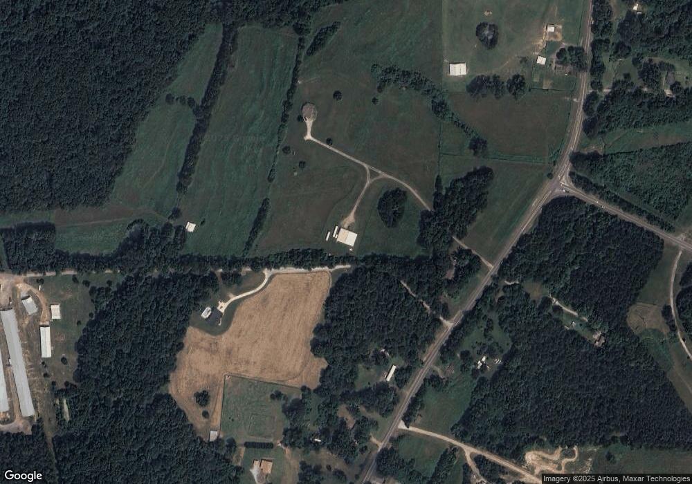
Map
Nearby Homes
- 901 Dunwoody Rd
- 1039 Dunwoody Rd
- 176 Turkey Ridge Rd
- 0 Windy Meadow Dr Unit 10534698
- 635 Cook Rd
- 253 Wesley Rd
- 0 Jack Dr
- 139 Harris Ln
- 7606 Highway 95
- 1121 York Rd
- 1934 Round Pond Rd
- 34 + - Acre On Ga Hwy 337
- 450 Arnold Ln
- 34 Kemp Rd
- 9724 Georgia 136
- 121 Stock Dog Ln
- E Armuchee Rd
- 0 Highway 27 S Unit 10520993
- 0 Highway 27 S Unit 1512699
- 0 Cherokee Knoll Unit 1511608
- 4604 Highway 151
- 4604 Hwy 151
- 4820 Highway 151
- 2030 Dunwoody Rd
- 4946 Highway 151
- 4984 Highway 151
- 4957 Highway 151
- 4957 Hwy 151
- 4873 Highway 151
- 4523 Georgia 151
- 4430 Highway 151
- 5044 Highway 151
- 4625 Highway 151
- 4817 Highway 151
- 5011 Highway 151
- 5011 Georgia 151
- 1994 Dunwoody Rd
- 0 Thornton Rd Unit 1051948
- 0 Thornton Rd Unit 1100454
- 0 Thornton Rd Unit 1122191