Estimated Value: $230,000 - $257,000
--
Bed
1
Bath
1,497
Sq Ft
$164/Sq Ft
Est. Value
About This Home
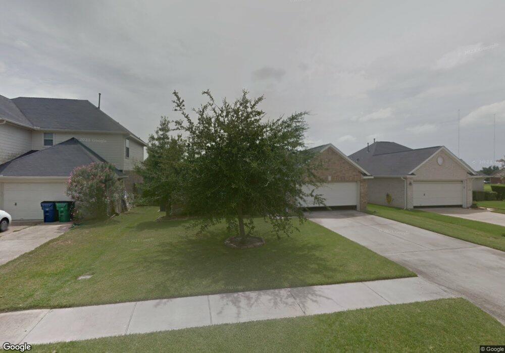
This home is located at 4810 Kentington Dr, Alvin, TX 77511 and is currently estimated at $245,073, approximately $163 per square foot. 4810 Kentington Dr is a home located in Brazoria County with nearby schools including R.L. Stevenson Primary School, Alvin Junior High School, and Alvin High School.
Ownership History
Date
Name
Owned For
Owner Type
Purchase Details
Closed on
Apr 14, 2006
Sold by
Manchester Homes Inc
Bought by
Ramos Ernesto C
Current Estimated Value
Home Financials for this Owner
Home Financials are based on the most recent Mortgage that was taken out on this home.
Original Mortgage
$103,920
Interest Rate
6.32%
Mortgage Type
Fannie Mae Freddie Mac
Create a Home Valuation Report for This Property
The Home Valuation Report is an in-depth analysis detailing your home's value as well as a comparison with similar homes in the area
Home Values in the Area
Average Home Value in this Area
Purchase History
| Date | Buyer | Sale Price | Title Company |
|---|---|---|---|
| Ramos Ernesto C | -- | Alamo Title |
Source: Public Records
Mortgage History
| Date | Status | Borrower | Loan Amount |
|---|---|---|---|
| Previous Owner | Ramos Ernesto C | $103,920 |
Source: Public Records
Tax History Compared to Growth
Tax History
| Year | Tax Paid | Tax Assessment Tax Assessment Total Assessment is a certain percentage of the fair market value that is determined by local assessors to be the total taxable value of land and additions on the property. | Land | Improvement |
|---|---|---|---|---|
| 2025 | $1,305 | $228,371 | $17,020 | $213,240 |
| 2023 | $1,305 | $188,736 | $17,020 | $230,270 |
| 2022 | $4,706 | $171,578 | $16,340 | $167,740 |
| 2021 | $4,503 | $155,980 | $16,340 | $139,640 |
| 2020 | $4,565 | $155,980 | $16,340 | $139,640 |
| 2019 | $4,567 | $152,040 | $13,610 | $138,430 |
| 2018 | $4,434 | $152,040 | $13,610 | $138,430 |
| 2017 | $4,082 | $133,960 | $13,610 | $120,350 |
| 2016 | $4,082 | $133,960 | $13,610 | $120,350 |
| 2015 | $2,064 | $126,780 | $13,610 | $113,170 |
| 2014 | $2,064 | $130,760 | $13,610 | $117,150 |
Source: Public Records
Map
Nearby Homes
- 394 Sherandoe Ln
- 4800 Heathrow Ln
- 4850 Heathrow Ln
- 607 Debbie Ln
- 00 Highway 6
- 1751 Rosharon Rd
- 0 W Highway 6 Unit 68293296
- 610 Linda Ln
- 3925 Larkspur St
- 00 County Road 424
- 3810 Westglen Dr
- 300 Mustang Rd
- 3221 County Road 890
- 4113 County Road 424
- 2108 County Road 740
- 1027 Paddlefish
- 3600 177
- 1025 Paddlefish
- 1814 Rymal Ranch Rd
- 1145 Westglen Dr
- 4812 Kentington Dr
- 4808 Kentington Dr
- 405 Sherandoe Ln
- 4814 Kentington Dr
- 415 Sherandoe Ln
- 4790 Sulley Dr
- 4816 Kentington Dr
- 4780 Sulley Dr
- 5424 Morgan Oak Dr
- 402 Sherandoe Ln
- 400 Sherandoe Ln
- 425 Sherandoe Ln
- 4818 Kentington Dr
- 5422 Morgan Oak Dr
- 395 Sherandoe Ln
- 4800 Sulley Dr
- 396 Sherandoe Ln
- 4785 Sulley Dr
- 5420 Morgan Oak Dr
- 435 Sherandoe Ln