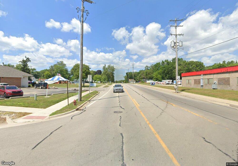
4810 N M 37 Hwy Middleville, MI 49333
Estimated Value: $266,000 - $304,000
3
Beds
2
Baths
1,200
Sq Ft
$242/Sq Ft
Est. Value
About This Home
This home is located at 4810 N M 37 Hwy, Middleville, MI 49333 and is currently estimated at $289,855, approximately $241 per square foot. 4810 N M 37 Hwy is a home located in Barry County with nearby schools including McFall Elementary School, Lee Elementary School, and Page Elementary School.
Ownership History
Date
Name
Owned For
Owner Type
Purchase Details
Closed on
Mar 16, 2022
Sold by
Lester Miller Jeremy and Lester Amanda
Bought by
Paggeot Nathan and Lara Lauren
Current Estimated Value
Home Financials for this Owner
Home Financials are based on the most recent Mortgage that was taken out on this home.
Original Mortgage
$195,940
Outstanding Balance
$182,926
Interest Rate
3.85%
Mortgage Type
New Conventional
Estimated Equity
$106,929
Purchase Details
Closed on
Jan 17, 1997
Bought by
Miller Jeremy and Miller Amanda
Create a Home Valuation Report for This Property
The Home Valuation Report is an in-depth analysis detailing your home's value as well as a comparison with similar homes in the area
Home Values in the Area
Average Home Value in this Area
Purchase History
| Date | Buyer | Sale Price | Title Company |
|---|---|---|---|
| Paggeot Nathan | $205,000 | None Listed On Document | |
| Miller Jeremy | $104,000 | -- |
Source: Public Records
Mortgage History
| Date | Status | Borrower | Loan Amount |
|---|---|---|---|
| Open | Paggeot Nathan | $195,940 |
Source: Public Records
Tax History Compared to Growth
Tax History
| Year | Tax Paid | Tax Assessment Tax Assessment Total Assessment is a certain percentage of the fair market value that is determined by local assessors to be the total taxable value of land and additions on the property. | Land | Improvement |
|---|---|---|---|---|
| 2025 | $3,455 | $115,400 | $0 | $0 |
| 2024 | $3,455 | $105,300 | $0 | $0 |
| 2023 | $1,820 | $68,900 | $0 | $0 |
| 2022 | $701 | $68,900 | $0 | $0 |
| 2021 | $1,820 | $65,000 | $0 | $0 |
| 2020 | $1,790 | $61,500 | $0 | $0 |
| 2019 | $1,790 | $59,600 | $0 | $0 |
| 2018 | $1,729 | $57,000 | $15,500 | $41,500 |
| 2017 | $1,729 | $57,000 | $0 | $0 |
| 2016 | -- | $53,500 | $0 | $0 |
| 2015 | -- | $48,800 | $0 | $0 |
| 2014 | -- | $48,800 | $0 | $0 |
Source: Public Records
Map
Nearby Homes
- 1079 Arlington St
- Wilshire Plan at Seneca Ridge
- Remington Plan at Seneca Ridge
- Linden Plan at Seneca Ridge
- Enclave Plan at Seneca Ridge
- Croswell Plan at Seneca Ridge
- Cascade Plan at Seneca Ridge
- Carson Plan at Seneca Ridge
- Avery Plan at Seneca Ridge
- Ashton Plan at Seneca Ridge
- Andover Plan at Seneca Ridge
- 313 Seneca Ridge Dr Unit 45
- 343 Seneca Ridge Dr Unit 40
- 319 Seneca Ridge Dr Unit 44
- 886 Oak Wind Ct
- 414 Thornton St
- 451 Oak View Dr
- 3207 Michigan 37
- 379 Minstehr Dr
- 5325 Stimson Rd
- 9560 Spring Creek Ct
- 0 Spring Creek Ct
- 9301 Finkbeiner Rd
- 1083 Arlington St
- 1083 Arlington St
- Parcel 1 Arlington St
- 4835 N M 37 Hwy
- 9445 Spring Creek Ct
- 1091 Arlington St
- 1091 Arlington St
- 9325 Finkbeiner Rd
- 1099 Arlington St
- 9465 Spring Creek Ct
- 1075 Arlington St
- 1067 Arlington Ct
- 822 Midvilla Ln
- 9410 Finkbeiner Rd
- 4975 Michigan 37
- 939 View Pointe Dr
- 974 View Pointe Dr
