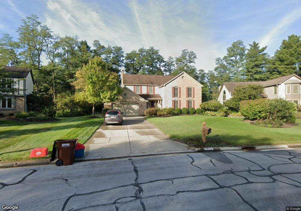
4810 Saint Andrews Cir Westerville, OH 43082
Genoa NeighborhoodEstimated Value: $691,178 - $743,000
4
Beds
3
Baths
3,759
Sq Ft
$193/Sq Ft
Est. Value
About This Home
This home is located at 4810 Saint Andrews Cir, Westerville, OH 43082 and is currently estimated at $724,045, approximately $192 per square foot. 4810 Saint Andrews Cir is a home located in Delaware County with nearby schools including Fouse Elementary School, Genoa Middle School, and Westerville Central High School.
Ownership History
Date
Name
Owned For
Owner Type
Purchase Details
Closed on
Nov 26, 2002
Sold by
Mccune Harry D
Bought by
Didomenico Kevin M and Didomenico Maureen A
Current Estimated Value
Home Financials for this Owner
Home Financials are based on the most recent Mortgage that was taken out on this home.
Original Mortgage
$294,950
Outstanding Balance
$125,236
Interest Rate
6.08%
Mortgage Type
New Conventional
Estimated Equity
$598,809
Create a Home Valuation Report for This Property
The Home Valuation Report is an in-depth analysis detailing your home's value as well as a comparison with similar homes in the area
Home Values in the Area
Average Home Value in this Area
Purchase History
| Date | Buyer | Sale Price | Title Company |
|---|---|---|---|
| Didomenico Kevin M | $347,000 | -- |
Source: Public Records
Mortgage History
| Date | Status | Borrower | Loan Amount |
|---|---|---|---|
| Open | Didomenico Kevin M | $294,950 |
Source: Public Records
Tax History Compared to Growth
Tax History
| Year | Tax Paid | Tax Assessment Tax Assessment Total Assessment is a certain percentage of the fair market value that is determined by local assessors to be the total taxable value of land and additions on the property. | Land | Improvement |
|---|---|---|---|---|
| 2024 | $10,150 | $196,220 | $37,350 | $158,870 |
| 2023 | $9,950 | $196,220 | $37,350 | $158,870 |
| 2022 | $9,120 | $138,430 | $23,100 | $115,330 |
| 2021 | $9,211 | $138,430 | $23,100 | $115,330 |
| 2020 | $9,267 | $138,430 | $23,100 | $115,330 |
| 2019 | $8,920 | $127,930 | $23,100 | $104,830 |
| 2018 | $8,790 | $130,030 | $23,100 | $106,930 |
| 2017 | $8,667 | $120,970 | $20,340 | $100,630 |
| 2016 | $8,794 | $120,970 | $20,340 | $100,630 |
| 2015 | $8,724 | $120,970 | $20,340 | $100,630 |
| 2014 | $8,618 | $120,970 | $20,340 | $100,630 |
| 2013 | $8,290 | $117,080 | $20,340 | $96,740 |
Source: Public Records
Map
Nearby Homes
- 7513 Africa Rd
- 377 Westgreen Ln Unit 377
- 7373 Frasier Rd
- 5515 Stillwater Ave
- 5444 Quail Hollow Way
- 5552 Quail Hollow Way
- 7697 Bale Kenyon Rd
- 5259 Sorrento Ct
- 5633 Travis Pointe Ct
- 6954 Lakeside Ct
- 4960 Hawthorne Valley Dr
- 705 N State St Unit 211
- 6573 Kenwood Place
- 49 Village Green Dr
- 543 N State St
- 5532 Meadowood Ln
- 449 Buckstone Place
- 160 Moss Rd
- 6319 Heritage Place
- 3737 Birkland Cir
- 4816 Saint Andrews Cir
- 4806 Saint Andrews Cir
- 4822 Saint Andrews Cir
- 4807 Saint Andrews Cir
- 4819 Saint Andrews Cir
- 4834 Saint Andrews Cir
- 4840 Saint Andrews Dr
- 4800 Saint Andrews Dr
- 4845 Saint Andrews Cir
- 7566 Augusta Woods Terrace
- 4782 Saint Andrews Cir
- 4868 Saint Andrews Dr
- 4760 Saint Andrews Dr
- 4681 Saint Andrews Cir
- 4856 Saint Andrews Cir
- 4736 Saint Andrews Dr
- 4877 Saint Andrews Cir
- 4714 Saint Andrews Dr
- 4882 Saint Andrews Dr
- 7560 Augusta Woods Terrace