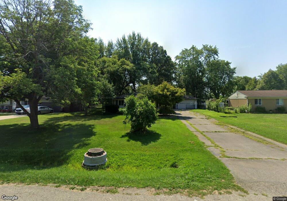
48106 Pheasant St Chesterfield, MI 48047
Estimated Value: $218,675 - $329,000
Studio
1
Bath
1,214
Sq Ft
$224/Sq Ft
Est. Value
About This Home
This home is located at 48106 Pheasant St, Chesterfield, MI 48047 and is currently estimated at $272,419, approximately $224 per square foot. 48106 Pheasant St is a home located in Macomb County with nearby schools including Dean A. Naldrett School, Anchor Bay Middle School South, and Anchor Bay High School.
Ownership History
Date
Name
Owned For
Owner Type
Purchase Details
Closed on
May 20, 2022
Sold by
Szymanski Kenneth M
Bought by
Szymanski Kenneth
Current Estimated Value
Home Financials for this Owner
Home Financials are based on the most recent Mortgage that was taken out on this home.
Original Mortgage
$171,830
Outstanding Balance
$163,235
Interest Rate
5.25%
Mortgage Type
FHA
Estimated Equity
$109,184
Purchase Details
Closed on
Mar 27, 2002
Sold by
Esper David G
Bought by
Szymanski Kenneth M
Create a Home Valuation Report for This Property
The Home Valuation Report is an in-depth analysis detailing your home's value as well as a comparison with similar homes in the area
Home Values in the Area
Average Home Value in this Area
Purchase History
| Date | Buyer | Sale Price | Title Company |
|---|---|---|---|
| Szymanski Kenneth | $175,000 | Amrock Llc | |
| Szymanski Kenneth M | $166,000 | -- |
Source: Public Records
Mortgage History
| Date | Status | Borrower | Loan Amount |
|---|---|---|---|
| Open | Szymanski Kenneth | $171,830 |
Source: Public Records
Tax History
| Year | Tax Paid | Tax Assessment Tax Assessment Total Assessment is a certain percentage of the fair market value that is determined by local assessors to be the total taxable value of land and additions on the property. | Land | Improvement |
|---|---|---|---|---|
| 2025 | $1,571 | $122,900 | $0 | $0 |
| 2024 | $15 | $116,500 | $0 | $0 |
| 2023 | $1,449 | $99,600 | $0 | $0 |
| 2022 | $2,402 | $92,600 | $0 | $0 |
| 2021 | $2,306 | $89,200 | $0 | $0 |
| 2020 | $1,315 | $83,800 | $0 | $0 |
| 2019 | $2,134 | $80,200 | $0 | $0 |
| 2018 | $2,092 | $77,600 | $16,200 | $61,400 |
| 2017 | $2,048 | $72,050 | $16,150 | $55,900 |
| 2016 | $2,044 | $72,050 | $0 | $0 |
| 2015 | $950 | $63,900 | $0 | $0 |
| 2014 | $950 | $61,650 | $13,650 | $48,000 |
| 2012 | -- | $0 | $0 | $0 |
Source: Public Records
Map
Nearby Homes
- 48118 Forbes St
- 47900 Jefferson Ave
- 47816 Jefferson Ave
- 29697 Red Fox Ln
- 29700 Red Fox Ln
- 48526 Jefferson Ave
- 47630 Lorie Ln Unit 9
- 29167 Rachid Ln
- 48556 Harbor Dr
- 00 N Cotton Rd
- 50625 Jim Dr
- 29011 Cotton Rd
- 50662 Bower Dr
- 50673 Jim Dr
- 50674 Bower Dr
- 28683 Rose Way
- 47534 Iris Dr
- 28737 Sheffield Ct Unit 20
- 28715 Portsmouth Ct Unit 32
- 48323 Whittington Dr
- 48096 Pheasant St
- 48118 Pheasant St
- 48084 Pheasant St
- 48132 Pheasant St
- 48070 Pheasant St
- 48146 Pheasant St Unit visit williamsauctio
- 48146 Pheasant St
- 48146 Pheasant St Unit visit williamsaucti
- 48103 Pheasant St
- 48111 Pheasant St
- 48083 Pheasant St
- 48093 Pheasant St
- 48056 Pheasant St
- 48121 Pheasant St
- 48160 Pheasant St
- 48091 Book Ct
- 48131 Pheasant St
- 48101 Book Ct
- 48081 Book Ct
- 48046 Pheasant St
Your Personal Tour Guide
Ask me questions while you tour the home.