Estimated Value: $272,423 - $387,000
--
Bed
2
Baths
1,708
Sq Ft
$200/Sq Ft
Est. Value
About This Home
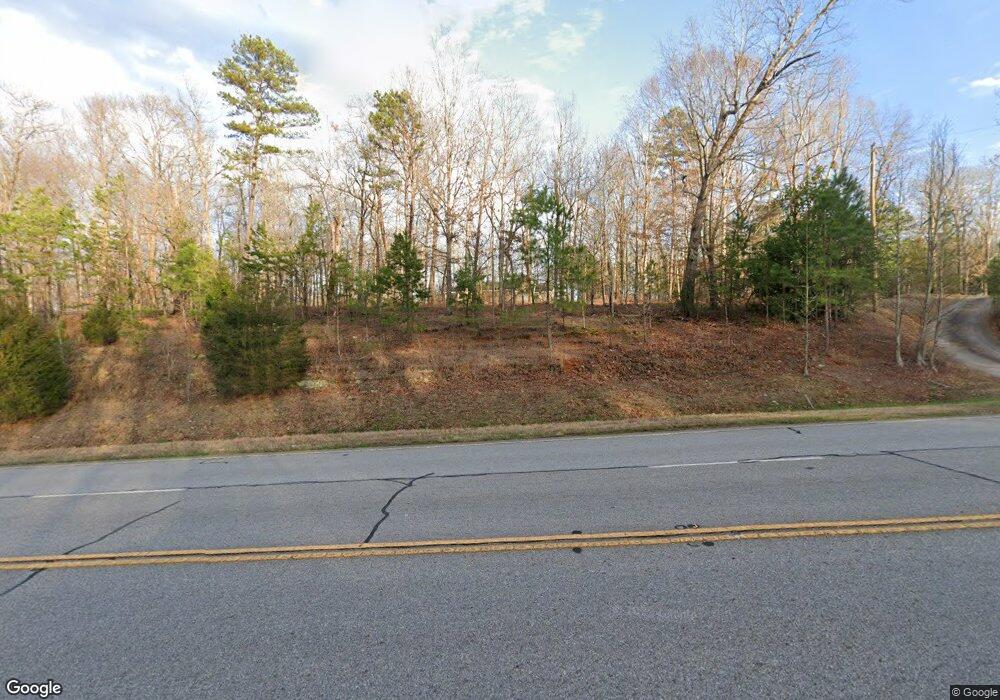
This home is located at 4811 Highway 106 S, Hull, GA 30646 and is currently estimated at $342,106, approximately $200 per square foot. 4811 Highway 106 S is a home located in Madison County with nearby schools including Madison County High School and Union Christian Academy.
Ownership History
Date
Name
Owned For
Owner Type
Purchase Details
Closed on
Jul 22, 2017
Sold by
Cape Eldridge B
Bought by
Johnson Heather Cape
Current Estimated Value
Purchase Details
Closed on
Jan 31, 2007
Sold by
Cape Eldridge B
Bought by
Cape Patricia A
Purchase Details
Closed on
May 15, 1997
Sold by
Cape Walter David
Bought by
Cape Eldridge B
Create a Home Valuation Report for This Property
The Home Valuation Report is an in-depth analysis detailing your home's value as well as a comparison with similar homes in the area
Home Values in the Area
Average Home Value in this Area
Purchase History
| Date | Buyer | Sale Price | Title Company |
|---|---|---|---|
| Johnson Heather Cape | -- | -- | |
| Cape Patricia A | -- | -- | |
| Cape Eldridge B | -- | -- |
Source: Public Records
Tax History Compared to Growth
Tax History
| Year | Tax Paid | Tax Assessment Tax Assessment Total Assessment is a certain percentage of the fair market value that is determined by local assessors to be the total taxable value of land and additions on the property. | Land | Improvement |
|---|---|---|---|---|
| 2024 | $2,098 | $80,621 | $14,302 | $66,319 |
| 2023 | $2,250 | $73,699 | $11,918 | $61,781 |
| 2022 | $1,717 | $62,264 | $8,194 | $54,070 |
| 2021 | $1,493 | $48,917 | $8,194 | $40,723 |
| 2020 | $1,467 | $47,726 | $7,003 | $40,723 |
| 2019 | $1,455 | $46,794 | $7,003 | $39,791 |
| 2018 | $1,401 | $44,909 | $6,407 | $38,502 |
| 2017 | $1,243 | $43,165 | $5,959 | $37,206 |
| 2016 | $763 | $36,578 | $5,426 | $31,152 |
| 2015 | $762 | $36,578 | $5,426 | $31,152 |
| 2014 | $776 | $36,960 | $5,650 | $31,310 |
| 2013 | -- | $36,960 | $5,650 | $31,310 |
Source: Public Records
Map
Nearby Homes
- 25 Williams Wilson Rd
- 110 Williams Wilson Rd
- 0 Stone Stewart Rd Unit 7519457
- 0 Stone Stewart Rd Unit 10452697
- 0 Stone Stewart Rd Unit 1023553
- 832 Stone Stewart Rd
- 280 Corey Dr
- 495 Hanley Rd
- 136 Wedgewood Dr
- 1246 Stone Stewart Rd
- 135 Adams Duncan Rd
- 905 Adams Duncan Rd
- 2888 Moons Grove Church Rd
- 0 Nowhere Rd Unit 10532129
- 166 Oak Cir
- 260 Oak Cir
- 1771 Leon Ellis Rd
- 3655 Neese Commerce Rd
- 4879 Highway 106 S
- 0 Stone Creek Dr Unit LOT 9 3167135
- 0 Stone Creek Dr
- 0 Stone Creek Dr Unit CM927312
- 0 Stone Creek Dr Unit CM953434
- 0 Stone Creek Dr Unit 10321357
- 0 Stone Creek Dr Unit 1018803
- 0 Stone Creek Dr Unit 3219085
- 0 Stone Creek Dr Unit 8077383
- 0 Stone Creek Dr Unit 8107184
- 0 Stone Creek Dr Unit 7080390
- 0 Stone Creek Dr Unit 7313512
- 0 Stone Creek Dr Unit 7386683
- 0 Stone Creek Dr Unit 7614917
- 0 Stone Creek Dr Unit 8112786
- 0 Stone Creek Dr Unit 8323109
- 0 Stone Creek Dr Unit 8582105
- 0 Stone Creek Dr Unit 8623794
- 151 Stone Stewart Rd
- 38 Stone Stewart Rd
