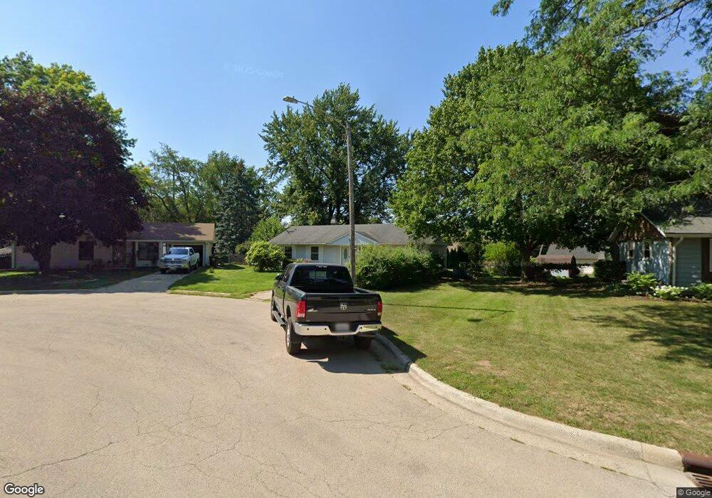
4812 Gurnee Ct Rockford, IL 61108
Estimated Value: $145,810 - $167,000
3
Beds
1
Bath
925
Sq Ft
$170/Sq Ft
Est. Value
About This Home
This home is located at 4812 Gurnee Ct, Rockford, IL 61108 and is currently estimated at $156,953, approximately $169 per square foot. 4812 Gurnee Ct is a home located in Winnebago County with nearby schools including A C Thompson Elementary School, Bernard W. Flinn Middle School, and Rockford East High School.
Ownership History
Date
Name
Owned For
Owner Type
Purchase Details
Closed on
Oct 30, 2017
Sold by
Johnson Craig A
Bought by
Jones Christopher J
Current Estimated Value
Home Financials for this Owner
Home Financials are based on the most recent Mortgage that was taken out on this home.
Original Mortgage
$76,000
Outstanding Balance
$63,651
Interest Rate
3.83%
Mortgage Type
New Conventional
Estimated Equity
$93,302
Purchase Details
Closed on
Jan 30, 1995
Bought by
Johnson Craig
Create a Home Valuation Report for This Property
The Home Valuation Report is an in-depth analysis detailing your home's value as well as a comparison with similar homes in the area
Home Values in the Area
Average Home Value in this Area
Purchase History
| Date | Buyer | Sale Price | Title Company |
|---|---|---|---|
| Jones Christopher J | $80,000 | Title Underwriters Agency | |
| Johnson Craig | $66,000 | -- |
Source: Public Records
Mortgage History
| Date | Status | Borrower | Loan Amount |
|---|---|---|---|
| Open | Jones Christopher J | $76,000 |
Source: Public Records
Tax History Compared to Growth
Tax History
| Year | Tax Paid | Tax Assessment Tax Assessment Total Assessment is a certain percentage of the fair market value that is determined by local assessors to be the total taxable value of land and additions on the property. | Land | Improvement |
|---|---|---|---|---|
| 2024 | $2,678 | $34,259 | $5,283 | $28,976 |
| 2023 | $2,514 | $30,208 | $4,658 | $25,550 |
| 2022 | $2,073 | $24,145 | $4,163 | $19,982 |
| 2021 | $1,978 | $22,139 | $3,817 | $18,322 |
| 2020 | $1,920 | $20,929 | $3,608 | $17,321 |
| 2019 | $1,869 | $19,948 | $3,439 | $16,509 |
| 2018 | $2,028 | $20,213 | $3,241 | $16,972 |
| 2017 | $1,980 | $19,345 | $3,102 | $16,243 |
| 2016 | $1,961 | $18,983 | $3,044 | $15,939 |
| 2015 | $993 | $18,983 | $3,044 | $15,939 |
| 2014 | $2,767 | $24,248 | $3,810 | $20,438 |
Source: Public Records
Map
Nearby Homes
- 4805 Waukegan Dr
- 2225 Welworth Ave
- 69XX Charles St
- 5334 Dierks Dr Unit 12
- 4216 Dakota Ln
- 5384 Dierks Dr
- 5384 Dierks Dr Unit 17
- 3928 Seward Ave
- 1721 Nixon Ct
- 1529 Kerstin Ct
- 3713 Connecticut Dr
- 5015 Valentine Place
- 5008 Valentine Place
- 1210 Woodridge Dr
- 3520 Thelma St
- 1223 Esmond Dr
- 3511 Carolina Ave
- 2715 Colorado Ave
- 4108 Tonawanda Ave
- 3419 Green Dale Dr
- 4808 Gurnee Ct
- 4816 Gurnee Ct
- 2221 Eggleston Rd
- 4804 Gurnee Ct
- 2414 Skokie Dr
- 2418 Skokie Dr
- 2213 Eggleston Rd Unit 2219
- 2410 Skokie Dr
- 2422 Skokie Dr
- 4815 Gurnee Ct
- 2406 Skokie Dr
- 4803 Gurnee Ct
- 4809 Gurnee Ct
- 2211 Eggleston Rd
- 2426 Skokie Dr
- 2424 Skokie Dr
- 2207 Eggleston Rd
- 2315 Eggleston Rd
- 2402 Skokie Dr