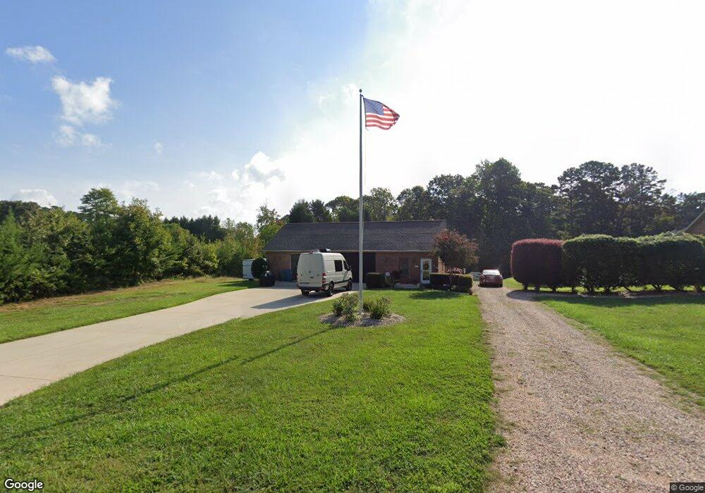
4814 Burris Rd Denver, NC 28037
Estimated Value: $200,804 - $906,000
Studio
--
Bath
--
Sq Ft
28,314
Sq Ft Lot
About This Home
This home is located at 4814 Burris Rd, Denver, NC 28037 and is currently estimated at $553,402. 4814 Burris Rd is a home located in Catawba County with nearby schools including Bandys High School, Sherrills Ford Elementary School, and Mill Creek Middle School.
Ownership History
Date
Name
Owned For
Owner Type
Purchase Details
Closed on
Nov 28, 2023
Sold by
Hlinak Ellen M and Hlinak Tammy L
Bought by
Hlinak Steven John
Current Estimated Value
Purchase Details
Closed on
Nov 6, 2020
Sold by
Hlinak Ellen M and Hlinak Tammy L
Bought by
Hlinak Ellen M and Hlinak Tammy L
Purchase Details
Closed on
May 6, 2019
Sold by
Hlinak Ellen M
Bought by
Hlinak Ellen M and Hlinak Tammy L
Purchase Details
Closed on
Sep 14, 2007
Sold by
Tucker Eric D and Tucker Cindy L
Bought by
Hlinak David J and Hlinak Ellen M
Purchase Details
Closed on
Jun 28, 2000
Create a Home Valuation Report for This Property
The Home Valuation Report is an in-depth analysis detailing your home's value as well as a comparison with similar homes in the area
Home Values in the Area
Average Home Value in this Area
Purchase History
| Date | Buyer | Sale Price | Title Company |
|---|---|---|---|
| Hlinak Steven John | -- | None Listed On Document | |
| Hlinak Ellen M | -- | None Available | |
| Hlinak Ellen M | -- | None Available | |
| Hlinak David J | $385,000 | None Available | |
| -- | $13,000 | -- |
Source: Public Records
Tax History
| Year | Tax Paid | Tax Assessment Tax Assessment Total Assessment is a certain percentage of the fair market value that is determined by local assessors to be the total taxable value of land and additions on the property. | Land | Improvement |
|---|---|---|---|---|
| 2025 | $288 | $58,500 | $29,100 | $29,400 |
| 2024 | $288 | $58,500 | $29,100 | $29,400 |
| 2023 | $282 | $49,100 | $18,200 | $30,900 |
| 2022 | $346 | $49,100 | $18,200 | $30,900 |
| 2021 | $346 | $49,100 | $18,200 | $30,900 |
| 2020 | $346 | $49,100 | $18,200 | $30,900 |
| 2019 | $346 | $49,100 | $0 | $0 |
| 2018 | $284 | $41,400 | $17,700 | $23,700 |
| 2017 | $284 | $0 | $0 | $0 |
| 2016 | $284 | $0 | $0 | $0 |
| 2015 | $275 | $41,400 | $17,700 | $23,700 |
| 2014 | $275 | $45,800 | $17,900 | $27,900 |
Source: Public Records
Map
Nearby Homes
- 7362 Bay Cove Ct
- 7508 Bankhead Rd
- 7282 James Ct
- 7261 Bay Ridge Dr
- 6938 Pebble Bay Dr
- 7300 Bay Cove Ct
- 7176 Lynbrook Creek Rd
- 7404 Bay Cove Ct
- 7162 Cobblefield Ln
- 4786 Heather Ln
- 6782 Barefoot Cove Ct
- 6682 Goose Point Dr
- 4950 River Hills Dr
- 4863 Marina Dr Unit 140
- 4869 Marina Dr Unit 141
- 4448 Hill St
- 4470 Power Dr
- 4478 Power Dr
- 6713 E Nc 150 Hwy
- 6706 Lineberger Rd
- 4820 Burris Rd
- 4800 Burris Rd
- 7149 Windy Oaks Dr
- 4811 Burris Rd
- 4817 Burris Rd
- 4797 Burris Rd
- 4832 Burris Rd
- 4780 Burris Rd
- 4785 Burris Rd
- 4825 Burris Rd
- 4773 Burris Rd
- 7150 Windy Oaks Dr
- 4760 Burris Rd
- 7164 Windy Oaks Dr
- 7175 Windy Oaks Dr
- 4849 Burris Rd
- 7176 Windy Oaks Dr
- 7186 Windy Oaks Dr
- 7195 Windy Oaks Dr
- 7198 Windy Oaks Dr
Your Personal Tour Guide
Ask me questions while you tour the home.