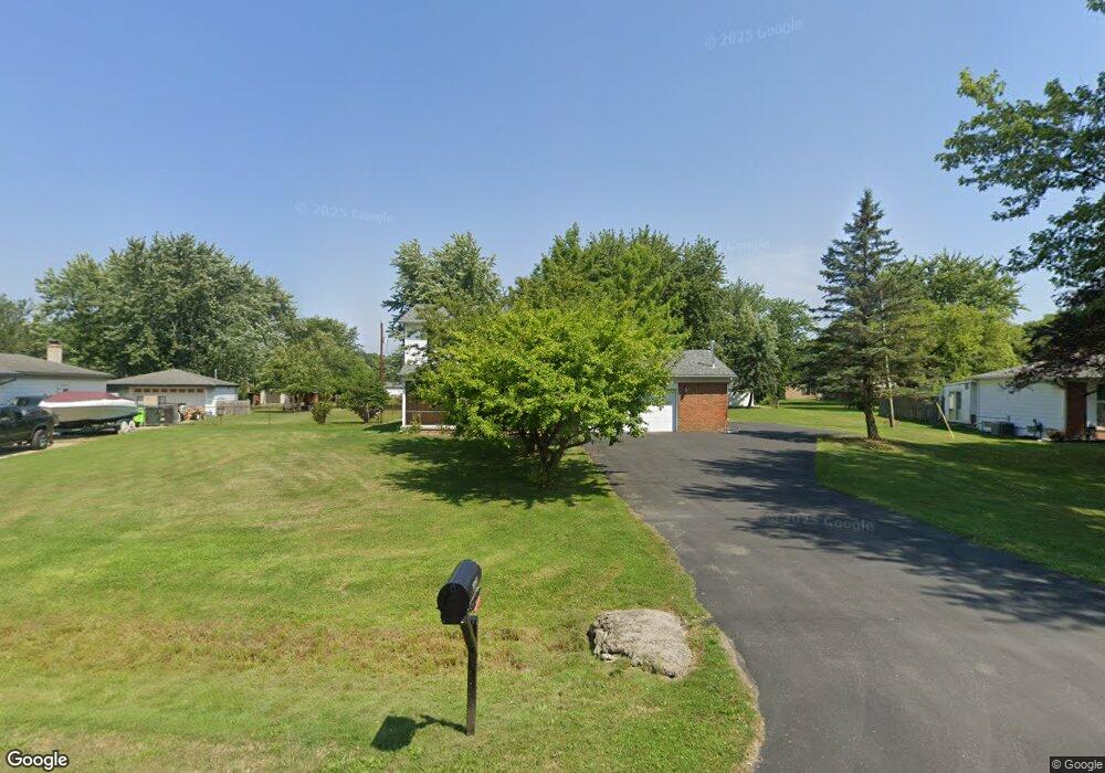
48141 Pheasant St Chesterfield, MI 48047
Estimated Value: $315,000 - $424,000
4
Beds
2
Baths
2,571
Sq Ft
$143/Sq Ft
Est. Value
About This Home
This home is located at 48141 Pheasant St, Chesterfield, MI 48047 and is currently estimated at $367,107, approximately $142 per square foot. 48141 Pheasant St is a home located in Macomb County with nearby schools including Dean A. Naldrett School, Anchor Bay Middle School South, and Anchor Bay High School.
Ownership History
Date
Name
Owned For
Owner Type
Purchase Details
Closed on
Sep 20, 2017
Sold by
Butler Ray C and Butler Wendy
Bought by
Butler Ray C and Butler Wendy
Current Estimated Value
Purchase Details
Closed on
Apr 10, 2003
Sold by
Butler Ray C and Butler Wendy
Bought by
Butler Ray C and Butler Wendy
Home Financials for this Owner
Home Financials are based on the most recent Mortgage that was taken out on this home.
Original Mortgage
$152,000
Interest Rate
6.02%
Mortgage Type
Purchase Money Mortgage
Create a Home Valuation Report for This Property
The Home Valuation Report is an in-depth analysis detailing your home's value as well as a comparison with similar homes in the area
Home Values in the Area
Average Home Value in this Area
Purchase History
| Date | Buyer | Sale Price | Title Company |
|---|---|---|---|
| Butler Ray C | -- | None Available | |
| Butler Ray C | -- | Philip R Seaver Title Co Inc |
Source: Public Records
Mortgage History
| Date | Status | Borrower | Loan Amount |
|---|---|---|---|
| Closed | Butler Ray C | $152,000 |
Source: Public Records
Tax History Compared to Growth
Tax History
| Year | Tax Paid | Tax Assessment Tax Assessment Total Assessment is a certain percentage of the fair market value that is determined by local assessors to be the total taxable value of land and additions on the property. | Land | Improvement |
|---|---|---|---|---|
| 2025 | $5,707 | $184,200 | $0 | $0 |
| 2024 | $3,145 | $169,600 | $0 | $0 |
| 2023 | $5,168 | $163,800 | $0 | $0 |
| 2022 | $5,168 | $150,700 | $0 | $0 |
| 2021 | $3,385 | $147,300 | $0 | $0 |
| 2020 | $1,930 | $141,700 | $0 | $0 |
| 2019 | $3,000 | $134,700 | $0 | $0 |
| 2018 | $3,043 | $128,600 | $20,800 | $107,800 |
| 2017 | $3,007 | $120,200 | $20,750 | $99,450 |
| 2016 | $3,000 | $120,200 | $0 | $0 |
| 2015 | $1,394 | $107,300 | $0 | $0 |
| 2014 | $1,394 | $89,100 | $17,550 | $71,550 |
| 2012 | -- | $0 | $0 | $0 |
Source: Public Records
Map
Nearby Homes
- 48093 Forbes St
- 47978 Jefferson Ave
- 47900 Jefferson Ave
- 47935 Remington Ct
- 47812 Forbes Dr
- 48041 Sugarbush Rd
- 48530 Sugarbush Rd Unit 45
- 48526 Jefferson Ave
- 47685 Jefferson Ave
- 48556 Harbor Dr
- 48590 Harbor Dr
- 50426 Jim Dr
- 29705 Alexandra Ln Unit 13
- 48765 Callens Rd
- 29213 Rachid Ln
- 50013 S Jimmy Ct
- 29371 Bayside Cir N
- 49039 Jefferson Ave
- 48855 Salt River Dr
- 48841 Salt River Dr
- 48149 Pheasant St
- 48192 Mallard Dr
- 48174 Mallard Dr
- 48184 Mallard Dr
- 48131 Pheasant St
- 48157 Pheasant St
- 48156 Mallard Dr
- 48202 Mallard Dr
- 48212 Mallard Dr
- 48121 Pheasant St
- 48136 Mallard Dr
- 48165 Pheasant St
- 48220 Mallard Dr
- 48126 Mallard Dr
- 48146 Pheasant St Unit visit williamsauctio
- 48146 Pheasant St
- 48146 Pheasant St Unit visit williamsaucti
- 48228 Mallard Dr
- 48111 Pheasant St
- 48132 Pheasant St