Estimated Value: $686,000 - $887,771
4
Beds
4
Baths
2,758
Sq Ft
$290/Sq Ft
Est. Value
About This Home
This home is located at 48141 SE Linhart Butte Rd, Sandy, OR 97055 and is currently estimated at $800,443, approximately $290 per square foot. 48141 SE Linhart Butte Rd is a home located in Clackamas County with nearby schools including Firwood Elementary School, Cedar Ridge Middle School, and Sandy High School.
Ownership History
Date
Name
Owned For
Owner Type
Purchase Details
Closed on
Oct 23, 2018
Sold by
Rysavy Michael J and Rysavy Tamarah
Bought by
Dindia Patricia Lynne
Current Estimated Value
Home Financials for this Owner
Home Financials are based on the most recent Mortgage that was taken out on this home.
Original Mortgage
$321,750
Outstanding Balance
$281,182
Interest Rate
4.6%
Mortgage Type
Adjustable Rate Mortgage/ARM
Estimated Equity
$519,261
Purchase Details
Closed on
Dec 8, 2005
Sold by
Indymac Bank
Bought by
Rysavy Michael J and Rysavy Tamarah
Home Financials for this Owner
Home Financials are based on the most recent Mortgage that was taken out on this home.
Original Mortgage
$263,920
Interest Rate
6.35%
Mortgage Type
Fannie Mae Freddie Mac
Purchase Details
Closed on
Jul 1, 2005
Sold by
Lapore Frank A
Bought by
Indymac Bank
Create a Home Valuation Report for This Property
The Home Valuation Report is an in-depth analysis detailing your home's value as well as a comparison with similar homes in the area
Home Values in the Area
Average Home Value in this Area
Purchase History
| Date | Buyer | Sale Price | Title Company |
|---|---|---|---|
| Dindia Patricia Lynne | $555,287 | First American Title | |
| Rysavy Michael J | $329,900 | First American | |
| Indymac Bank | $250,761 | Fatco |
Source: Public Records
Mortgage History
| Date | Status | Borrower | Loan Amount |
|---|---|---|---|
| Open | Dindia Patricia Lynne | $321,750 | |
| Previous Owner | Rysavy Michael J | $263,920 |
Source: Public Records
Tax History Compared to Growth
Tax History
| Year | Tax Paid | Tax Assessment Tax Assessment Total Assessment is a certain percentage of the fair market value that is determined by local assessors to be the total taxable value of land and additions on the property. | Land | Improvement |
|---|---|---|---|---|
| 2024 | $5,158 | $380,427 | -- | -- |
| 2023 | $5,158 | $369,348 | $0 | $0 |
| 2022 | $4,896 | $358,590 | $0 | $0 |
| 2021 | $4,723 | $348,143 | $0 | $0 |
| 2020 | $4,599 | $338,002 | $0 | $0 |
| 2019 | $4,579 | $328,158 | $0 | $0 |
| 2018 | $4,454 | $318,603 | $0 | $0 |
| 2017 | $4,354 | $309,320 | $0 | $0 |
| 2016 | $4,200 | $300,313 | $0 | $0 |
| 2015 | $4,084 | $291,563 | $0 | $0 |
| 2014 | $3,981 | $283,074 | $0 | $0 |
Source: Public Records
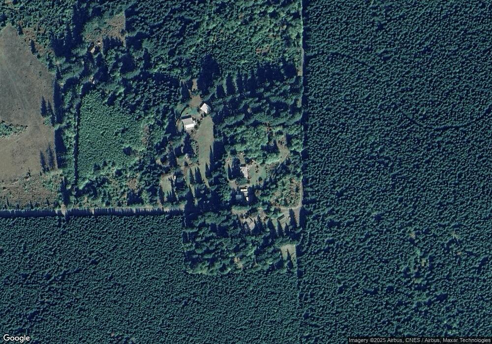
Map
Nearby Homes
- 46560 SE Wildcat Mountain Dr
- 45990 SE Jadrny Rd
- 23861 SE 442nd Ave
- 50010 SE Coalman Rd
- 43940 SE Music Camp Rd
- 20475 SE Baty Rd
- 44871 SE Highway 26
- 43232 SE Kleinsmith Rd
- 52135 E Terra Fern Dr
- 27507 SE Nelson Rd
- 20671 SE Greenleaf Dr
- 45495 SE Coalman Rd
- 50995 SE Baty Rd
- 21385 SE Firwood Rd
- 41975 SE Kitzmiller Rd
- 52920 E Sylvan Way
- 29380 SE Old Ranch Dr
- 0 SE Harvey Rd
- 22035 SE Firwood Rd
- 44434 SE Coalman Rd
- 48140 SE Linhart Butte Rd
- 47967 SE Linhart Butte Rd
- 47707 SE Linhart Butte Rd
- 24300 SE 472nd Ave
- 0 SE 472nd Ave
- 23340 SE Re-List
- 24325 SE 472nd Ave
- 23340 SE 476th Ave
- 49247 SE Wildcat Mountain Dr
- 49025 SE Wildcat Mountain Dr
- 49275 SE Wildcat Mountain Dr
- 23350 SE 476th Ave
- 23184 SE 476th Ave
- 24201 SE 472nd Ave
- 24020 SE 472nd Ave
- 24020 SE 472nd Ave
- 0 SE Wildcat Mountain Dr Unit 735535
- 0 SE Wildcat Mountain Dr Unit 292383
- 0 SE Wildcat Mountain Dr Unit 3004794
- 0 SE Wildcat Mountain Dr Unit 4020304