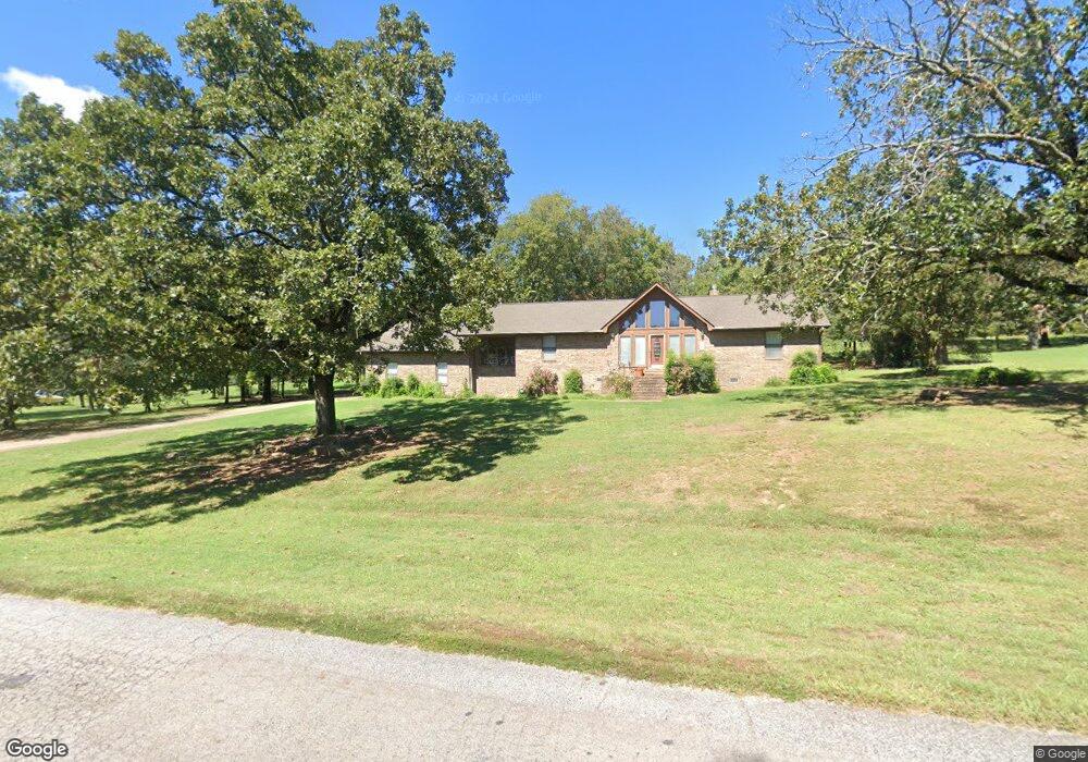
481485 E 1082 Rd Muldrow, OK 74948
Remy NeighborhoodEstimated Value: $211,356 - $421,000
2
Beds
2
Baths
1,776
Sq Ft
$180/Sq Ft
Est. Value
About This Home
This home is located at 481485 E 1082 Rd, Muldrow, OK 74948 and is currently estimated at $320,339, approximately $180 per square foot. 481485 E 1082 Rd is a home located in Sequoyah County with nearby schools including Roland Middle School and Roland High School.
Ownership History
Date
Name
Owned For
Owner Type
Purchase Details
Closed on
May 22, 2019
Sold by
Hill Phyllis
Bought by
Hill Bobby Dale
Current Estimated Value
Purchase Details
Closed on
Nov 24, 2009
Sold by
Fleming Rhonda Kye
Bought by
Hill Bobby Dale and Hill Bbhyllis
Home Financials for this Owner
Home Financials are based on the most recent Mortgage that was taken out on this home.
Original Mortgage
$142,373
Outstanding Balance
$91,874
Interest Rate
4.93%
Mortgage Type
FHA
Estimated Equity
$228,465
Purchase Details
Closed on
Jun 25, 2009
Sold by
Flemina Verda M
Bought by
Fleming Rhonda Kye
Purchase Details
Closed on
Jan 5, 2007
Sold by
Fremins Rhonda Kae
Bought by
Price Duane and Price Doris
Purchase Details
Closed on
Jun 24, 2003
Sold by
Fleming Verda
Bought by
Fleming Rhonda Kye
Create a Home Valuation Report for This Property
The Home Valuation Report is an in-depth analysis detailing your home's value as well as a comparison with similar homes in the area
Home Values in the Area
Average Home Value in this Area
Purchase History
| Date | Buyer | Sale Price | Title Company |
|---|---|---|---|
| Hill Bobby Dale | -- | None Available | |
| Hill Bobby Dale | -- | None Available | |
| Hill Bobby Dale | $145,000 | None Available | |
| Fleming Rhonda Kye | -- | None Available | |
| Price Duane | -- | None Available | |
| Fleming Rhonda Kye | -- | -- |
Source: Public Records
Mortgage History
| Date | Status | Borrower | Loan Amount |
|---|---|---|---|
| Open | Hill Bobby Dale | $142,373 |
Source: Public Records
Tax History Compared to Growth
Tax History
| Year | Tax Paid | Tax Assessment Tax Assessment Total Assessment is a certain percentage of the fair market value that is determined by local assessors to be the total taxable value of land and additions on the property. | Land | Improvement |
|---|---|---|---|---|
| 2025 | $1,079 | $13,135 | $1,813 | $11,322 |
| 2024 | $1,079 | $12,753 | $1,760 | $10,993 |
| 2023 | $1,046 | $12,381 | $1,760 | $10,621 |
| 2022 | $972 | $12,021 | $1,760 | $10,261 |
| 2021 | $989 | $12,100 | $1,760 | $10,340 |
| 2020 | $1,010 | $12,100 | $1,760 | $10,340 |
| 2019 | $1,037 | $12,392 | $1,760 | $10,632 |
| 2018 | $977 | $12,678 | $1,759 | $10,919 |
| 2017 | $964 | $12,309 | $1,320 | $10,989 |
| 2016 | $964 | $12,463 | $1,320 | $11,143 |
| 2015 | $965 | $12,749 | $1,320 | $11,429 |
| 2014 | $991 | $13,046 | $1,320 | $11,726 |
Source: Public Records
Map
Nearby Homes
- 5022 Dora Rd
- TBD Holt Summit Place
- 1522 Holt Summit Place
- 4038 Dora Rd
- 106439 S 4806 Rd
- 479872 E 1080 Rd
- 479786 E 1080 Rd
- 106240 S 4806 Rd
- 2001 Scarlett Oaks
- 2624 Red Oak Dr
- 2452 Park Ave
- 2710 Parkway Ln
- 2117 Parkway Cir
- 2309 Park Ridge Dr
- 2000 Park Ridge Dr
- 1912 Parkridge Dr
- 3116 Spring St
- 16 Northwood Dr
- 4603 N 32nd St
- 4510 Irene St
- 1 Saddleback Way
- 481455 E 1082 Rd
- 481531 E 1082 Rd
- 481394 E 1080 Rd
- 481353 E 1082 Rd
- 481507 E 1080 Rd
- 481356 E 1080 Rd
- 481173 E 1082 Rd
- 481335 E 1082 Rd
- 481373 E 1080 Rd
- 73 Saddleback Rd
- 39 Saddleback Rd
- 481320 E 1080 Rd
- 481300 E 1080 Rd
- 481278 E 1080 Rd
- 481315 E 1080 Rd
- 481253 E 1080 Rd
- 481264 E 1082 Rd
- 481214 E 1082 Rd
- 481156 E 1082 Rd