Estimated Value: $301,000 - $344,937
--
Bed
--
Bath
2,556
Sq Ft
$126/Sq Ft
Est. Value
About This Home
This home is located at 4815 John Day Hwy, Vale, OR 97918 and is currently estimated at $322,969, approximately $126 per square foot. 4815 John Day Hwy is a home located in Malheur County with nearby schools including Vale Middle School, Vale High School, and Timberline Seventh-Day Adventist Elementary School.
Ownership History
Date
Name
Owned For
Owner Type
Purchase Details
Closed on
May 30, 2025
Sold by
Seals S Jeff S and Seals Susan E
Bought by
Randy Jefferson Seals And Katrin Marie Seals and Seals
Current Estimated Value
Home Financials for this Owner
Home Financials are based on the most recent Mortgage that was taken out on this home.
Original Mortgage
$234,200
Outstanding Balance
$233,601
Interest Rate
6.83%
Mortgage Type
New Conventional
Estimated Equity
$89,368
Purchase Details
Closed on
Jun 7, 2024
Sold by
Dudley Delong
Bought by
Seals S Jeff S and Seals Susan E
Home Financials for this Owner
Home Financials are based on the most recent Mortgage that was taken out on this home.
Original Mortgage
$330,000
Interest Rate
7.17%
Mortgage Type
New Conventional
Create a Home Valuation Report for This Property
The Home Valuation Report is an in-depth analysis detailing your home's value as well as a comparison with similar homes in the area
Home Values in the Area
Average Home Value in this Area
Purchase History
| Date | Buyer | Sale Price | Title Company |
|---|---|---|---|
| Randy Jefferson Seals And Katrin Marie Seals | $335,000 | Amerititle | |
| Seals S Jeff S | $295,000 | None Listed On Document |
Source: Public Records
Mortgage History
| Date | Status | Borrower | Loan Amount |
|---|---|---|---|
| Open | Randy Jefferson Seals And Katrin Marie Seals | $234,200 | |
| Previous Owner | Seals S Jeff S | $330,000 |
Source: Public Records
Tax History Compared to Growth
Tax History
| Year | Tax Paid | Tax Assessment Tax Assessment Total Assessment is a certain percentage of the fair market value that is determined by local assessors to be the total taxable value of land and additions on the property. | Land | Improvement |
|---|---|---|---|---|
| 2024 | $1,679 | $159,980 | $3,296 | $156,684 |
| 2023 | $1,670 | $160,017 | $7,896 | $152,121 |
| 2022 | $1,626 | $155,290 | $7,599 | $147,691 |
| 2021 | $1,660 | $150,448 | $7,058 | $143,390 |
| 2020 | $1,550 | $146,270 | $7,056 | $139,214 |
| 2019 | $1,515 | $142,124 | $6,964 | $135,160 |
| 2018 | $1,485 | $138,187 | $6,963 | $131,224 |
| 2017 | $1,422 | $134,363 | $6,961 | $127,402 |
| 2016 | $1,329 | $130,652 | $6,960 | $123,692 |
| 2015 | $1,334 | $127,040 | $6,950 | $120,090 |
Source: Public Records
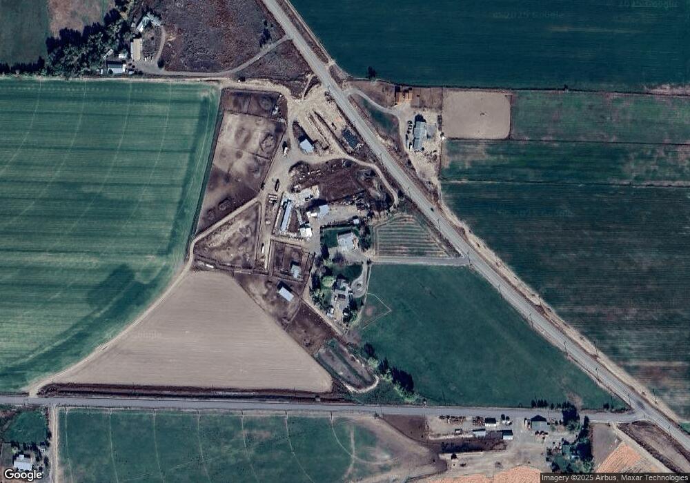
Map
Nearby Homes
- 2712 13th Ave
- 2090 7th Ave W
- 4370 S Road D
- 3029 6th Ave Unit 1
- 1642 Barlow Rd
- 2175 Graham Blvd
- 3961 John Day Hwy
- 1925 Graham Blvd
- 1882 Graham Blvd
- 927 Haul Rd
- TBD Ash St
- TBD Thousand Springs Rd
- 650 Ash St
- 520 Honeysuckle Ln
- 948 Sierra St
- 908 Sierra St
- 255 Elm St
- 840 Sierra St
- 250 Elm St N
- 841 Campbell St