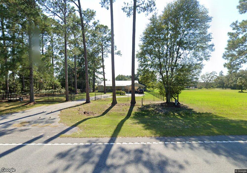
4815 Pearson Hwy Homerville, GA 31634
Estimated Value: $133,724 - $201,000
--
Bed
2
Baths
1,792
Sq Ft
$94/Sq Ft
Est. Value
About This Home
This home is located at 4815 Pearson Hwy, Homerville, GA 31634 and is currently estimated at $168,681, approximately $94 per square foot. 4815 Pearson Hwy is a home located in Clinch County with nearby schools including Clinch County Elementary School, Clinch County Middle School, and Clinch County High School.
Ownership History
Date
Name
Owned For
Owner Type
Purchase Details
Closed on
May 20, 2016
Sold by
Hendley Richard Garrett
Bought by
Smith Benjamin Wayne
Current Estimated Value
Home Financials for this Owner
Home Financials are based on the most recent Mortgage that was taken out on this home.
Original Mortgage
$82,417
Outstanding Balance
$65,801
Interest Rate
3.75%
Mortgage Type
FHA
Estimated Equity
$102,880
Purchase Details
Closed on
Feb 5, 2015
Sold by
Stalvey Donald
Bought by
Hendley Richard Garrett and Hendley Daphne Caroline
Home Financials for this Owner
Home Financials are based on the most recent Mortgage that was taken out on this home.
Original Mortgage
$74,349
Interest Rate
3.81%
Mortgage Type
New Conventional
Purchase Details
Closed on
May 7, 2013
Sold by
Vickers Whitley William
Bought by
Stalvey I Donald
Purchase Details
Closed on
Apr 28, 2009
Sold by
Vickers Whitley William
Bought by
Department Of Transportation
Create a Home Valuation Report for This Property
The Home Valuation Report is an in-depth analysis detailing your home's value as well as a comparison with similar homes in the area
Home Values in the Area
Average Home Value in this Area
Purchase History
| Date | Buyer | Sale Price | Title Company |
|---|---|---|---|
| Smith Benjamin Wayne | $90,000 | -- | |
| Hendley Richard Garrett | $74,308 | -- | |
| Stalvey I Donald | $10,000 | -- | |
| Department Of Transportation | -- | -- |
Source: Public Records
Mortgage History
| Date | Status | Borrower | Loan Amount |
|---|---|---|---|
| Open | Smith Benjamin Wayne | $82,417 | |
| Previous Owner | Hendley Richard Garrett | $74,349 |
Source: Public Records
Tax History Compared to Growth
Tax History
| Year | Tax Paid | Tax Assessment Tax Assessment Total Assessment is a certain percentage of the fair market value that is determined by local assessors to be the total taxable value of land and additions on the property. | Land | Improvement |
|---|---|---|---|---|
| 2024 | $1,190 | $35,720 | $2,120 | $33,600 |
| 2023 | $1,190 | $35,720 | $2,120 | $33,600 |
| 2022 | $1,190 | $35,720 | $2,120 | $33,600 |
| 2021 | $1,190 | $35,720 | $2,120 | $33,600 |
| 2020 | $1,191 | $35,720 | $2,120 | $33,600 |
| 2019 | $1,191 | $35,720 | $2,120 | $33,600 |
| 2018 | $1,209 | $35,720 | $2,120 | $33,600 |
| 2017 | $1,209 | $35,720 | $2,120 | $33,600 |
| 2016 | $956 | $28,240 | $2,120 | $26,120 |
| 2015 | -- | $28,240 | $2,120 | $26,120 |
| 2014 | -- | $28,240 | $2,120 | $26,120 |
Source: Public Records
Map
Nearby Homes
- 0 William St
- 911 Woodlake Dr
- 429 Holly Dr
- 0 Locklier Rd
- 1386 Carswell Street Extension
- 1362 Carswell Street Extension
- 59 Ann St
- 314 Pine St
- 222 E Elna St
- 244 Courtland Ave
- 0 Us-441 S
- 0 U S 84 Unit 2 10563291
- 0 U S 84 Unit 1 10563254
- 0 U S 84 Unit 3 10563296
- 0 U S 84 Unit 4 10563302
- 102 McGlashin Dr
- Highway 84
- Highway 84
- County Dirt Rd
- Highway 84
- 137 Crosby Ln
- 4757 Pearson Hwy
- 90 Crosby Ln
- 315 Berry Patch Rd
- 4901 Pearson Hwy
- 148 Crosby Ln
- 4695 Pearson Hwy
- 4631 Pearson Hwy
- 211 Creekside Dr
- 4601 Pearson Hwy
- 5102 Pearson Hwy
- 192 Berry Patch Rd
- 270 Berry Patch Rd
- 94 Berry Patch Rd
- 315 Berry Patch Rd
- 171 Berry Patch Rd
- 307 Berry Patch Rd
- 260 Country Ln
- 47 Leon Morris Rd
- 451 Redman Morris Rd