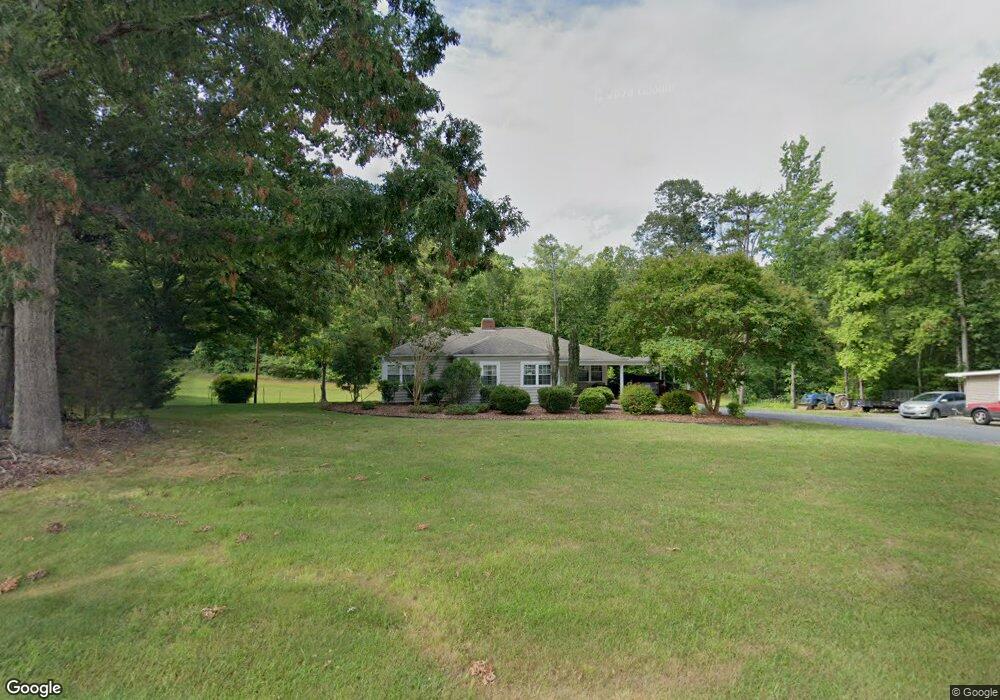
4815 Robbins Cir Asheboro, NC 27205
Estimated Value: $259,000 - $282,971
--
Bed
2
Baths
1,516
Sq Ft
$182/Sq Ft
Est. Value
About This Home
This home is located at 4815 Robbins Cir, Asheboro, NC 27205 and is currently estimated at $275,493, approximately $181 per square foot. 4815 Robbins Cir is a home located in Randolph County with nearby schools including Sycamore Elementary School, Tabernacle Elementary School, and Uwharrie Ridge Six-Twelve.
Ownership History
Date
Name
Owned For
Owner Type
Purchase Details
Closed on
Jan 22, 2021
Sold by
Chriscoe Jared G and Chriscoe Amanda F
Bought by
Chriscoe Jared G and Chriscoe Amanda F
Current Estimated Value
Purchase Details
Closed on
Apr 26, 2011
Sold by
Step Three Inc
Bought by
Chriscoe Jared G and Foxworth Amanda M
Home Financials for this Owner
Home Financials are based on the most recent Mortgage that was taken out on this home.
Original Mortgage
$117,616
Outstanding Balance
$80,623
Interest Rate
4.74%
Mortgage Type
New Conventional
Estimated Equity
$194,870
Purchase Details
Closed on
Jan 11, 2010
Sold by
Robbins Gerald Allen
Bought by
Step Three Inc
Create a Home Valuation Report for This Property
The Home Valuation Report is an in-depth analysis detailing your home's value as well as a comparison with similar homes in the area
Home Values in the Area
Average Home Value in this Area
Purchase History
| Date | Buyer | Sale Price | Title Company |
|---|---|---|---|
| Chriscoe Jared G | -- | None Available | |
| Chriscoe Jared G | $113,500 | None Available | |
| Step Three Inc | $68,000 | None Available |
Source: Public Records
Mortgage History
| Date | Status | Borrower | Loan Amount |
|---|---|---|---|
| Open | Chriscoe Jared G | $117,616 |
Source: Public Records
Tax History Compared to Growth
Tax History
| Year | Tax Paid | Tax Assessment Tax Assessment Total Assessment is a certain percentage of the fair market value that is determined by local assessors to be the total taxable value of land and additions on the property. | Land | Improvement |
|---|---|---|---|---|
| 2025 | $1,043 | $166,760 | $43,010 | $123,750 |
| 2024 | $1,043 | $166,760 | $43,010 | $123,750 |
| 2023 | $1,043 | $166,760 | $43,010 | $123,750 |
| 2022 | $876 | $115,340 | $30,450 | $84,890 |
| 2021 | $876 | $115,340 | $30,450 | $84,890 |
| 2020 | $876 | $115,340 | $30,450 | $84,890 |
| 2019 | $876 | $115,340 | $30,450 | $84,890 |
| 2018 | $846 | $107,730 | $20,410 | $87,320 |
| 2016 | $820 | $107,726 | $20,410 | $87,316 |
| 2015 | $823 | $107,726 | $20,410 | $87,316 |
| 2014 | $823 | $107,726 | $20,410 | $87,316 |
Source: Public Records
Map
Nearby Homes
- 677 Mount Shepherd Rd
- 4851 Creeks Crossing Rd
- 4874 Creeks Crossing Rd
- 848 Hidden Ct
- 5218 Old Lexington Rd
- 4804 Old Lexington Rd
- 0 Parinna Dr
- 2102 Pleasant Union Rd
- 160 Tabernacle Church Rd
- 1194 Koonce Dr
- 1271 Thayer Rd
- 0 Gregory Ct
- 941 Sawyersville Rd
- 1107 Plantation Way
- 5020 Cashatt Rd
- 150 Fuller Mill Rd S
- 1874 Thayer Rd
- Lot 12 Skeens Mill Rd
- Lot 10 Skeens Mill Rd
- 5172 Jordan Valley Rd
- 0 Robbins Cir
- 4683 Robbins Cir
- 4665 Robbins Cir
- 4879 Robbins Cir
- 4661 Robbins Cir
- 4639 Robbins Cir
- 294 Cameron Dr
- 4902 Robbins Cir
- 4630 Robbins Cir
- 271 Cameron Dr
- 289 Cameron Dr
- 4892 Robbins Cir
- 4617 Robbins Cir
- 4890 Robbins Cir
- 222 Hoover Hill Rd
- 982 Mount Shepherd Rd
- 4527 Robbins Cir
- 1069 Mount Shepherd Rd
- 216 Hoover Hill Rd
- 242 Hoover Hill Rd