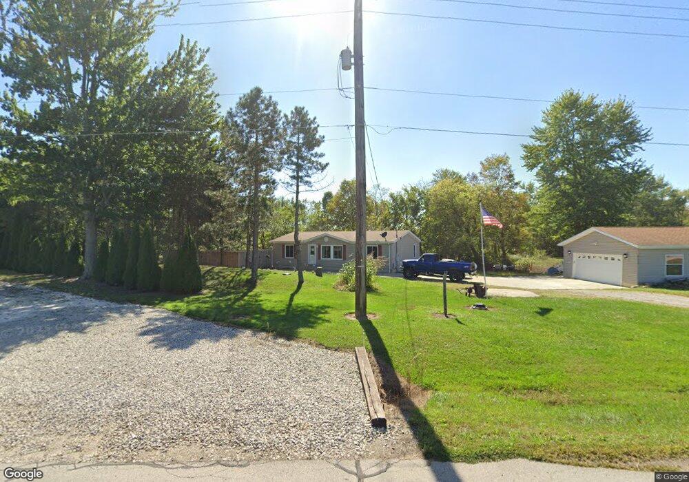
4815 State Route 18 Wakeman, OH 44889
Estimated Value: $129,500 - $290,000
3
Beds
2
Baths
1,232
Sq Ft
$177/Sq Ft
Est. Value
About This Home
This home is located at 4815 State Route 18, Wakeman, OH 44889 and is currently estimated at $217,875, approximately $176 per square foot. 4815 State Route 18 is a home located in Huron County with nearby schools including Western Reserve Elementary School, Western Reserve Middle School, and Western Reserve High School.
Ownership History
Date
Name
Owned For
Owner Type
Purchase Details
Closed on
May 19, 2022
Sold by
Cammarn Christine M
Bought by
Milde April M and Milde Jeffrey L
Current Estimated Value
Purchase Details
Closed on
Jan 18, 2022
Sold by
Cammarn Gilbert E and Cammarn Y
Bought by
Cammarn Christine M and Cammarn Y
Purchase Details
Closed on
Jan 12, 2022
Sold by
Cammarn Gilbert E and Cammarn Y
Bought by
Cammarn Christine M and Cammarn Y
Purchase Details
Closed on
Apr 18, 2000
Bought by
Cammarn Gilbert E and Cammarn Christine M
Purchase Details
Closed on
Aug 15, 1994
Sold by
Mcintyre James W
Bought by
Millis Allen L
Create a Home Valuation Report for This Property
The Home Valuation Report is an in-depth analysis detailing your home's value as well as a comparison with similar homes in the area
Home Values in the Area
Average Home Value in this Area
Purchase History
| Date | Buyer | Sale Price | Title Company |
|---|---|---|---|
| Milde April M | -- | -- | |
| Cammarn Christine M | -- | -- | |
| Cammarn Christine M | -- | -- | |
| Cammarn Gilbert E | $16,000 | -- | |
| Millis Allen L | $138,500 | -- | |
| Millis Allen L | $200 | -- |
Source: Public Records
Tax History Compared to Growth
Tax History
| Year | Tax Paid | Tax Assessment Tax Assessment Total Assessment is a certain percentage of the fair market value that is determined by local assessors to be the total taxable value of land and additions on the property. | Land | Improvement |
|---|---|---|---|---|
| 2024 | $132 | $3,920 | $650 | $3,270 |
| 2023 | $132 | $2,580 | $500 | $2,080 |
| 2022 | $83 | $2,580 | $500 | $2,080 |
| 2021 | $86 | $2,580 | $500 | $2,080 |
| 2020 | $85 | $2,440 | $390 | $2,050 |
| 2019 | $84 | $2,440 | $390 | $2,050 |
| 2018 | $84 | $2,440 | $390 | $2,050 |
| 2017 | $84 | $2,500 | $300 | $2,200 |
| 2016 | $83 | $2,500 | $300 | $2,200 |
| 2015 | $82 | $2,520 | $310 | $2,210 |
| 2014 | $85 | $2,530 | $320 | $2,210 |
| 2013 | $84 | $2,530 | $320 | $2,210 |
Source: Public Records
Map
Nearby Homes
- 1910 Wenz Rd
- 1501 Fitchville River Rd
- 1491 Vesta Rd
- 1195 Fitchville River Rd
- 2860 Derussey Rd
- 5951 Ohio 303
- 1201 Monroe Rd
- 6175 U S 20
- 34 Cherdon Cir
- 42 Stony Brook Ln
- 22 E Main St
- 27 Deer Run Dr
- 5 Foxwood Cir
- 22 Foxwood Cir
- 20011 Gore Orphanage Rd
- 5810 U S 20 Unit 47
- 5810 U S 20 Unit 3
- 5810 U S 20 Unit 72
- 5810 U S 20 Unit 98
- 5810 U S 20 Unit 111
- 4815 State Route 18
- 4815 Ohio 18
- 4819 State Route 18
- 4800 State Route 18
- 4892 Old State Route 18
- 4929 Old State Route 18
- 4930 Old State Route 18
- 2349 Saint Johns Rd
- 4735 State Route 18
- 2359 Saint Johns Rd
- 2211 Ohio 18
- 4961 State Route 18
- 4975 State Route 18
- 2366 Saint Johns Rd
- 5004 State Route 18
- 4774 Zenobia Rd
- 4728 Zenobia Rd
- 4692 Zenobia Rd
- 4918 Zenobia Rd
- 2177 State Route 60