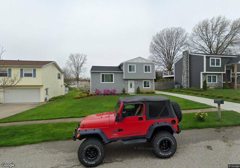
4816 Foxboro Ct Erie, PA 16510
Millcreek NeighborhoodEstimated Value: $171,000 - $236,000
3
Beds
1
Bath
936
Sq Ft
$214/Sq Ft
Est. Value
About This Home
This home is located at 4816 Foxboro Ct, Erie, PA 16510 and is currently estimated at $200,118, approximately $213 per square foot. 4816 Foxboro Ct is a home located in Erie County with nearby schools including Belle Valley Elementary School, McDowell High School, and James S. Wilson Middle School.
Ownership History
Date
Name
Owned For
Owner Type
Purchase Details
Closed on
Jun 28, 2016
Sold by
Wells Fargo Bank
Bought by
Johnson Wayne Gustave
Current Estimated Value
Purchase Details
Closed on
Mar 11, 2016
Sold by
Smith Robert G and Smith Dawn M
Bought by
Wells Fargo Bank Na
Purchase Details
Closed on
Oct 18, 2006
Sold by
Shugerts Michael F
Bought by
Smith Robert G and Smith Dawn
Home Financials for this Owner
Home Financials are based on the most recent Mortgage that was taken out on this home.
Original Mortgage
$116,078
Interest Rate
6.49%
Mortgage Type
FHA
Purchase Details
Closed on
Jun 28, 1996
Sold by
Pacak Jr Charles W and Pacak Kimberly A
Bought by
Shugerts Michael F
Create a Home Valuation Report for This Property
The Home Valuation Report is an in-depth analysis detailing your home's value as well as a comparison with similar homes in the area
Home Values in the Area
Average Home Value in this Area
Purchase History
| Date | Buyer | Sale Price | Title Company |
|---|---|---|---|
| Johnson Wayne Gustave | $85,833 | Attention Boston National Ti | |
| Wells Fargo Bank Na | $2,448 | None Available | |
| Smith Robert G | $117,900 | None Available | |
| Shugerts Michael F | $77,700 | -- |
Source: Public Records
Mortgage History
| Date | Status | Borrower | Loan Amount |
|---|---|---|---|
| Previous Owner | Smith Robert G | $116,078 |
Source: Public Records
Tax History Compared to Growth
Tax History
| Year | Tax Paid | Tax Assessment Tax Assessment Total Assessment is a certain percentage of the fair market value that is determined by local assessors to be the total taxable value of land and additions on the property. | Land | Improvement |
|---|---|---|---|---|
| 2025 | $3,195 | $116,260 | $36,300 | $79,960 |
| 2024 | $3,112 | $116,260 | $36,300 | $79,960 |
| 2023 | $2,937 | $116,260 | $36,300 | $79,960 |
| 2022 | $2,084 | $85,833 | $36,300 | $49,533 |
| 2021 | $2,061 | $85,833 | $36,300 | $49,533 |
| 2020 | $2,040 | $85,833 | $36,300 | $49,533 |
| 2019 | $2,006 | $85,833 | $36,300 | $49,533 |
| 2018 | $1,956 | $85,833 | $36,300 | $49,533 |
| 2017 | $2,644 | $116,260 | $36,300 | $79,960 |
| 2016 | $3,159 | $116,260 | $36,300 | $79,960 |
| 2015 | $3,130 | $116,260 | $36,300 | $79,960 |
| 2014 | $986 | $116,260 | $36,300 | $79,960 |
Source: Public Records
Map
Nearby Homes
- 0 Conrad Rd
- 4315 Fargo St
- 4206 Stanton St
- 2424 E 43rd St
- 3950 Rice Ave
- 2554 Pepper Tree Dr
- 3913 English Ave
- 2021 E 38th St
- 4309 Koehler Rd
- 2227 E 38th St
- 2259 E 38th St
- 5149 Henderson Rd Unit 139
- 5149 Henderson Rd Unit 110
- 3816 Stanton St
- 2738 E 44th St
- 1323 E Grandview Blvd
- 0 Old French Rd Unit 181790
- 4903 Grouse Hollow Dr
- 3625 Roma Dr
- 1621 E 37th St
- 4810 Foxboro Ct
- 4822 Foxboro Ct
- 2044 Asheboro Dr
- 2032 Asheboro Dr
- 4808 Foxboro Ct
- 2033 E Gore Rd
- 4817 Foxboro Ct
- 2026 Asheboro Dr
- 2027 E Gore Rd
- 4811 Foxboro Ct
- 2062 Asheboro Dr
- 4803 Foxboro Ct
- 2021 E Gore Rd
- 2020 Asheboro Dr
- 2043 Asheboro Dr
- 2033 Asheboro Dr
- 2068 Asheboro Dr
- 2027 Asheboro Dr
- 2015 E Gore Rd