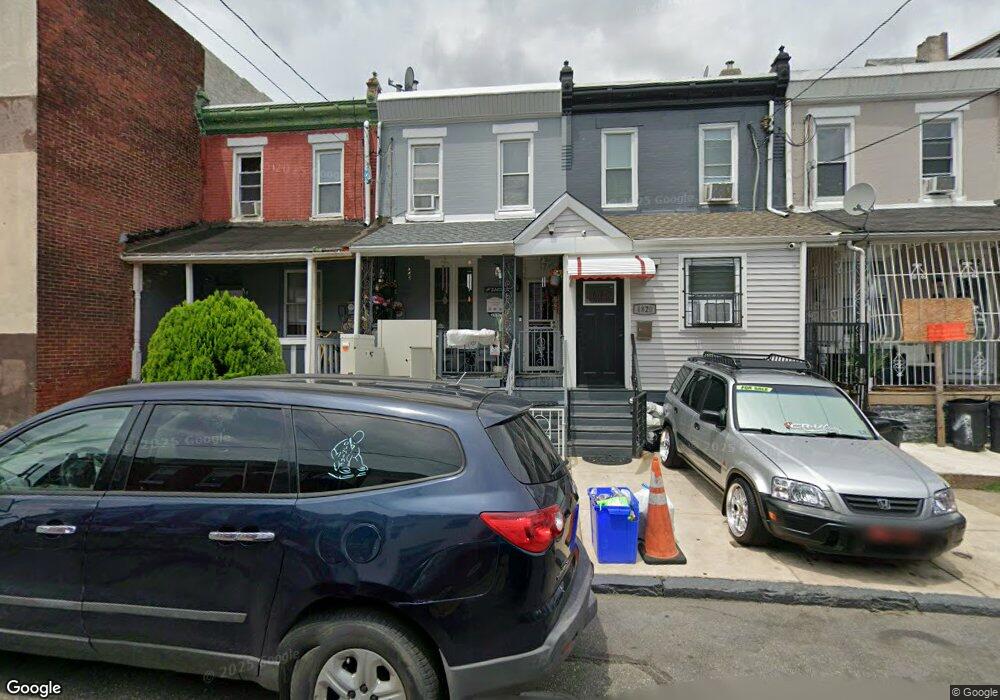
4816 Hawthorne St Philadelphia, PA 19124
Frankford NeighborhoodEstimated Value: $115,000 - $244,000
3
Beds
1
Bath
1,147
Sq Ft
$141/Sq Ft
Est. Value
About This Home
This home is located at 4816 Hawthorne St, Philadelphia, PA 19124 and is currently estimated at $161,680, approximately $140 per square foot. 4816 Hawthorne St is a home located in Philadelphia County with nearby schools including Harding Warren G Middle School, Frankford High School, and Mastery Schools Smedley Elementary.
Ownership History
Date
Name
Owned For
Owner Type
Purchase Details
Closed on
Jan 12, 2016
Sold by
Famille Sidi Real Estate Llc
Bought by
El Kharrat Daniel Holdings Llc
Current Estimated Value
Purchase Details
Closed on
Oct 27, 2011
Sold by
Sanel Properties Llc
Bought by
Famille Sidi Real Estate Llc
Purchase Details
Closed on
Jul 14, 2011
Sold by
Thompson Ann and City Of Philadelphia
Bought by
Sanel Properties Llc
Create a Home Valuation Report for This Property
The Home Valuation Report is an in-depth analysis detailing your home's value as well as a comparison with similar homes in the area
Home Values in the Area
Average Home Value in this Area
Purchase History
| Date | Buyer | Sale Price | Title Company |
|---|---|---|---|
| El Kharrat Daniel Holdings Llc | $45,000 | None Available | |
| Famille Sidi Real Estate Llc | $11,000 | None Available | |
| Sanel Properties Llc | $10,100 | None Available |
Source: Public Records
Tax History Compared to Growth
Tax History
| Year | Tax Paid | Tax Assessment Tax Assessment Total Assessment is a certain percentage of the fair market value that is determined by local assessors to be the total taxable value of land and additions on the property. | Land | Improvement |
|---|---|---|---|---|
| 2026 | $1,153 | $131,000 | $26,200 | $104,800 |
| 2025 | $1,153 | $131,000 | $26,200 | $104,800 |
| 2024 | $1,153 | $131,000 | $26,200 | $104,800 |
| 2023 | $1,153 | $82,400 | $16,480 | $65,920 |
| 2022 | $717 | $82,400 | $16,480 | $65,920 |
| 2021 | $717 | $0 | $0 | $0 |
| 2020 | $717 | $0 | $0 | $0 |
| 2019 | $689 | $0 | $0 | $0 |
| 2018 | $920 | $0 | $0 | $0 |
| 2017 | $920 | $0 | $0 | $0 |
| 2016 | $920 | $0 | $0 | $0 |
| 2015 | $880 | $0 | $0 | $0 |
| 2014 | -- | $65,700 | $16,224 | $49,476 |
| 2012 | -- | $5,536 | $585 | $4,951 |
Source: Public Records
Map
Nearby Homes
- 4843 Duffield St
- 1688 Fillmore St
- 1724 Harrison St
- 1636 Fillmore St
- 4943 Duffield St
- 1818 Harrison St
- 4938 Mulberry St
- 4942 Mulberry St
- 1629 Foulkrod St
- 4714 Hawthorne St
- 1615 Fillmore St
- 5009 Hawthorne St
- 4812 Tackawanna St
- 4952 Charles St
- 4735 Frankford Ave
- 4701 Mulberry St
- 1636 Margaret St
- 4675 Hawthorne St
- 4666 Duffield St
- 4669 Hawthorne St
- 4818 Hawthorne St
- 4820 Hawthorne St
- 4822 Hawthorne St
- 4824 Hawthorne St
- 4826 Hawthorne St
- 1701 Foulkrod St
- 1701 Foulkrod St
- 4830 Hawthorne St
- 1705 Foulkrod St
- 4821 Hawthorne St
- 4832 Hawthorne St
- 4817 Hawthorne St
- 4819 Hawthorne St
- 4825 Hawthorne St
- 4823 Hawthorne St
- 4836 Hawthorne St
- 4827 Hawthorne St
- 4829 Hawthorne St
- 4831 Hawthorne St
- 4835 Duffield St