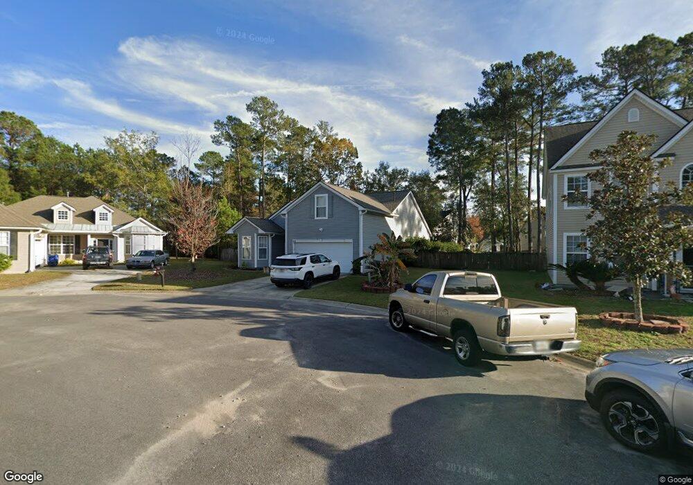
4816 Hortonrest Ct Summerville, SC 29485
Estimated Value: $406,000 - $457,000
4
Beds
2
Baths
2,270
Sq Ft
$187/Sq Ft
Est. Value
About This Home
This home is located at 4816 Hortonrest Ct, Summerville, SC 29485 and is currently estimated at $424,337, approximately $186 per square foot. 4816 Hortonrest Ct is a home located in Dorchester County with nearby schools including Fort Dorchester Elementary School, Oakbrook Middle School, and Fort Dorchester High School.
Ownership History
Date
Name
Owned For
Owner Type
Purchase Details
Closed on
Nov 26, 2014
Sold by
Miner Eric T and Miner Patricia E
Bought by
Oxendine James and Oxendine Mary
Current Estimated Value
Home Financials for this Owner
Home Financials are based on the most recent Mortgage that was taken out on this home.
Original Mortgage
$185,250
Interest Rate
4.02%
Mortgage Type
New Conventional
Purchase Details
Closed on
Nov 14, 2011
Sold by
Hawes Maureen E
Bought by
Miner Patricia E and Miner Eric T
Home Financials for this Owner
Home Financials are based on the most recent Mortgage that was taken out on this home.
Original Mortgage
$155,918
Interest Rate
3.75%
Mortgage Type
FHA
Purchase Details
Closed on
Oct 27, 2004
Sold by
D R Horton Inc
Bought by
Hawes Maureen E
Create a Home Valuation Report for This Property
The Home Valuation Report is an in-depth analysis detailing your home's value as well as a comparison with similar homes in the area
Home Values in the Area
Average Home Value in this Area
Purchase History
| Date | Buyer | Sale Price | Title Company |
|---|---|---|---|
| Oxendine James | $195,000 | -- | |
| Miner Patricia E | $162,500 | -- | |
| Hawes Maureen E | $198,365 | -- |
Source: Public Records
Mortgage History
| Date | Status | Borrower | Loan Amount |
|---|---|---|---|
| Previous Owner | Oxendine James | $185,250 | |
| Previous Owner | Miner Patricia E | $155,918 |
Source: Public Records
Tax History Compared to Growth
Tax History
| Year | Tax Paid | Tax Assessment Tax Assessment Total Assessment is a certain percentage of the fair market value that is determined by local assessors to be the total taxable value of land and additions on the property. | Land | Improvement |
|---|---|---|---|---|
| 2024 | $2,601 | $15,352 | $3,800 | $11,552 |
| 2023 | $2,601 | $14,872 | $3,000 | $11,872 |
| 2022 | $2,305 | $8,880 | $2,300 | $6,580 |
| 2021 | $2,305 | $8,880 | $2,300 | $6,580 |
| 2020 | $5,816 | $7,720 | $2,000 | $5,720 |
| 2019 | $2,183 | $7,720 | $2,000 | $5,720 |
| 2018 | $1,934 | $7,720 | $2,000 | $5,720 |
| 2017 | $1,874 | $7,720 | $2,000 | $5,720 |
| 2016 | $1,874 | $7,720 | $2,000 | $5,720 |
| 2015 | $1,870 | $11,580 | $3,000 | $8,580 |
| 2014 | -- | $186,500 | $0 | $0 |
| 2013 | -- | $7,460 | $0 | $0 |
Source: Public Records
Map
Nearby Homes
- 9306 Ayscough Rd
- 4824 Willow Brook Ln
- 9122 Maple Grove Dr
- 9126 Maple Grove Dr
- 9176 Maple Grove Dr
- 9443 Harroway Rd
- 4879 Carnoustie Ct
- 4869 Law Blvd
- 9032 Pickett Fence Ln
- 8849 Kellum Dr
- 9394 Harroway Rd
- 9049 Pickett Fence Ln
- 4816 W Red Maple Cir
- 9232 Ayscough Rd
- 4840 Oak Leaf Rd
- 4901 Tangier Place
- 2000 Buttercup Way
- 1000 Buttercup Way
- 8942 N Red Maple Cir
- 9041 Fieldstone Trace
- 4820 Hortonrest Ct
- 4809 Cimmeron Ct
- 4812 Hortonrest Ct
- 4805 Cimmeron Ct
- 4824 Hortonrest Ct
- 4808 Hortonrest Ct
- 4812 Cimmeron Ct
- 9080 Maple Grove Dr
- 9082 Maple Grove Dr
- 9084 Maple Grove Dr
- 9078 Maple Grove Dr
- 9086 Maple Grove Dr
- 9076 Maple Grove Dr
- 9074 Maple Grove Dr
- 9088 Maple Grove Dr
- 4804 Hortonrest Ct
- 9072 Maple Grove Dr
- 9090 Maple Grove Dr Unit 39
- 9090 Maple Grove Dr
- 9323 Ayscough Rd