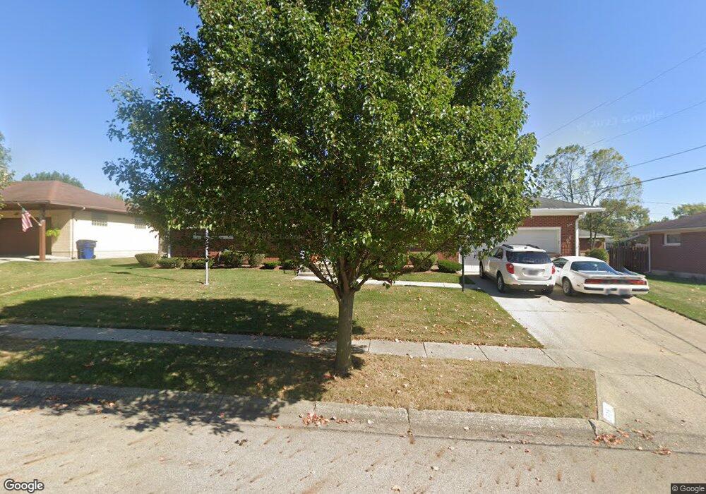
4816 Mesa Ln Springfield, OH 45503
Estimated Value: $222,170 - $247,000
3
Beds
2
Baths
1,269
Sq Ft
$184/Sq Ft
Est. Value
About This Home
This home is located at 4816 Mesa Ln, Springfield, OH 45503 and is currently estimated at $233,293, approximately $183 per square foot. 4816 Mesa Ln is a home located in Clark County with nearby schools including Northridge Elementary School, Kenton Ridge Middle & High School, and Emmanuel Christian Academy.
Ownership History
Date
Name
Owned For
Owner Type
Purchase Details
Closed on
Aug 29, 1995
Sold by
Dorothy M Peachey Est
Bought by
Storts Jerry L and Storts Nancy
Current Estimated Value
Home Financials for this Owner
Home Financials are based on the most recent Mortgage that was taken out on this home.
Original Mortgage
$80,750
Interest Rate
7.43%
Mortgage Type
New Conventional
Purchase Details
Closed on
Oct 1, 1980
Create a Home Valuation Report for This Property
The Home Valuation Report is an in-depth analysis detailing your home's value as well as a comparison with similar homes in the area
Home Values in the Area
Average Home Value in this Area
Purchase History
| Date | Buyer | Sale Price | Title Company |
|---|---|---|---|
| Storts Jerry L | $85,000 | -- | |
| -- | -- | -- |
Source: Public Records
Mortgage History
| Date | Status | Borrower | Loan Amount |
|---|---|---|---|
| Closed | Storts Jerry L | $80,750 |
Source: Public Records
Tax History
| Year | Tax Paid | Tax Assessment Tax Assessment Total Assessment is a certain percentage of the fair market value that is determined by local assessors to be the total taxable value of land and additions on the property. | Land | Improvement |
|---|---|---|---|---|
| 2025 | $2,203 | $71,320 | $16,860 | $54,460 |
| 2024 | $2,131 | $50,390 | $11,280 | $39,110 |
| 2023 | $2,131 | $50,390 | $11,280 | $39,110 |
| 2022 | $2,139 | $50,390 | $11,280 | $39,110 |
| 2021 | $2,275 | $45,430 | $8,950 | $36,480 |
| 2020 | $2,277 | $45,430 | $8,950 | $36,480 |
| 2019 | $2,321 | $45,430 | $8,950 | $36,480 |
| 2018 | $2,047 | $38,470 | $8,030 | $30,440 |
| 2017 | $1,754 | $39,103 | $8,026 | $31,077 |
| 2016 | $1,742 | $39,103 | $8,026 | $31,077 |
| 2015 | $1,773 | $37,059 | $7,718 | $29,341 |
| 2014 | $1,773 | $37,059 | $7,718 | $29,341 |
| 2013 | $1,732 | $37,059 | $7,718 | $29,341 |
Source: Public Records
Map
Nearby Homes
- 1709 Thomas Dr
- 4652 Reno Ln Unit 15
- 4446 Ridgewood Rd E Unit 3
- 4741 Cullen Ave
- 4256 Midfield St Unit 9
- 5564 Ridgewood Rd E Unit 7
- 1707 Berwick Dr
- 1033 Westmont Cir
- 5564 Ridgewood Rd W
- 1836 Dunseth Ln
- 4343 Burchill St
- 862 Brendle Trace Unit 20
- 5722 Victorian Way Unit 31
- 4500 Bosart Rd
- Pendleton Plan at
- Holcombe Plan at
- Newcastle Plan at
- Chatham Plan at
- 3969 Covington Dr Unit 3969
- 4028 Ryland Dr Unit 4028
- 4808 Mesa Ln
- 4824 Mesa Ln
- 4811 Tulane Rd
- 4803 Tulane Rd
- 4819 Tulane Rd
- 4817 Mesa Ln
- 4832 Mesa Ln
- 4809 Mesa Ln
- 4737 Tulane Rd
- 4827 Tulane Rd
- 4801 Mesa Ln
- 4730 Mesa Ln
- 1731 Merrydale Rd
- 4818 Merrimont Ave
- 4810 Tulane Rd
- 4729 Tulane Rd
- 4810 Merrimont Ave
- 4826 Merrimont Ave
- 1739 Merrydale Rd
- 4818 Tulane Rd
Your Personal Tour Guide
Ask me questions while you tour the home.