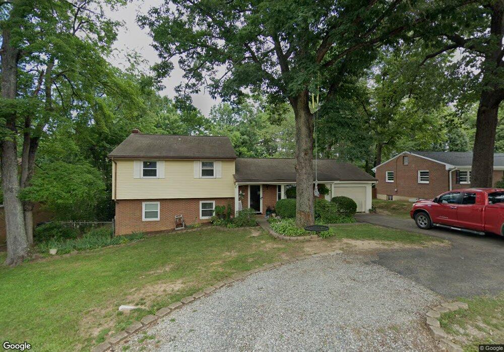
4817 Lytham Dr SW Roanoke, VA 24018
Greater Deyerle NeighborhoodEstimated Value: $258,000 - $286,000
3
Beds
2
Baths
1,230
Sq Ft
$221/Sq Ft
Est. Value
About This Home
This home is located at 4817 Lytham Dr SW, Roanoke, VA 24018 and is currently estimated at $271,706, approximately $220 per square foot. 4817 Lytham Dr SW is a home located in Roanoke City with nearby schools including Grandin Court Elementary School, Woodrow Wilson Middle School, and Patrick Henry High School.
Ownership History
Date
Name
Owned For
Owner Type
Purchase Details
Closed on
Jul 21, 2006
Sold by
Mcpeak Jason A and Mcpeak Lara C
Bought by
Mcpeak Jason A
Current Estimated Value
Home Financials for this Owner
Home Financials are based on the most recent Mortgage that was taken out on this home.
Original Mortgage
$132,000
Interest Rate
6.33%
Mortgage Type
New Conventional
Create a Home Valuation Report for This Property
The Home Valuation Report is an in-depth analysis detailing your home's value as well as a comparison with similar homes in the area
Home Values in the Area
Average Home Value in this Area
Purchase History
| Date | Buyer | Sale Price | Title Company |
|---|---|---|---|
| Mcpeak Jason A | -- | None Available |
Source: Public Records
Mortgage History
| Date | Status | Borrower | Loan Amount |
|---|---|---|---|
| Closed | Mcpeak Jason A | $60,000 | |
| Previous Owner | Mcpeak Jason A | $132,000 |
Source: Public Records
Tax History Compared to Growth
Tax History
| Year | Tax Paid | Tax Assessment Tax Assessment Total Assessment is a certain percentage of the fair market value that is determined by local assessors to be the total taxable value of land and additions on the property. | Land | Improvement |
|---|---|---|---|---|
| 2025 | $3,201 | $242,400 | $51,800 | $190,600 |
| 2024 | $3,201 | $222,900 | $43,200 | $179,700 |
| 2023 | $2,926 | $190,200 | $38,300 | $151,900 |
| 2022 | $2,169 | $162,600 | $31,900 | $130,700 |
| 2021 | $1,949 | $145,500 | $29,200 | $116,300 |
| 2020 | $1,936 | $145,500 | $29,200 | $116,300 |
| 2019 | $1,833 | $137,100 | $29,200 | $107,900 |
| 2018 | $1,819 | $135,900 | $29,200 | $106,700 |
| 2017 | $1,702 | $134,200 | $29,200 | $105,000 |
| 2016 | $1,702 | $134,200 | $29,200 | $105,000 |
| 2015 | $1,632 | $135,600 | $29,200 | $106,400 |
| 2014 | $1,632 | $135,600 | $29,200 | $106,400 |
Source: Public Records
Map
Nearby Homes
- 4931 Keithwood Dr SW
- 5032 Bruceton Rd SW
- 4715 Wembley Place SW
- 4420 Belford St SW
- 4732 Wembley Place SW
- 4445 Laurelwood Dr SW
- 4314 Belford St SW
- 4622 Grandin Rd SW
- 1926 Hope Rd SW
- 4631 Heather Dr SW Unit 209
- 4514 Grandin Rd SW Unit & 4516
- 4510 Grandin Rd SW Unit & 4512
- 4409 Greenlace Cir SW
- 4725 Glen Heather Cir
- 0 Hathaway Dr Unit 914147
- 2014 Wynmere Dr
- 5419 Warwood Dr
- 5230 Sugar Loaf Dr
- 5668 Club Ln
- 5835 Lakemont Dr
- 4825 Lytham Dr SW
- 4809 Lytham Dr SW
- 4801 Lytham Dr SW
- 1748 Driftwood Ln SW
- 4812 Lytham Dr SW
- 4820 Lytham Dr SW
- 4804 Lytham Dr SW
- 4566 Royal Oak Dr SW
- 4715 Belford St SW
- 4828 Lytham Dr SW
- 1763 Driftwood Ln SW
- 1755 Driftwood Ln SW
- 4709 Belford St SW
- 4556 Royal Oak Dr SW
- 1815 Lytham Dr SW
- 4819 Norwood St SW
- 1747 Driftwood Ln SW
- 4801 Norwood St SW
- 4829 Norwood St SW
- 4765 Norwood St SW