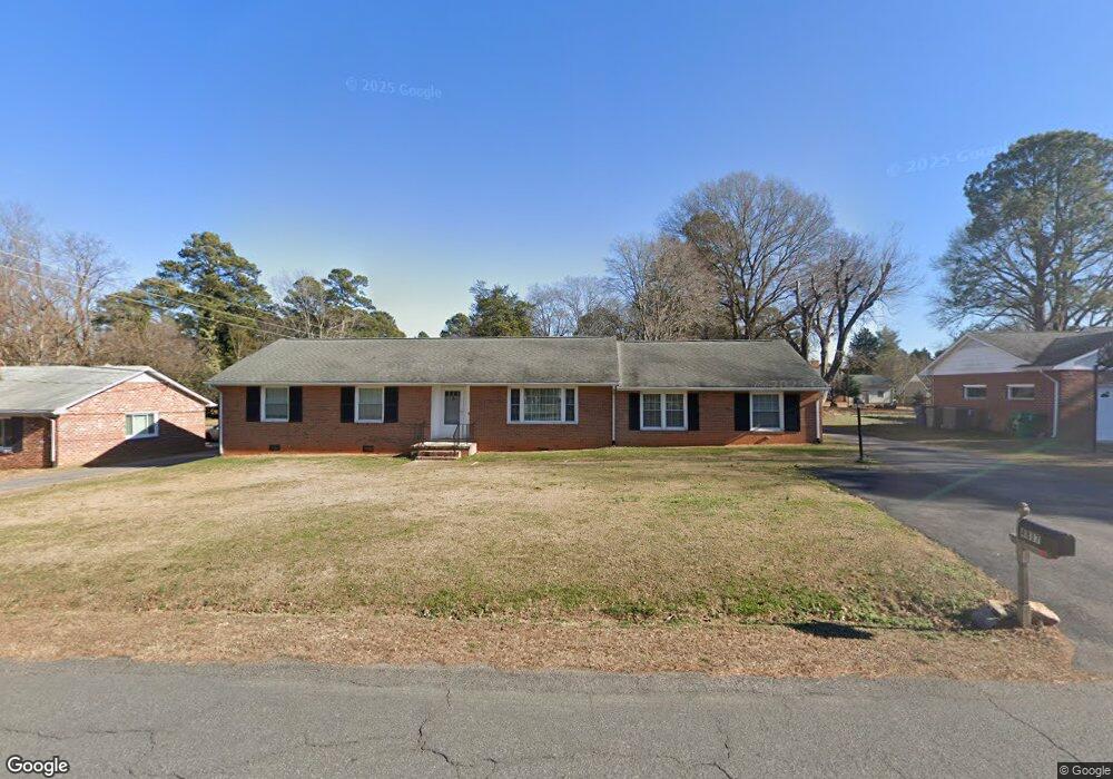
4817 Selwood Rd North Chesterfield, VA 23234
Estimated Value: $319,000 - $346,386
3
Beds
2
Baths
1,851
Sq Ft
$181/Sq Ft
Est. Value
About This Home
This home is located at 4817 Selwood Rd, North Chesterfield, VA 23234 and is currently estimated at $334,347, approximately $180 per square foot. 4817 Selwood Rd is a home located in Chesterfield County with nearby schools including Falling Creek Elementary School, Falling Creek Middle, and Meadowbrook High School.
Ownership History
Date
Name
Owned For
Owner Type
Purchase Details
Closed on
Mar 29, 2004
Sold by
Payne Edwin
Bought by
Weiner David
Current Estimated Value
Home Financials for this Owner
Home Financials are based on the most recent Mortgage that was taken out on this home.
Original Mortgage
$139,175
Outstanding Balance
$65,037
Interest Rate
5.56%
Mortgage Type
New Conventional
Estimated Equity
$269,310
Create a Home Valuation Report for This Property
The Home Valuation Report is an in-depth analysis detailing your home's value as well as a comparison with similar homes in the area
Home Values in the Area
Average Home Value in this Area
Purchase History
| Date | Buyer | Sale Price | Title Company |
|---|---|---|---|
| Weiner David | $139,175 | -- |
Source: Public Records
Mortgage History
| Date | Status | Borrower | Loan Amount |
|---|---|---|---|
| Open | Weiner David | $139,175 |
Source: Public Records
Tax History Compared to Growth
Tax History
| Year | Tax Paid | Tax Assessment Tax Assessment Total Assessment is a certain percentage of the fair market value that is determined by local assessors to be the total taxable value of land and additions on the property. | Land | Improvement |
|---|---|---|---|---|
| 2025 | $2,597 | $289,000 | $65,000 | $224,000 |
| 2024 | $2,597 | $265,900 | $65,000 | $200,900 |
| 2023 | $2,544 | $279,600 | $65,000 | $214,600 |
| 2022 | $2,242 | $243,700 | $62,000 | $181,700 |
| 2021 | $2,137 | $218,000 | $60,000 | $158,000 |
| 2020 | $1,910 | $201,100 | $59,000 | $142,100 |
| 2019 | $1,841 | $193,800 | $58,000 | $135,800 |
| 2018 | $1,771 | $186,400 | $58,000 | $128,400 |
| 2017 | $1,705 | $177,600 | $58,000 | $119,600 |
| 2016 | $1,538 | $160,200 | $48,000 | $112,200 |
| 2015 | $1,461 | $149,600 | $48,000 | $101,600 |
| 2014 | $1,426 | $145,900 | $48,000 | $97,900 |
Source: Public Records
Map
Nearby Homes
- 4212 E Prestonwood Ave
- 5225 S Prestonwood Ave
- 5247 S Prestonwood Ave
- 4317 Grantlake Rd
- 5310 Lingle Ln
- 7313 Parasol Ct
- 7300 Dunharrow Trace
- 3409 Marwick Ln
- 2900 Krouse St
- 3813 Kinalin Ln
- 7306 Dunharrow Trace
- 6508 Carters Walk Ln
- 3829 Kinalin Ln
- 3417 Marwick Place
- 3425 Marwick Place
- 7301 Parasol Ct
- 4221 Reservoir Ln
- 4827 Bonnie Brae Rd
- 3636 Monza Dr
- 4368 Kenmare Ln
- 4825 Selwood Rd
- 4809 Selwood Rd
- 4808 Whitestone Dr
- 4800 Whitestone Dr
- 4835 Selwood Rd
- 4400 Adelaide Ave
- 4816 Whitestone Dr
- 4801 Selwood Rd
- 4401 Shoremeade Rd
- 4732 Whitestone Dr
- 4824 Whitestone Dr
- 4901 Selwood Rd
- 4408 Adelaide Ave
- 4717 Selwood Rd
- 4407 Shoremeade Rd
- 4401 Adelaide Ave
- 4724 Whitestone Dr
- 4801 Whitestone Dr
- 4909 Selwood Rd
- 4416 Adelaide Ave