4817 Snead Island Rd Palmetto, FL 34221
Estimated Value: $1,565,000 - $2,289,000
4
Beds
5
Baths
5,296
Sq Ft
$371/Sq Ft
Est. Value
About This Home
This home is located at 4817 Snead Island Rd, Palmetto, FL 34221 and is currently estimated at $1,966,021, approximately $371 per square foot. 4817 Snead Island Rd is a home located in Manatee County with nearby schools including Palmetto Elementary School, Palmetto High School, and Palmetto Charter School.
Ownership History
Date
Name
Owned For
Owner Type
Purchase Details
Closed on
Feb 2, 2016
Sold by
Strickland Peter B and Strickland Belinda S
Bought by
Strickland Peter B and Stricklan Belinda
Current Estimated Value
Purchase Details
Closed on
Dec 9, 2013
Sold by
Boast Joanne Deans
Bought by
Strickland Peter B and Strickland Belinda S
Home Financials for this Owner
Home Financials are based on the most recent Mortgage that was taken out on this home.
Original Mortgage
$743,025
Outstanding Balance
$521,854
Interest Rate
2.75%
Mortgage Type
Adjustable Rate Mortgage/ARM
Estimated Equity
$1,444,167
Create a Home Valuation Report for This Property
The Home Valuation Report is an in-depth analysis detailing your home's value as well as a comparison with similar homes in the area
Home Values in the Area
Average Home Value in this Area
Purchase History
| Date | Buyer | Sale Price | Title Company |
|---|---|---|---|
| Strickland Peter B | -- | Attorney | |
| Strickland Peter B | $1,061,500 | Attorney |
Source: Public Records
Mortgage History
| Date | Status | Borrower | Loan Amount |
|---|---|---|---|
| Open | Strickland Peter B | $743,025 |
Source: Public Records
Tax History Compared to Growth
Tax History
| Year | Tax Paid | Tax Assessment Tax Assessment Total Assessment is a certain percentage of the fair market value that is determined by local assessors to be the total taxable value of land and additions on the property. | Land | Improvement |
|---|---|---|---|---|
| 2025 | $14,043 | $1,101,099 | -- | -- |
| 2024 | $14,043 | $1,070,067 | -- | -- |
| 2023 | $13,945 | $1,038,900 | $0 | $0 |
| 2022 | $13,636 | $1,008,641 | $0 | $0 |
| 2021 | $13,172 | $979,263 | $0 | $0 |
| 2020 | $13,629 | $965,743 | $333,125 | $632,618 |
| 2019 | $14,286 | $999,902 | $260,500 | $739,402 |
| 2018 | $14,283 | $986,435 | $260,500 | $725,935 |
| 2017 | $13,504 | $981,944 | $0 | $0 |
| 2016 | $13,528 | $961,747 | $0 | $0 |
| 2015 | $14,810 | $955,062 | $0 | $0 |
| 2014 | $14,810 | $980,883 | $0 | $0 |
| 2013 | $9,605 | $661,703 | $0 | $0 |
Source: Public Records
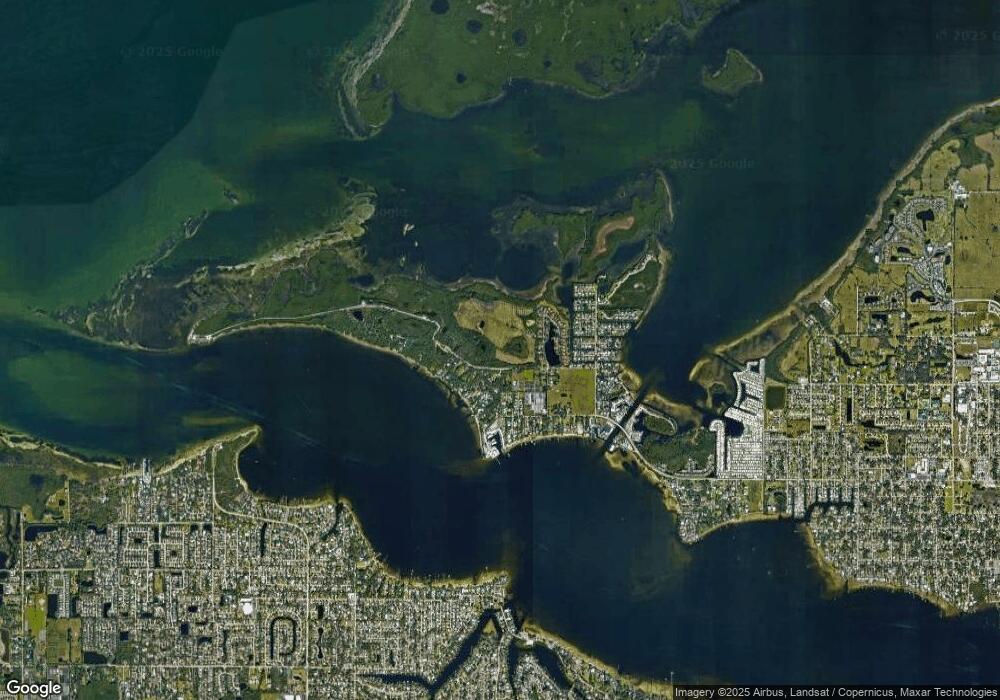
Map
Nearby Homes
- 5203 15th St W
- 4321 14th Street Cir
- 1408 43rd Avenue Dr W
- 4506 17th St W
- 4517 Pinfish Ln
- 1528 43rd Avenue Dr W
- 4406 17th St W
- 4316 Caloosa Dr
- 4361 Pompano Ln
- 4385 Pompano Ln
- 4218 Pompano Ln
- 4411 Dolphin Ln
- 3601 10th Ln W
- 4109 Cobia Ct
- 4417 Dolphin Ln
- 4412 Dolphin Ln
- 3409 10th Ln W
- 824 35th Avenue Dr W
- 3304 7th Street Ct W
- 196 Bimini Dr
- 4817 Snead Island Rd
- 4817 13th St W
- 4903 13th St W
- 4813 13th St W
- 4907 13th St W
- 1205 48th Ave W
- 4815 13th St W
- 4807 13th St W
- 4911 13th St W
- 1206 48th Ave W
- 4715 13th St W
- 5007 13th St W
- 4709 13th St W
- 5005 13th St W
- 5021 13th St W
- 4707 13th St W
- 1304 50th Avenue Dr W
- 4707 Snead Island Rd
- 1317 50th Avenue Dr W
- 1317 50th Avenue Dr W