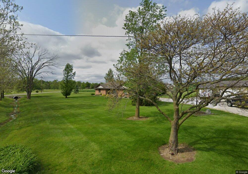
4817 Thompson Rd Fort Wayne, IN 46816
Estimated Value: $284,000 - $439,000
3
Beds
3
Baths
3,286
Sq Ft
$101/Sq Ft
Est. Value
About This Home
This home is located at 4817 Thompson Rd, Fort Wayne, IN 46816 and is currently estimated at $331,820, approximately $100 per square foot. 4817 Thompson Rd is a home located in Allen County with nearby schools including Heritage Junior/Senior High School, St. Joseph Hessen Cassel School, and Martin Luther King Montessori School.
Ownership History
Date
Name
Owned For
Owner Type
Purchase Details
Closed on
May 6, 2011
Sold by
Pegg Jennifer
Bought by
Pegg Ricky A and Pegg Jennifer
Current Estimated Value
Home Financials for this Owner
Home Financials are based on the most recent Mortgage that was taken out on this home.
Original Mortgage
$124,164
Outstanding Balance
$4,621
Interest Rate
4.25%
Mortgage Type
FHA
Estimated Equity
$327,199
Purchase Details
Closed on
Aug 22, 2003
Sold by
Griggs James H
Bought by
Pegg Rick and Pegg Jennifer
Home Financials for this Owner
Home Financials are based on the most recent Mortgage that was taken out on this home.
Original Mortgage
$121,600
Interest Rate
5.69%
Mortgage Type
Purchase Money Mortgage
Create a Home Valuation Report for This Property
The Home Valuation Report is an in-depth analysis detailing your home's value as well as a comparison with similar homes in the area
Purchase History
| Date | Buyer | Sale Price | Title Company |
|---|---|---|---|
| Pegg Ricky A | -- | Lawyers Title | |
| Pegg Rick | -- | Three Rivers Title Co Inc |
Source: Public Records
Mortgage History
| Date | Status | Borrower | Loan Amount |
|---|---|---|---|
| Open | Pegg Ricky A | $124,164 | |
| Closed | Pegg Rick | $121,600 |
Source: Public Records
Tax History
| Year | Tax Paid | Tax Assessment Tax Assessment Total Assessment is a certain percentage of the fair market value that is determined by local assessors to be the total taxable value of land and additions on the property. | Land | Improvement |
|---|---|---|---|---|
| 2025 | $1,809 | $234,000 | $37,400 | $196,600 |
| 2024 | $1,926 | $226,500 | $37,400 | $189,100 |
| 2023 | $1,926 | $223,700 | $33,700 | $190,000 |
| 2022 | $1,253 | $193,400 | $33,700 | $159,700 |
| 2021 | $978 | $149,200 | $33,700 | $115,500 |
| 2020 | $979 | $149,200 | $33,700 | $115,500 |
| 2019 | $2,052 | $147,600 | $33,700 | $113,900 |
| 2018 | $1,661 | $151,200 | $33,700 | $117,500 |
| 2017 | $2,127 | $136,400 | $33,700 | $102,700 |
| 2016 | $1,649 | $135,400 | $33,700 | $101,700 |
| 2014 | $995 | $135,400 | $33,700 | $101,700 |
| 2013 | $1,011 | $134,300 | $33,700 | $100,600 |
Source: Public Records
Map
Nearby Homes
- 10630 Marion Center Rd
- 10630 & 10640 Marion Center Rd
- 10640 Marion Center Rd
- 7053 Starks Blvd
- 7231 Treverton Dr
- 3516 Debeney Dr
- 7212 Treverton Dr
- 7398 Starks Blvd
- 7354 Starks Blvd
- 7327 Starks (Lot 41) Blvd
- 7264 Blvd Unit Lot 12
- 7230 Starks Blvd
- 7205 Starks Blvd
- 7208 Starks Blvd
- 7183 Starks Blvd
- 4020 Lynfield Dr
- 7903 Chinchilla Ln Unit 26
- 7075 Starks Blvd Unit Lot 30
- 6715 Prescott Ct
- 7845 Chinchilla Ln
- 4833 Thompson Rd
- 10421 Trentman Rd
- 000 Trentman Rd
- 4719 Thompson Rd
- 4915 Thompson Rd
- 10435 Trentman Rd
- 4931 Thompson Rd
- 10400 Trentman Rd
- 4621 Thompson Rd
- 5011 Thompson Rd
- 10519 Trentman Rd
- 10003 Trentman Rd
- 10130 Trentman Rd
- 5027 Thompson Rd
- 10102 Trentman Rd
- 11210 Trentman Rd
- 10607 Trentman Rd
- 4531 Thompson Rd
- 5109 Thompson Rd
- 4535 Thompson Rd
Your Personal Tour Guide
Ask me questions while you tour the home.