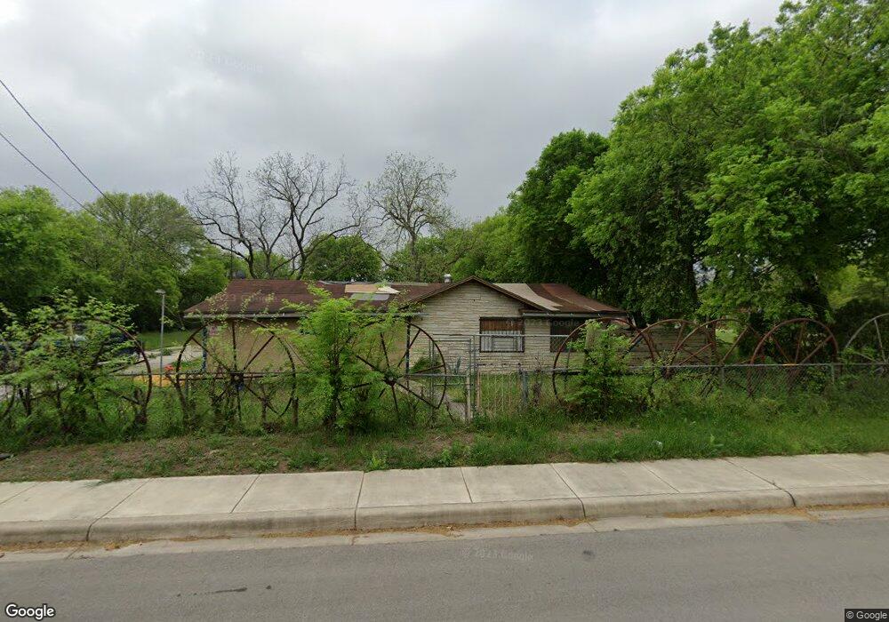
4818 Alfred Dr San Antonio, TX 78220
Southeast Side NeighborhoodEstimated Value: $142,882 - $279,000
3
Beds
1
Bath
1,552
Sq Ft
$117/Sq Ft
Est. Value
About This Home
This home is located at 4818 Alfred Dr, San Antonio, TX 78220 and is currently estimated at $181,721, approximately $117 per square foot. 4818 Alfred Dr is a home located in Bexar County with nearby schools including Hirsch Elementary School, Sam Houston High School, and Southwest Preparatory School.
Ownership History
Date
Name
Owned For
Owner Type
Purchase Details
Closed on
Feb 9, 2024
Sold by
Bexar County
Bought by
Perkins Samuel C
Current Estimated Value
Purchase Details
Closed on
May 1, 2009
Sold by
Perkins Samuel Charles
Bought by
Perkins Samika Rochell
Purchase Details
Closed on
Apr 29, 2009
Sold by
Perkins Samuel Charles
Bought by
Perkins Samika Rochell
Purchase Details
Closed on
Nov 25, 2008
Sold by
Perkins Samuel Charles
Bought by
Perkins Samika Rochell and Houston Eshele
Purchase Details
Closed on
Jun 16, 2008
Sold by
Perkins Trishawn U
Bought by
Perkins Samuel C
Purchase Details
Closed on
Jun 6, 2008
Sold by
Perkins Samuel C
Bought by
Perkins Trishawn U
Purchase Details
Closed on
Apr 17, 2008
Sold by
Rodela Oralia L
Bought by
Perkins Samuel C
Create a Home Valuation Report for This Property
The Home Valuation Report is an in-depth analysis detailing your home's value as well as a comparison with similar homes in the area
Home Values in the Area
Average Home Value in this Area
Purchase History
| Date | Buyer | Sale Price | Title Company |
|---|---|---|---|
| Perkins Samuel C | $47,000 | None Listed On Document | |
| Perkins Samika Rochell | -- | None Available | |
| Perkins Samika Rochell | -- | None Available | |
| Perkins Samika Rochell | -- | None Available | |
| Perkins Samuel C | -- | None Available | |
| Perkins Trishawn U | -- | None Available | |
| Perkins Samuel C | -- | None Available |
Source: Public Records
Tax History Compared to Growth
Tax History
| Year | Tax Paid | Tax Assessment Tax Assessment Total Assessment is a certain percentage of the fair market value that is determined by local assessors to be the total taxable value of land and additions on the property. | Land | Improvement |
|---|---|---|---|---|
| 2025 | $2,562 | $105,000 | $100,100 | $4,900 |
| 2024 | $2,562 | $105,000 | $100,100 | $4,900 |
| 2023 | $4,457 | $178,520 | $100,100 | $78,420 |
| 2022 | $4,127 | $152,310 | $79,800 | $72,510 |
| 2021 | $2,922 | $104,570 | $50,400 | $54,170 |
| 2020 | $2,607 | $91,990 | $40,120 | $51,870 |
| 2019 | $2,497 | $87,120 | $37,250 | $49,870 |
| 2018 | $2,576 | $90,770 | $40,250 | $50,520 |
| 2017 | $2,414 | $85,530 | $40,250 | $45,280 |
| 2016 | $1,633 | $57,860 | $19,250 | $38,610 |
| 2015 | $1,475 | $57,380 | $19,250 | $38,130 |
| 2014 | $1,475 | $54,520 | $0 | $0 |
Source: Public Records
Map
Nearby Homes
- 510 Carol Crest St
- 4851 Alfred Dr
- 4631 Kay Ann Dr
- 4810 John Victor Dr
- 4614 Belinda Lee St
- 4610 Belinda Lee St
- 4823 John Victor Dr
- 4603 Lavender Ln
- 4607 Belinda Lee St
- 203 Lynhaven Dr
- 4534 Kay Ann Dr
- 4906 Frostwood Dr
- 302 Glenbrook
- 8532 Frostwood Dr
- 4842 Lord Rd
- 257 Glenoak Dr
- 4442 Lord Rd
- 4419 N Hein Rd
- 111 Zerrcliff Ln
- 318 Charcliff Dr
- 4834 Alfred Dr
- 4831 Alfred Dr
- 4811 Alfred Dr
- 4802 Alfred Dr
- 4846 Alfred Dr
- 4803 Alfred Dr
- 4847 Alfred Dr
- 4822 Billy Dr
- 4810 Billy Dr
- 4826 Billy Dr
- 4830 Billy Dr
- 4854 Alfred Dr
- 4834 Billy Dr
- 415 Flora Mae Dr
- 534 Carol Crest St
- 530 Carol Crest St
- 538 Carol Crest St
- 526 Carol Crest St
- 522 Carol Crest St
- 411 Flora Mae Dr