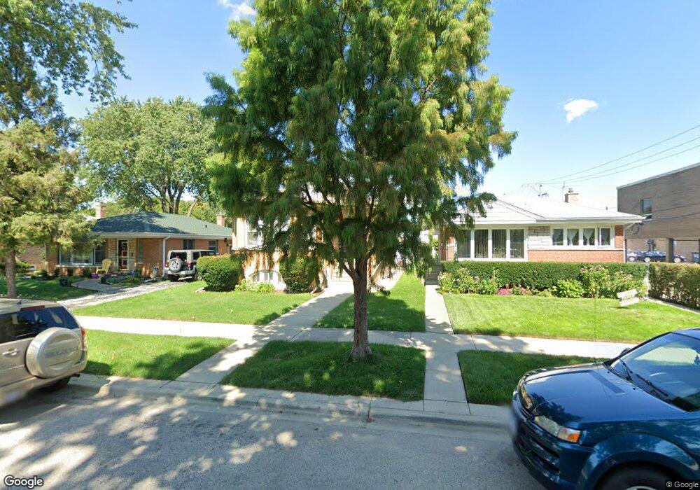
4818 Fargo Ave Skokie, IL 60077
Southwest Skokie NeighborhoodEstimated Value: $350,000 - $409,000
2
Beds
1
Bath
1,092
Sq Ft
$354/Sq Ft
Est. Value
About This Home
This home is located at 4818 Fargo Ave, Skokie, IL 60077 and is currently estimated at $386,997, approximately $354 per square foot. 4818 Fargo Ave is a home located in Cook County with nearby schools including Fairview South Elementary School, Niles West High School, and Cheder Lubavitch Hebrew Day School.
Ownership History
Date
Name
Owned For
Owner Type
Purchase Details
Closed on
Dec 13, 2004
Sold by
Tessner Elmer A
Bought by
Gerdnoi Sopa and Gerdnoi Narumon
Current Estimated Value
Home Financials for this Owner
Home Financials are based on the most recent Mortgage that was taken out on this home.
Original Mortgage
$256,000
Interest Rate
5.83%
Mortgage Type
New Conventional
Purchase Details
Closed on
Nov 21, 1997
Sold by
Tessner Elmer A and Tessner Charlotte G
Bought by
Tessner Elmer A and Tessner Trust
Create a Home Valuation Report for This Property
The Home Valuation Report is an in-depth analysis detailing your home's value as well as a comparison with similar homes in the area
Home Values in the Area
Average Home Value in this Area
Purchase History
| Date | Buyer | Sale Price | Title Company |
|---|---|---|---|
| Gerdnoi Sopa | $320,000 | Cti | |
| Tessner Elmer A | -- | -- |
Source: Public Records
Mortgage History
| Date | Status | Borrower | Loan Amount |
|---|---|---|---|
| Previous Owner | Gerdnoi Sopa | $256,000 | |
| Closed | Gerdnoi Sopa | $32,000 |
Source: Public Records
Tax History Compared to Growth
Tax History
| Year | Tax Paid | Tax Assessment Tax Assessment Total Assessment is a certain percentage of the fair market value that is determined by local assessors to be the total taxable value of land and additions on the property. | Land | Improvement |
|---|---|---|---|---|
| 2024 | $3,620 | $29,009 | $5,859 | $23,150 |
| 2023 | $3,625 | $29,009 | $5,859 | $23,150 |
| 2022 | $3,625 | $29,009 | $5,859 | $23,150 |
| 2021 | $3,989 | $24,172 | $4,123 | $20,049 |
| 2020 | $3,549 | $24,172 | $4,123 | $20,049 |
| 2019 | $3,596 | $29,227 | $4,123 | $25,104 |
| 2018 | $3,835 | $22,046 | $3,580 | $18,466 |
| 2017 | $4,763 | $22,046 | $3,580 | $18,466 |
| 2016 | $4,735 | $22,046 | $3,580 | $18,466 |
| 2015 | $4,058 | $18,164 | $3,038 | $15,126 |
| 2014 | $3,935 | $18,164 | $3,038 | $15,126 |
| 2013 | $3,501 | $18,164 | $3,038 | $15,126 |
Source: Public Records
Map
Nearby Homes
- 4939 Fargo Ave
- 4944 Jarvis Ave
- 4838 Howard St Unit 401
- 4838 Howard St Unit 301
- 4858 W Chase Ave
- 8146 N Kilpatrick Ave Unit 1S
- 5037 Fargo Ave
- 7241 N Kilpatrick Ave
- 4931 Brummel St
- 7638 Knox Ave
- 7748 Lincoln Ave
- 7500 Laramie Ave
- 4907 Hull St
- 5153 Dobson St
- 7507 Frontage Rd
- 4856 Hull St
- 4906 Hull St
- 8030 N Kenton Ave Unit 2A
- 4545 W Touhy Ave Unit 511
- 4545 W Touhy Ave Unit 420
- 4814 Fargo Ave
- 4824 Fargo Ave
- 4828 Fargo Ave
- 4832 Fargo Ave
- 7434 Skokie Blvd
- 4819 Birchwood Ave
- 4819 Birchwood Ave
- 4823 Birchwood Ave
- 4836 Fargo Ave
- 4829 Birchwood Ave
- 4840 Fargo Ave
- 4840 Fargo Ave
- 4815 Fargo Ave
- 4823 Fargo Ave
- 4835 Birchwood Ave
- 4827 Fargo Ave
- 7450 Skokie Blvd
- 4831 Fargo Ave
- 4839 Birchwood Ave
- 4835 Fargo Ave