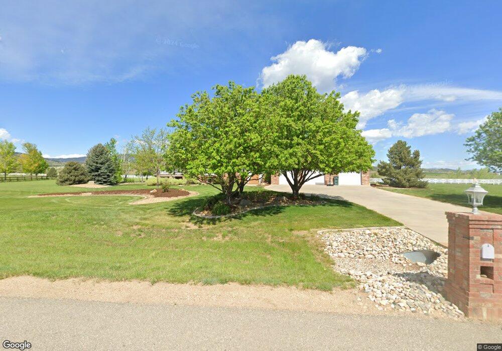
4818 Malibu Dr Berthoud, CO 80513
Estimated Value: $1,242,000 - $1,457,000
3
Beds
2
Baths
2,750
Sq Ft
$489/Sq Ft
Est. Value
About This Home
This home is located at 4818 Malibu Dr, Berthoud, CO 80513 and is currently estimated at $1,345,682, approximately $489 per square foot. 4818 Malibu Dr is a home located in Larimer County with nearby schools including Berthoud Elementary School, Turner Middle School, and Berthoud High School.
Ownership History
Date
Name
Owned For
Owner Type
Purchase Details
Closed on
Apr 22, 2005
Sold by
Conder S E P Steve
Bought by
Visger Sean L and Visger Michele J
Current Estimated Value
Home Financials for this Owner
Home Financials are based on the most recent Mortgage that was taken out on this home.
Original Mortgage
$637,500
Outstanding Balance
$317,590
Interest Rate
5.25%
Mortgage Type
Fannie Mae Freddie Mac
Estimated Equity
$1,028,092
Create a Home Valuation Report for This Property
The Home Valuation Report is an in-depth analysis detailing your home's value as well as a comparison with similar homes in the area
Home Values in the Area
Average Home Value in this Area
Purchase History
| Date | Buyer | Sale Price | Title Company |
|---|---|---|---|
| Visger Sean L | $850,000 | -- | |
| Conder S E P Steve | -- | -- |
Source: Public Records
Mortgage History
| Date | Status | Borrower | Loan Amount |
|---|---|---|---|
| Open | Visger Sean L | $637,500 | |
| Closed | Visger Sean L | $167,500 |
Source: Public Records
Tax History Compared to Growth
Tax History
| Year | Tax Paid | Tax Assessment Tax Assessment Total Assessment is a certain percentage of the fair market value that is determined by local assessors to be the total taxable value of land and additions on the property. | Land | Improvement |
|---|---|---|---|---|
| 2025 | $7,940 | $85,954 | $18,090 | $67,864 |
| 2024 | $7,705 | $85,954 | $18,090 | $67,864 |
| 2022 | $6,082 | $63,189 | $10,272 | $52,917 |
| 2021 | $6,251 | $65,008 | $10,568 | $54,440 |
| 2020 | $6,171 | $64,150 | $12,799 | $51,351 |
| 2019 | $6,090 | $64,150 | $12,799 | $51,351 |
| 2018 | $5,619 | $56,794 | $22,320 | $34,474 |
| 2017 | $4,970 | $56,794 | $22,320 | $34,474 |
| 2016 | $5,086 | $56,547 | $10,666 | $45,881 |
| 2015 | $5,056 | $56,550 | $10,670 | $45,880 |
| 2014 | $4,299 | $46,080 | $7,160 | $38,920 |
Source: Public Records
Map
Nearby Homes
- 871 N County Road 23e
- 4329 Malibu Dr
- 6502 & 6200 Kiva Ridge Dr
- 0 W County Road 8e Unit RECIR1018960
- 6319 Sedona Hills Dr
- 205 S County Road 23
- 5644 Kiva Ridge Dr
- 3520 W County Road 8
- 5306 Foothills Dr
- 3412 Erving Ct
- 2102 Shoreside Dr
- 3400 Erving Ct
- 2366 Shoreside Dr
- 4808 Beverly Dr
- 0 Beverly Dr
- 4253 Falcon Pointe Ct
- 4707 Lonetree Dr
- 5714 Bluff Ln
- 4260 S County Road 23
- 560 Talons Reach Run
- 4826 Malibu Dr
- 4819 Malibu Dr
- 4810 Malibu Dr
- 4834 Malibu Dr
- 4809 Malibu Dr
- 5054 Hulson Place
- 4802 Malibu Dr
- 4957 Malibu Dr
- 4803 Malibu Dr
- 4950 Malibu Dr
- 4973 Malibu Dr
- 4771 Malibu Dr
- 4977 Malibu Dr
- 4956 Malibu Dr
- 4962 Malibu Dr
- 5050 Hulson Place
- 4763 Malibu Dr
- 4981 Malibu Dr
- 5058 Hulson Place
- 4760 Malibu Dr