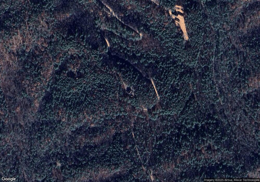
4818 Table Rock Mountain Rd Morganton, NC 28655
Estimated Value: $420,000 - $790,412
3
Beds
3
Baths
1,950
Sq Ft
$322/Sq Ft
Est. Value
About This Home
This home is located at 4818 Table Rock Mountain Rd, Morganton, NC 28655 and is currently estimated at $628,853, approximately $322 per square foot. 4818 Table Rock Mountain Rd is a home with nearby schools including Oak Hill Elementary School, Table Rock Middle School, and Freedom High School.
Ownership History
Date
Name
Owned For
Owner Type
Purchase Details
Closed on
Jun 7, 2017
Sold by
Peters Marsha C
Bought by
Mock Jason Arthur and Mock Lauren Ashleigh
Current Estimated Value
Home Financials for this Owner
Home Financials are based on the most recent Mortgage that was taken out on this home.
Original Mortgage
$328,000
Outstanding Balance
$275,877
Interest Rate
4.02%
Mortgage Type
Construction
Estimated Equity
$352,976
Create a Home Valuation Report for This Property
The Home Valuation Report is an in-depth analysis detailing your home's value as well as a comparison with similar homes in the area
Home Values in the Area
Average Home Value in this Area
Purchase History
| Date | Buyer | Sale Price | Title Company |
|---|---|---|---|
| Mock Jason Arthur | -- | Attorney |
Source: Public Records
Mortgage History
| Date | Status | Borrower | Loan Amount |
|---|---|---|---|
| Open | Mock Jason Arthur | $328,000 |
Source: Public Records
Tax History Compared to Growth
Tax History
| Year | Tax Paid | Tax Assessment Tax Assessment Total Assessment is a certain percentage of the fair market value that is determined by local assessors to be the total taxable value of land and additions on the property. | Land | Improvement |
|---|---|---|---|---|
| 2025 | $3,076 | $537,741 | $138,274 | $399,467 |
| 2024 | $3,099 | $537,741 | $138,274 | $399,467 |
| 2023 | $3,099 | $537,741 | $138,274 | $399,467 |
| 2022 | $2,840 | $396,857 | $122,728 | $274,129 |
| 2021 | $2,834 | $396,857 | $122,728 | $274,129 |
| 2020 | $2,830 | $396,857 | $122,728 | $274,129 |
| 2019 | $2,830 | $396,857 | $122,728 | $274,129 |
| 2018 | $682 | $98,182 | $98,182 | $0 |
| 2017 | $682 | $98,182 | $98,182 | $0 |
| 2016 | $835 | $122,728 | $122,728 | $0 |
| 2015 | $835 | $122,728 | $122,728 | $0 |
| 2014 | $835 | $122,728 | $122,728 | $0 |
| 2013 | $835 | $122,728 | $122,728 | $0 |
Source: Public Records
Map
Nearby Homes
- 4290 Black Bear Trail
- 3788 Fish Hatchery Rd
- 7376 Nc 181
- 3430 & 3390 Rose Creek Rd
- 2236 Sisue St
- 548 Wilderness Dr
- 55 Chickasaw Way Unit 3B
- 452 Wilderness Dr
- Lot 35A N Oakwood Dr Unit 35A
- Lot 34 N Oakwood Dr
- Lot 32G Sequoyah Cir Unit 32G
- V/L Chickasaw Way Unit 2B
- VL 23 G Sequoyah Cir Unit 23 G
- TBD Cherokee Trail
- 0 Oconee Dr
- 10 Sequoyah Cir
- Lot 49 Sunrise Path
- Lot 2F Seminole Path
- Lot 12/13B Quail Dr
- Lot 12 Deer Ridge Trail Unit 12
- 4825 Table Rock Mountain Rd
- 5780 Wild Turkey Way
- 5200 Wild Turkey Way
- 4965 Table Rock Mountain Rd
- 5155 Wild Turkey Way
- 4995 Old Table Rock Rd
- 4995 Table Rock Mountain Rd
- 4755 Table Rock Mountain Rd
- 4750 Trout Pond Ln
- 4716 Table Rock Mountain Rd
- 3750 Black Bear Trail
- 4563 Table Rock Mountain Rd
- 4587 Table Rock Mountain Rd
- 4548 Table Rock Mountain Rd
- 4320 Trout Pond Ln
- 4320 Trout Pond Ln
- 5995 Wild Turkey Way
- 4175 Trout Pond Ln
- 4420 Table Rock Mountain Rd
- VL Table Rock Mountain Rd
