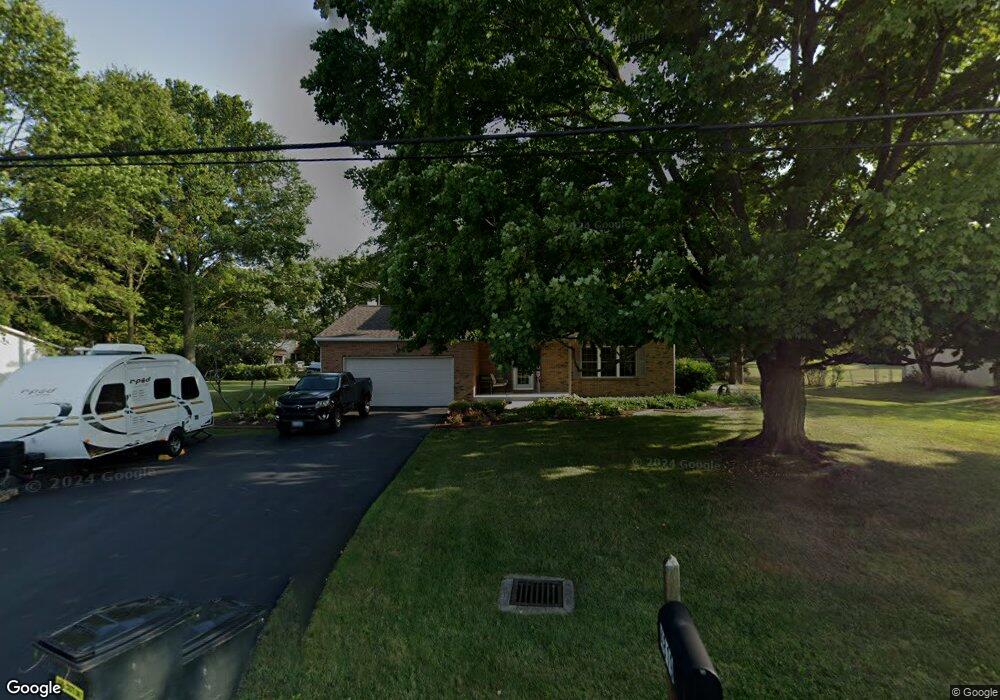
4819 Dellen Rd Groveport, OH 43125
Estimated Value: $335,000 - $414,000
3
Beds
3
Baths
1,988
Sq Ft
$181/Sq Ft
Est. Value
About This Home
This home is located at 4819 Dellen Rd, Groveport, OH 43125 and is currently estimated at $360,658, approximately $181 per square foot. 4819 Dellen Rd is a home located in Franklin County with nearby schools including Groveport Madison High School and Groveport Community School.
Ownership History
Date
Name
Owned For
Owner Type
Purchase Details
Closed on
Jun 26, 1997
Sold by
Holloway David R and Holloway Cindy L
Bought by
Hedges Steven T and Hedges Marcie A
Current Estimated Value
Home Financials for this Owner
Home Financials are based on the most recent Mortgage that was taken out on this home.
Original Mortgage
$100,000
Interest Rate
8%
Purchase Details
Closed on
Jan 1, 1986
Create a Home Valuation Report for This Property
The Home Valuation Report is an in-depth analysis detailing your home's value as well as a comparison with similar homes in the area
Home Values in the Area
Average Home Value in this Area
Purchase History
| Date | Buyer | Sale Price | Title Company |
|---|---|---|---|
| Hedges Steven T | $138,400 | -- | |
| -- | $76,900 | -- |
Source: Public Records
Mortgage History
| Date | Status | Borrower | Loan Amount |
|---|---|---|---|
| Previous Owner | Hedges Steven T | $100,000 |
Source: Public Records
Tax History Compared to Growth
Tax History
| Year | Tax Paid | Tax Assessment Tax Assessment Total Assessment is a certain percentage of the fair market value that is determined by local assessors to be the total taxable value of land and additions on the property. | Land | Improvement |
|---|---|---|---|---|
| 2024 | $4,910 | $101,860 | $20,550 | $81,310 |
| 2023 | $4,866 | $101,860 | $20,550 | $81,310 |
| 2022 | $4,337 | $72,210 | $15,720 | $56,490 |
| 2021 | $4,354 | $72,210 | $15,720 | $56,490 |
| 2020 | $4,364 | $72,210 | $15,720 | $56,490 |
| 2019 | $4,121 | $60,030 | $13,090 | $46,940 |
| 2018 | $2,072 | $60,030 | $13,090 | $46,940 |
| 2017 | $4,153 | $60,030 | $13,090 | $46,940 |
| 2016 | $4,631 | $60,730 | $11,130 | $49,600 |
| 2015 | $2,269 | $58,980 | $11,130 | $47,850 |
| 2014 | $4,269 | $58,980 | $11,130 | $47,850 |
| 2013 | $1,817 | $58,975 | $11,130 | $47,845 |
Source: Public Records
Map
Nearby Homes
- 7616 Richardson Rd
- 5273 Hayes Rd
- 7908 Richardson Rd
- 7495 Lithopolis Rd
- 7474 Groveport Rd
- 6065 Wilson Dr
- 525 Gender Rd
- 287 College St
- 7170 Seymour Ct
- 6172 Eagle Dr Unit 6172
- 6216 Meriden Ct
- 6185 Dietz Dr
- 135 Front St
- 0 Pontius Rd
- 250 Green Ave
- 963 Groveport Rd
- 199 Mohr Ave
- 6430 Rossmore Ln
- 5777 Ebright Rd
- 3515 Rohr Rd
- 4805 Dellen Rd
- 4837 Dellen Rd
- 4824 Johnanne Dr
- 4791 Dellen Rd
- 4857 Dellen Rd
- 4810 Johnanne Dr
- 4836 Johnanne Dr
- 4804 Johnanne Dr
- 4871 Dellen Rd
- 4848 Johnanne Dr
- 4700 Dellen Rd
- 4831 Johnanne Dr
- 4864 Johnanne Dr
- 4800 Johnanne Dr
- 4887 Dellen Rd
- 4849 Johnanne Dr
- 4816 Hayes Rd
- 4867 Johnanne Dr
- 4832 Hayes Rd
- 7240 Richardson Rd