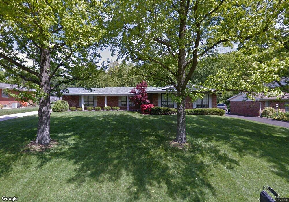
4819 Dorsie Dr Saint Louis, MO 63128
Estimated Value: $558,000 - $695,000
4
Beds
4
Baths
2,458
Sq Ft
$253/Sq Ft
Est. Value
About This Home
This home is located at 4819 Dorsie Dr, Saint Louis, MO 63128 and is currently estimated at $621,072, approximately $252 per square foot. 4819 Dorsie Dr is a home located in St. Louis County with nearby schools including Kennerly Elementary School, Sperreng Middle School, and Lindbergh High School.
Ownership History
Date
Name
Owned For
Owner Type
Purchase Details
Closed on
Jan 31, 2018
Sold by
Ruth S Haul Revocable Living Trust
Bought by
Radil Ryan Francis and Radil Nikolina Kozul
Current Estimated Value
Home Financials for this Owner
Home Financials are based on the most recent Mortgage that was taken out on this home.
Original Mortgage
$285,000
Outstanding Balance
$241,065
Interest Rate
3.94%
Mortgage Type
New Conventional
Estimated Equity
$380,007
Create a Home Valuation Report for This Property
The Home Valuation Report is an in-depth analysis detailing your home's value as well as a comparison with similar homes in the area
Home Values in the Area
Average Home Value in this Area
Purchase History
| Date | Buyer | Sale Price | Title Company |
|---|---|---|---|
| Radil Ryan Francis | $300,000 | Investors Title Co Clayton |
Source: Public Records
Mortgage History
| Date | Status | Borrower | Loan Amount |
|---|---|---|---|
| Open | Radil Ryan Francis | $285,000 |
Source: Public Records
Tax History Compared to Growth
Tax History
| Year | Tax Paid | Tax Assessment Tax Assessment Total Assessment is a certain percentage of the fair market value that is determined by local assessors to be the total taxable value of land and additions on the property. | Land | Improvement |
|---|---|---|---|---|
| 2025 | $6,631 | $129,980 | $28,500 | $101,480 |
| 2024 | $6,631 | $102,230 | $26,130 | $76,100 |
| 2023 | $6,615 | $102,230 | $26,130 | $76,100 |
| 2022 | $6,443 | $95,560 | $26,130 | $69,430 |
| 2021 | $6,214 | $95,560 | $26,130 | $69,430 |
| 2020 | $5,354 | $79,390 | $18,340 | $61,050 |
| 2019 | $5,340 | $79,390 | $18,340 | $61,050 |
| 2018 | $3,630 | $48,970 | $11,440 | $37,530 |
| 2017 | $3,591 | $48,970 | $11,440 | $37,530 |
| 2016 | $3,096 | $40,050 | $11,440 | $28,610 |
| 2015 | $3,049 | $40,050 | $11,440 | $28,610 |
| 2014 | $2,704 | $35,130 | $10,940 | $24,190 |
Source: Public Records
Map
Nearby Homes
- 4838 Dorsie Dr
- 4849 Gatesbury Dr
- 4931 Theiss Rd
- 25 Fawnwood Dr
- 11862 E Concord Rd
- 4740 Hedgemont Dr
- 4449 Pinyon Jay Ct
- 12015 Charwick Dr
- 4829 Vermilion Dr
- 12055 Charwick Dr
- 5837 Oak Forest Ln
- 4700 Theiss Rd
- 11673 Rossmoor Ln
- 4642 Theiss Rd
- 11345 Revere Ln
- 4818 Chapel Hill Dr
- 4501 Eli Dr Unit I
- 4525 Eli Dr Unit D
- 4643 Littlebury Dr
- 4645 Tauneybrook Dr
- 4825 Dorsie Dr
- 4815 Dorsie Dr
- 4809 Dorsie Dr
- 4854 Valley Crest Dr
- 4862 Valley Crest Dr
- 4831 Dorsie Dr
- 4824 Dorsie Dr
- 4870 Valley Crest Dr
- 4818 Dorsie Dr
- 4812 Dorsie Dr
- 4250 Valley Crest Hills Dr
- 4803 Dorsie Dr
- 4839 Dorsie Dr
- 4830 Dorsie Dr
- 4806 Dorsie Dr
- 4878 Valley Crest Dr
- 4855 Valley Crest Dr
- 4871 Valley Crest Dr
- 4244 Valley Crest Hills Dr
- 4856 Vicie Ct