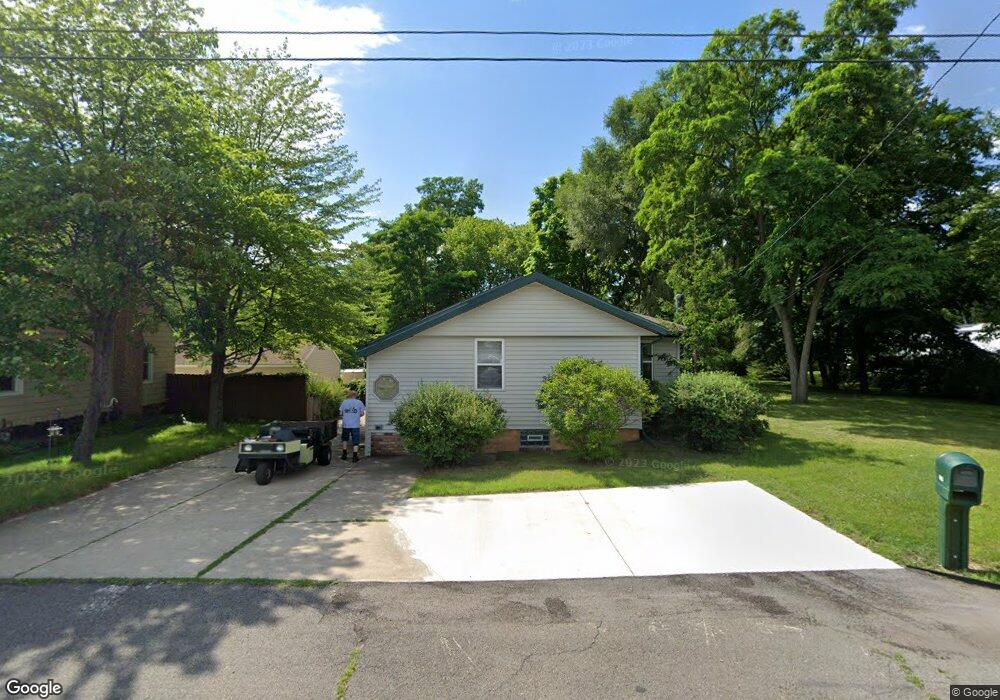
4819 E Us Highway 12 Michigan City, IN 46360
Estimated Value: $316,246 - $620,000
4
Beds
2
Baths
2,617
Sq Ft
$164/Sq Ft
Est. Value
About This Home
This home is located at 4819 E Us Highway 12, Michigan City, IN 46360 and is currently estimated at $428,312, approximately $163 per square foot. 4819 E Us Highway 12 is a home located in LaPorte County with nearby schools including Springfield Elementary School, Martin T. Krueger Middle School, and Michigan City High School.
Ownership History
Date
Name
Owned For
Owner Type
Purchase Details
Closed on
Nov 17, 2023
Sold by
Jones Kevin P
Bought by
Cherrett Development 4919Mc Llc
Current Estimated Value
Home Financials for this Owner
Home Financials are based on the most recent Mortgage that was taken out on this home.
Original Mortgage
$420,000
Outstanding Balance
$412,659
Interest Rate
7.49%
Mortgage Type
New Conventional
Estimated Equity
$15,653
Purchase Details
Closed on
Feb 28, 2008
Sold by
Hohnke Heinz H and Noguchi Connie R
Bought by
Jones Kevin P
Purchase Details
Closed on
Aug 1, 2002
Sold by
Hohnke Heinz H
Bought by
Jones Kevin P
Home Financials for this Owner
Home Financials are based on the most recent Mortgage that was taken out on this home.
Original Mortgage
$49,700
Interest Rate
6.01%
Mortgage Type
Seller Take Back
Create a Home Valuation Report for This Property
The Home Valuation Report is an in-depth analysis detailing your home's value as well as a comparison with similar homes in the area
Home Values in the Area
Average Home Value in this Area
Purchase History
| Date | Buyer | Sale Price | Title Company |
|---|---|---|---|
| Cherrett Development 4919Mc Llc | -- | None Listed On Document | |
| Jones Kevin P | -- | None Available | |
| Jones Kevin P | $50,000 | -- |
Source: Public Records
Mortgage History
| Date | Status | Borrower | Loan Amount |
|---|---|---|---|
| Open | Cherrett Development 4919Mc Llc | $420,000 | |
| Previous Owner | Jones Kevin P | $49,700 |
Source: Public Records
Tax History Compared to Growth
Tax History
| Year | Tax Paid | Tax Assessment Tax Assessment Total Assessment is a certain percentage of the fair market value that is determined by local assessors to be the total taxable value of land and additions on the property. | Land | Improvement |
|---|---|---|---|---|
| 2024 | $3,512 | $216,000 | $19,200 | $196,800 |
| 2023 | $3,440 | $172,000 | $19,200 | $152,800 |
| 2022 | $2,572 | $128,600 | $19,200 | $109,400 |
| 2021 | $2,216 | $110,800 | $19,200 | $91,600 |
| 2020 | $1,085 | $110,800 | $19,200 | $91,600 |
| 2019 | $1,134 | $108,600 | $19,200 | $89,400 |
| 2018 | $1,044 | $99,600 | $17,200 | $82,400 |
| 2017 | $965 | $91,700 | $8,300 | $83,400 |
| 2016 | $1,009 | $96,100 | $8,300 | $87,800 |
| 2014 | $1,118 | $111,800 | $8,300 | $103,500 |
Source: Public Records
Map
Nearby Homes
- 726 Freyer Rd
- 310 Maplewood Dr
- 218 Elmwood Dr
- 4 Saint Andrews Dr
- 2936 Belle Plaine Trail
- Lot 8 Sanders
- Lot 6 Sanders
- Lot 4 Sanders
- 3532 Calumet Trail
- 0 Ridge Rd
- 3541 Calumet Trail
- 3539 Calumet Trail
- 2925 Lake Shore Dr
- 2930 Lake Shore Dr
- 501 El Portal Dr
- 2614 Hermoine Trail
- Lots 16-19 Birchwood Trail
- 405 Groveland Dr
- 2308 Florimond Dr
- 3820 Hiawatha Dr
- 4825 U S 12
- 4825 E Us Highway 12
- 4819 U S 12
- 4833 E Us Highway 12
- 4825 E Us Hwy
- 4809 E Us Highway 12
- 4819 E Us Hwy
- 4851 E Us Highway 12
- 101 Davis Dr
- 101 Top Flight Rd
- 103 Top Flight Rd
- 4837 E Us Hwy
- 103 Davis Dr
- 4837 E Us Highway 12
- 131 Top Flight Rd
- 133 Top Flight Rd
- 107 Davis Dr
- 110 Davis Dr
- 100 Top Flight Rd
- 2410 Duneland Beach Dr