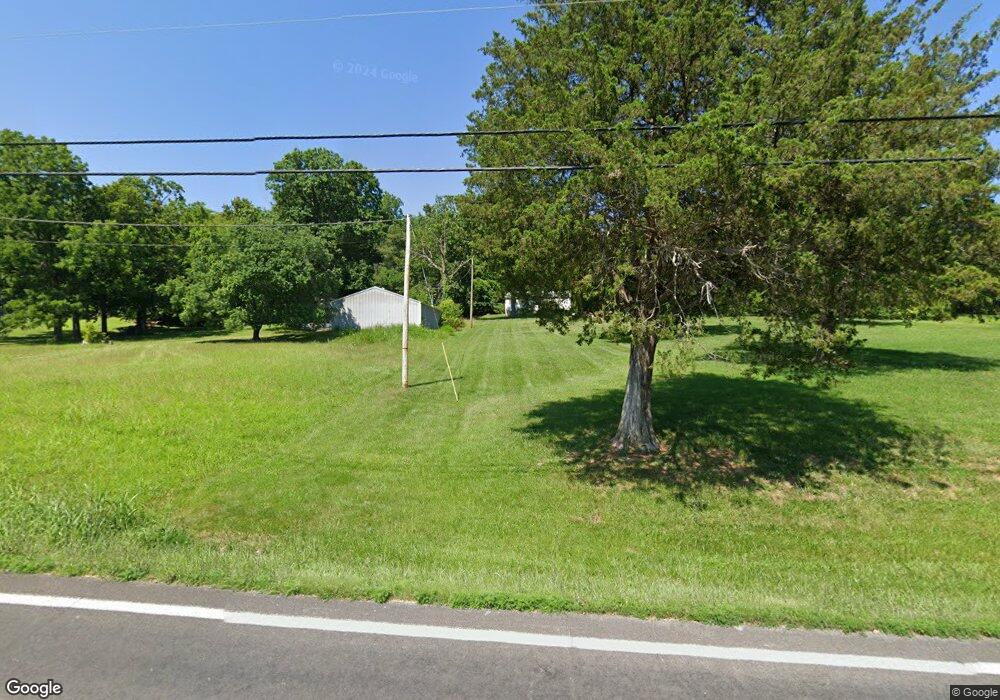
4819 State Road V de Soto, MO 63020
Estimated Value: $35,696 - $208,000
--
Bed
--
Bath
620
Sq Ft
$218/Sq Ft
Est. Value
About This Home
This home is located at 4819 State Road V, de Soto, MO 63020 and is currently estimated at $135,424, approximately $218 per square foot. 4819 State Road V is a home located in Jefferson County with nearby schools including Sunrise Elementary School and St Rose Of Lima School.
Ownership History
Date
Name
Owned For
Owner Type
Purchase Details
Closed on
May 18, 2012
Sold by
Rowe Lindell Phillip and Rowe Sylvia L
Bought by
Friday Michael D and Friday Donna L
Current Estimated Value
Purchase Details
Closed on
Feb 24, 1998
Sold by
Mercantile Bank Na
Bought by
Rowe Lindell Phillip and Rowe Sylvia L
Purchase Details
Closed on
Oct 15, 1997
Sold by
Schwarzbach Michael T
Bought by
Mercantile Bank Na
Create a Home Valuation Report for This Property
The Home Valuation Report is an in-depth analysis detailing your home's value as well as a comparison with similar homes in the area
Home Values in the Area
Average Home Value in this Area
Purchase History
| Date | Buyer | Sale Price | Title Company |
|---|---|---|---|
| Friday Michael D | -- | None Available | |
| Rowe Lindell Phillip | -- | -- | |
| Mercantile Bank Na | $41,900 | First American Title Ins Co |
Source: Public Records
Tax History Compared to Growth
Tax History
| Year | Tax Paid | Tax Assessment Tax Assessment Total Assessment is a certain percentage of the fair market value that is determined by local assessors to be the total taxable value of land and additions on the property. | Land | Improvement |
|---|---|---|---|---|
| 2025 | $180 | $2,600 | $2,100 | $500 |
| 2024 | $180 | $2,500 | $2,100 | $400 |
| 2023 | $180 | $2,500 | $2,100 | $400 |
| 2022 | $178 | $2,500 | $2,100 | $400 |
| 2021 | $177 | $2,500 | $2,100 | $400 |
| 2020 | $362 | $5,000 | $1,700 | $3,300 |
| 2019 | $361 | $5,000 | $1,700 | $3,300 |
| 2018 | $359 | $5,000 | $1,700 | $3,300 |
| 2017 | $344 | $5,000 | $1,700 | $3,300 |
| 2016 | $322 | $4,600 | $1,700 | $2,900 |
| 2015 | $298 | $4,600 | $1,700 | $2,900 |
| 2013 | -- | $4,100 | $1,600 | $2,500 |
Source: Public Records
Map
Nearby Homes
- 1571 Berry Dairy Rd
- 4445 Cedar Tree Ln
- 0 Cedar Tree Ln
- BLOCK 54 Highway E
- 54 Veterans Dr
- 0 Kennett St
- 400 E Plattin St
- 52 Highway E (Veterans Dr ) Hwy
- 53 HIGHWAY E (Vererans Dr) Dr
- 100 Kennett St
- 2 Harley Ct
- 0 Hwy E-Veterans Hwy Unit MIS25014230
- 55 Deloris Dr
- 63 Deloris Dr
- 0 Deloris Dr
- 10 Acres Off Hawkwood Trail
- 708 S 2nd St
- 623 Boyne St
- 663 Boyne St
- 209 Kennett St
- 4823 State Road V
- 4807 State Road V
- 4812 State Road V
- 4818 State Road V
- 4818 State Road "V"
- 4806 State Road V
- 4831 State Road V
- 4800 State Road V
- 4789 State Road V
- 0 Hillcrest Unit 80070043
- 0 Hillcrest Unit 11026615
- 0 Hillcrest Unit 14035275
- 4783 State Road V
- 1512 Berry Dairy Rd
- 1522 Berry Dairy Rd
- 1516 Berry Dairy Rd
- 1528 Berry Dairy Rd
- 1534 Berry Dairy Rd
- 1540 Berry Dairy Rd
- 1504 Berry Dairy Rd