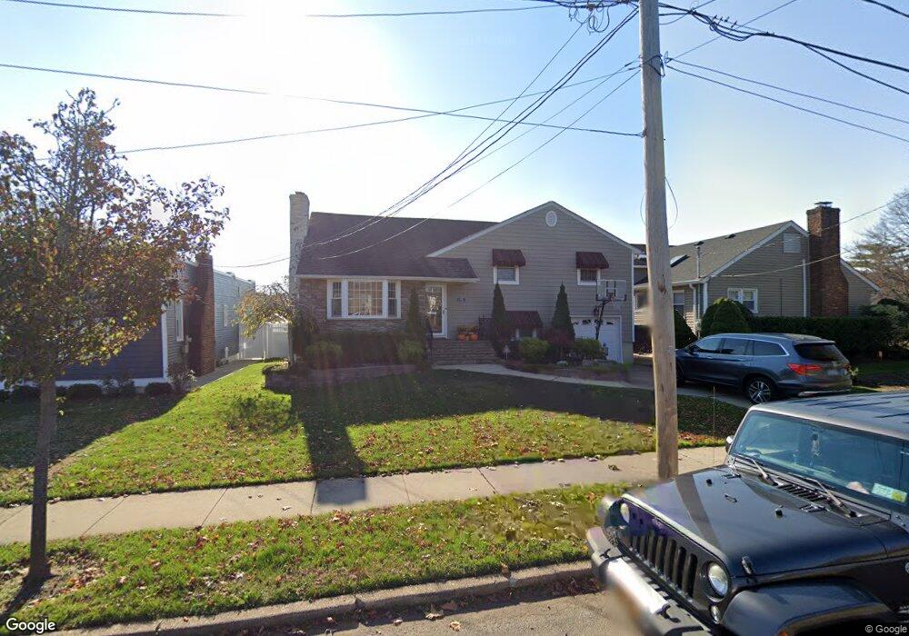
482 Bedell St Baldwin, NY 11510
Estimated Value: $963,068 - $1,062,000
5
Beds
3
Baths
2,232
Sq Ft
$454/Sq Ft
Est. Value
About This Home
This home is located at 482 Bedell St, Baldwin, NY 11510 and is currently estimated at $1,012,534, approximately $453 per square foot. 482 Bedell St is a home located in Nassau County with nearby schools including North Oceanside Elementary School 5, Oceanside Middle School, and Oceanside High School.
Ownership History
Date
Name
Owned For
Owner Type
Purchase Details
Closed on
Apr 14, 2014
Sold by
Delateja Alexander De and La Teja Amy De
Bought by
Delateja Amy
Current Estimated Value
Purchase Details
Closed on
Feb 21, 2011
Sold by
Community Alliance Group Llc
Bought by
Teja Alexander De La
Purchase Details
Closed on
Sep 27, 2010
Sold by
Gehring George G and Of Patricia Christmann Gehring
Bought by
Community Alliance Group Llc
Home Financials for this Owner
Home Financials are based on the most recent Mortgage that was taken out on this home.
Original Mortgage
$292,000
Interest Rate
4.37%
Mortgage Type
Purchase Money Mortgage
Create a Home Valuation Report for This Property
The Home Valuation Report is an in-depth analysis detailing your home's value as well as a comparison with similar homes in the area
Home Values in the Area
Average Home Value in this Area
Purchase History
| Date | Buyer | Sale Price | Title Company |
|---|---|---|---|
| Delateja Amy | -- | -- | |
| Teja Alexander De La | $475,000 | -- | |
| Community Alliance Group Llc | $325,000 | -- |
Source: Public Records
Mortgage History
| Date | Status | Borrower | Loan Amount |
|---|---|---|---|
| Previous Owner | Community Alliance Group Llc | $292,000 |
Source: Public Records
Tax History
| Year | Tax Paid | Tax Assessment Tax Assessment Total Assessment is a certain percentage of the fair market value that is determined by local assessors to be the total taxable value of land and additions on the property. | Land | Improvement |
|---|---|---|---|---|
| 2025 | $16,729 | $640 | $191 | $449 |
| 2024 | $4,993 | $633 | $204 | $429 |
Source: Public Records
Map
Nearby Homes
- 556 Jackson St
- 2398 Yorktown St
- 2730 Remsen St
- 420 Devonshire Rd
- 724 Foxhurst Rd
- 590 Haig St Unit 101
- 15 N Oceanside Rd
- 2355 Pershing Blvd Unit 607
- 2585 Oceanside Rd
- 2860 Lenox Rd
- 840 Robin Ct
- 2270 Edna Ct
- 254 Elizabeth Ave
- 2116 Maple St
- 689 Arlington Ave
- 2122 Walnut St
- 10 Purdy Ct
- 2778 King St
- 817 Southard St
- 1 Jefferson Ave Unit D2
- 488 Bedell St
- 2445 Westlake Ave
- 2457 Westlake Ave
- 494 Bedell St
- 2458 Soper Ave
- 2463 Westlake Ave
- 2464 Soper Ave
- 464 Bedell St
- 2445 Soper Ave
- 2469 Westlake Ave
- 2456 Westlake Ave
- 2457 Soper Ave
- 2460 Westlake Ave
- 2444 Westlake Ave
- 2470 Soper Ave
- 2433 Westlake Ave
- 502 Bedell St
- 454 Bedell St
- 2473 Westlake Ave
- 2463 Soper Ave
Your Personal Tour Guide
Ask me questions while you tour the home.