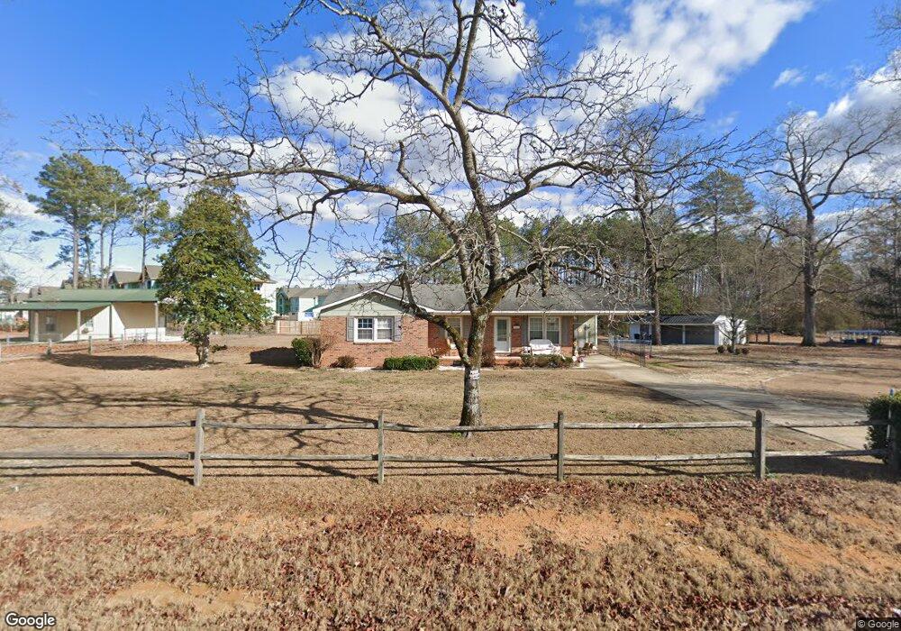
482 Brock Rd Raeford, NC 28376
Estimated Value: $188,497 - $211,000
Studio
1
Bath
1,134
Sq Ft
$176/Sq Ft
Est. Value
About This Home
This home is located at 482 Brock Rd, Raeford, NC 28376 and is currently estimated at $199,624, approximately $176 per square foot. 482 Brock Rd is a home with nearby schools including Upchurch Elementary School, East Hoke Middle, and Hoke County High.
Ownership History
Date
Name
Owned For
Owner Type
Purchase Details
Closed on
Sep 12, 2018
Sold by
Smith Dwight Dwayne and Smith Pattie T
Bought by
Nadir Abdelhoud and Nadir Barbara
Current Estimated Value
Home Financials for this Owner
Home Financials are based on the most recent Mortgage that was taken out on this home.
Original Mortgage
$115,900
Outstanding Balance
$70,957
Interest Rate
4.6%
Mortgage Type
New Conventional
Estimated Equity
$128,667
Create a Home Valuation Report for This Property
The Home Valuation Report is an in-depth analysis detailing your home's value as well as a comparison with similar homes in the area
Home Values in the Area
Average Home Value in this Area
Purchase History
| Date | Buyer | Sale Price | Title Company |
|---|---|---|---|
| Nadir Abdelhoud | $126,000 | None Available |
Source: Public Records
Mortgage History
| Date | Status | Borrower | Loan Amount |
|---|---|---|---|
| Open | Nadir Abdelhoud | $115,900 |
Source: Public Records
Tax History
| Year | Tax Paid | Tax Assessment Tax Assessment Total Assessment is a certain percentage of the fair market value that is determined by local assessors to be the total taxable value of land and additions on the property. | Land | Improvement |
|---|---|---|---|---|
| 2025 | $963 | $102,860 | $31,340 | $71,520 |
| 2024 | $963 | $102,860 | $31,340 | $71,520 |
| 2023 | $963 | $102,860 | $31,340 | $71,520 |
| 2022 | $947 | $102,860 | $31,340 | $71,520 |
| 2021 | $928 | $98,130 | $27,840 | $70,290 |
| 2020 | $942 | $98,130 | $27,840 | $70,290 |
| 2019 | $942 | $98,130 | $27,840 | $70,290 |
| 2018 | $569 | $98,130 | $27,840 | $70,290 |
| 2017 | $569 | $98,130 | $27,840 | $70,290 |
| 2016 | $560 | $98,130 | $27,840 | $70,290 |
| 2015 | $560 | $98,130 | $27,840 | $70,290 |
| 2014 | $404 | $81,280 | $18,850 | $62,430 |
| 2013 | -- | $75,250 | $15,080 | $60,170 |
Source: Public Records
Map
Nearby Homes
- 286 Peaceford Ave
- 780 Wayside Rd
- 176 Wexford St
- 479 Wedgefield Dr
- 201 Weston Woods St
- 0 Fayettevill Raod and Paraclete Dr
- 152 Independence Dr
- 216 Weston Woods St
- 284 Weston Woods St
- 111 Cardinal Ave
- 381 Wexford St
- 228 Tipperary St
- 239 Stafford Ave
- 196 Independence Dr
- 247 Cloverwood Ln
- 204 Independence Dr
- 207 Boswell St
- 411 Midway Dr
- 1410 Darby Dr
- 195 Hogart St
- 116 Wedgefield Dr
- 122 Wedgefield Dr
- 136 Peaceford Ave
- 526 Brock Rd
- 119 Wedgefield Dr
- 141 Wedgefield Dr
- 152 Wedgefield Dr
- 143 Peaceford Ave
- 143 Peaceford Lot 201 Ave
- 155 Wedgefield Dr
- 556 Brock Rd
- 161 Peaceford Ave
- 116 Fountain Grove Dr
- 173 Wedgefield Dr
- 130 Fountain Grove Dr
- 203 Drew St
- 181 Peaceford Ave
- 190 Peaceford Ave
- 190 Peaceford Lot 197 Ave
- 146 Fountain Grove Dr
Your Personal Tour Guide
Ask me questions while you tour the home.