482 Buckskin Trail Kansas, OK 74347
Estimated Value: $242,134 - $297,000
3
Beds
2
Baths
1,560
Sq Ft
$171/Sq Ft
Est. Value
About This Home
This home is located at 482 Buckskin Trail, Kansas, OK 74347 and is currently estimated at $266,034, approximately $170 per square foot. 482 Buckskin Trail is a home located in Delaware County with nearby schools including Kansas Elementary School, Kansas Middle School, and Kansas High School.
Ownership History
Date
Name
Owned For
Owner Type
Purchase Details
Closed on
Nov 16, 1999
Sold by
Sparks Ronnie L
Current Estimated Value
Purchase Details
Closed on
Jun 3, 1998
Sold by
Loffer Jason and Loffer Janie
Purchase Details
Closed on
May 3, 1995
Sold by
Mcmahon Della A
Purchase Details
Closed on
Apr 27, 1995
Sold by
Flint Ridge Property Owners
Purchase Details
Closed on
Mar 29, 1994
Sold by
Mcmahon Della A
Create a Home Valuation Report for This Property
The Home Valuation Report is an in-depth analysis detailing your home's value as well as a comparison with similar homes in the area
Home Values in the Area
Average Home Value in this Area
Purchase History
| Date | Buyer | Sale Price | Title Company |
|---|---|---|---|
| -- | $83,000 | -- | |
| -- | $79,000 | -- | |
| -- | -- | -- | |
| -- | $3,000 | -- | |
| -- | -- | -- |
Source: Public Records
Tax History Compared to Growth
Tax History
| Year | Tax Paid | Tax Assessment Tax Assessment Total Assessment is a certain percentage of the fair market value that is determined by local assessors to be the total taxable value of land and additions on the property. | Land | Improvement |
|---|---|---|---|---|
| 2025 | $1,264 | $14,180 | $1,058 | $13,122 |
| 2024 | $1,252 | $13,767 | $1,027 | $12,740 |
| 2023 | $1,252 | $13,366 | $998 | $12,368 |
| 2022 | $1,192 | $13,366 | $994 | $12,372 |
| 2021 | $1,164 | $12,976 | $992 | $11,984 |
| 2020 | $1,140 | $12,599 | $998 | $11,601 |
| 2019 | $1,120 | $11,876 | $971 | $10,905 |
| 2018 | $1,085 | $11,876 | $980 | $10,896 |
| 2017 | $1,067 | $11,530 | $954 | $10,576 |
| 2016 | $1,038 | $10,868 | $897 | $9,971 |
| 2015 | $960 | $10,868 | $897 | $9,971 |
| 2014 | $986 | $10,868 | $897 | $9,971 |
Source: Public Records
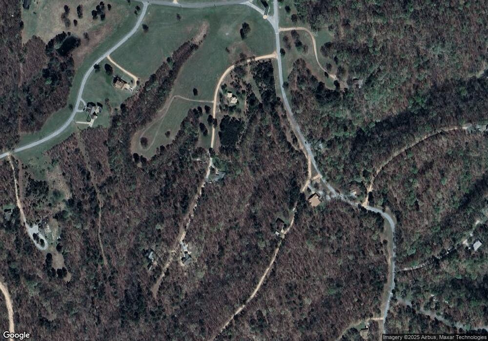
Map
Nearby Homes
- 479 Buckskin Trail
- 492 Deer Creek Rd
- 1 Deer Lake Trail
- 396 Hidden Valley Dr
- 420 Deer Lake Rd
- 0 Deer Path Rd Unit 2549126
- 0 Highland Rd
- 455 Whitetail Rd
- 792 Mallard Rd
- 298 E Fox Creek Rd
- 164 Crossroads Dr
- 288 Crossroads Dr
- 313 Hidden Hollow Rd
- 2145 Deer Lake Dr
- 238 Fox Track Trail
- 8128 W Clear Creek Rd
- 144 Dogwood Cir
- 826 Running Water Trail
- 246 Red Fox Cove Trail
- 142 Dogwood Cir
- 477 Buckskin Trail
- 2288 Cave Creek Dr
- 2288 Cave Creek Dr
- 2033 Deep Creek Cove
- 25309 Whitetail Rd
- 0 Deer Creek
- 489 Deer Creek Rd
- 488 Flint Ridge Dr
- Lot 123 Deer Creek Area
- TBD Lot 101 Deer Creek Rd
- 484 Buckskin Trail
- 4114 Flint Ridge Dr
- 618 Flint Ridge Dr
- Lot 357 Flint Ridge Rv2 Rd
- 619 Flint Ridge Dr
- 0 Dry Creek Rd Unit 597118
- 476 Buckskin Trail
- 21104 Timber Ridge Dr
- 21104 Timber Ridge Dr
- 21104 Timber Ridge Dr