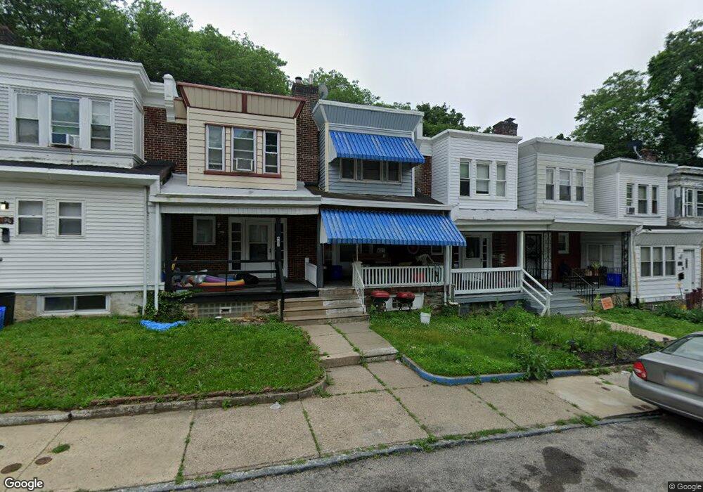
482 E Penn St Philadelphia, PA 19144
East Germantown NeighborhoodEstimated Value: $105,000 - $124,000
2
Beds
1
Bath
750
Sq Ft
$151/Sq Ft
Est. Value
About This Home
This home is located at 482 E Penn St, Philadelphia, PA 19144 and is currently estimated at $113,090, approximately $150 per square foot. 482 E Penn St is a home located in Philadelphia County with nearby schools including Roosevelt Theodore Middle School, Oak Street Elementary School, and Martin Luther King High School.
Ownership History
Date
Name
Owned For
Owner Type
Purchase Details
Closed on
May 19, 2014
Sold by
Crum Lillian
Bought by
Cross Tyrone S
Current Estimated Value
Purchase Details
Closed on
Jun 3, 2002
Sold by
Bey Rome
Bought by
Crum Lillian
Purchase Details
Closed on
Apr 22, 2002
Sold by
Crum Lillian
Bought by
Bey Rome
Purchase Details
Closed on
Mar 31, 2000
Sold by
First Union National Bank
Bought by
Crum Lillian
Purchase Details
Closed on
Jan 17, 2000
Sold by
Bland Charles and First Union National Bank
Bought by
Federal National Mortgage Association
Create a Home Valuation Report for This Property
The Home Valuation Report is an in-depth analysis detailing your home's value as well as a comparison with similar homes in the area
Home Values in the Area
Average Home Value in this Area
Purchase History
| Date | Buyer | Sale Price | Title Company |
|---|---|---|---|
| Cross Tyrone S | -- | None Available | |
| Crum Lillian | -- | -- | |
| Bey Rome | $23,052 | -- | |
| Crum Lillian | $7,900 | -- | |
| First Union National Bank | $15,132 | -- | |
| Federal National Mortgage Association | $3,200 | -- |
Source: Public Records
Tax History Compared to Growth
Tax History
| Year | Tax Paid | Tax Assessment Tax Assessment Total Assessment is a certain percentage of the fair market value that is determined by local assessors to be the total taxable value of land and additions on the property. | Land | Improvement |
|---|---|---|---|---|
| 2026 | $777 | $83,200 | $16,600 | $66,600 |
| 2025 | $777 | $83,200 | $16,600 | $66,600 |
| 2024 | $777 | $83,200 | $16,600 | $66,600 |
| 2023 | $777 | $55,500 | $11,100 | $44,400 |
| 2022 | $160 | $11,400 | $11,100 | $300 |
| 2021 | $617 | $0 | $0 | $0 |
| 2020 | $617 | $0 | $0 | $0 |
| 2019 | $645 | $0 | $0 | $0 |
| 2018 | $386 | $0 | $0 | $0 |
| 2017 | $806 | $0 | $0 | $0 |
| 2016 | $386 | $0 | $0 | $0 |
| 2015 | $5,628 | $0 | $0 | $0 |
| 2014 | -- | $57,600 | $5,745 | $51,855 |
| 2012 | -- | $6,784 | $905 | $5,879 |
Source: Public Records
Map
Nearby Homes
- 529 E Queen Ln
- 540 E Ashmead St
- 5301 Belfield Ave
- 5357 Belfield Ave
- 83 E Ashmead St
- 238 E Queen Ln
- 604 E Locust Ave
- 543 E Locust Ave
- 4995 Sheldon St
- 617 E Locust Ave
- 437 49 E Collom St
- 5502 Crowson St
- 2110 W Chew Ave
- 4937 Rubicam St
- 5220 Wakefield St
- 4950 Wakefield St
- 5335 Wakefield St
- 5610 Mcmahon St
- 78 E Penn St
- 345 E Armat St