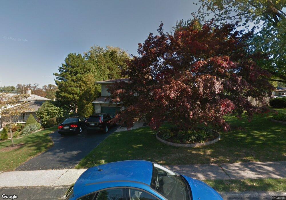
482 Hampton Rd King of Prussia, PA 19406
Estimated Value: $473,000 - $518,000
3
Beds
2
Baths
1,536
Sq Ft
$323/Sq Ft
Est. Value
About This Home
This home is located at 482 Hampton Rd, King of Prussia, PA 19406 and is currently estimated at $496,320, approximately $323 per square foot. 482 Hampton Rd is a home located in Montgomery County with nearby schools including Caley Elementary School, Upper Merion Middle School, and Upper Merion High School.
Ownership History
Date
Name
Owned For
Owner Type
Purchase Details
Closed on
Oct 30, 2002
Sold by
Thornburg Nancy L
Bought by
Mcmaster John P and Mcmaster Linda D
Current Estimated Value
Purchase Details
Closed on
Dec 11, 1998
Sold by
Thornburg Robin L
Bought by
Thornburg Robin L and Thornburg Nancy L
Purchase Details
Closed on
Jan 13, 1995
Sold by
Kauffman John W and Kauffman Jeanne M
Bought by
Thornburg Robin L
Create a Home Valuation Report for This Property
The Home Valuation Report is an in-depth analysis detailing your home's value as well as a comparison with similar homes in the area
Home Values in the Area
Average Home Value in this Area
Purchase History
| Date | Buyer | Sale Price | Title Company |
|---|---|---|---|
| Mcmaster John P | $205,000 | -- | |
| Thornburg Robin L | -- | -- | |
| Thornburg Robin L | $137,000 | -- |
Source: Public Records
Tax History Compared to Growth
Tax History
| Year | Tax Paid | Tax Assessment Tax Assessment Total Assessment is a certain percentage of the fair market value that is determined by local assessors to be the total taxable value of land and additions on the property. | Land | Improvement |
|---|---|---|---|---|
| 2025 | $4,087 | $132,590 | $53,880 | $78,710 |
| 2024 | $4,087 | $132,590 | $53,880 | $78,710 |
| 2023 | $3,942 | $132,590 | $53,880 | $78,710 |
| 2022 | $3,773 | $132,590 | $53,880 | $78,710 |
| 2021 | $3,656 | $132,590 | $53,880 | $78,710 |
| 2020 | $3,493 | $132,590 | $53,880 | $78,710 |
| 2019 | $3,434 | $132,590 | $53,880 | $78,710 |
| 2018 | $3,434 | $132,590 | $53,880 | $78,710 |
| 2017 | $3,311 | $132,590 | $53,880 | $78,710 |
| 2016 | $3,259 | $132,590 | $53,880 | $78,710 |
| 2015 | $3,138 | $132,590 | $53,880 | $78,710 |
| 2014 | $3,138 | $132,590 | $53,880 | $78,710 |
Source: Public Records
Map
Nearby Homes
- 156 Green Hill Rd
- 351 Riverview Rd
- 237 E Valley Forge Rd
- 243 Chapel Ln Unit 79A
- 251 Chapel Ln Unit 83B
- 245 Chapel Ln Unit 80B
- 603 Nantucket Cir
- 345 W Signal Hill Rd
- 319 Aspen Way
- 313 Aspen Way
- 313 Aspen Way Unit HS 164- BRENTFORD
- 315 Aspen Way Unit HS 163- CARISBROOKE
- 200 Prince Frederick St Unit J3
- 330 Crossfield Rd
- Penwyn Elite Plan at Stonebrook at Upper Merion - Townes Collection
- Lanfair Plan at Stonebrook at Upper Merion - Townes Collection
- Wyndale Elite Plan at Stonebrook at Upper Merion - Townes Collection
- Carisbrooke Elite Plan at Stonebrook at Upper Merion - Townes Collection
- Brentford Elite Plan at Stonebrook at Upper Merion - Townes Collection
- Avonwood Elite Plan at Stonebrook at Upper Merion - Townes Collection
- 182 Riverview Rd
- 476 Hampton Rd
- 485 Hampton Rd
- 481 Hampton Rd
- 188 Riverview Rd
- 496 Hampton Rd
- 181 Anderson Rd
- 181 Riverview Rd
- 491 Hampton Rd
- 475 Hampton Rd
- 187 Anderson Rd
- 470 Hampton Rd
- 187 Riverview Rd
- 171 Anderson Rd
- 192 Riverview Rd
- 471 Hampton Rd
- 191 Anderson Rd
- 191 Riverview Rd
- 469 Dorothy Dr
- 467 Dorothy Dr