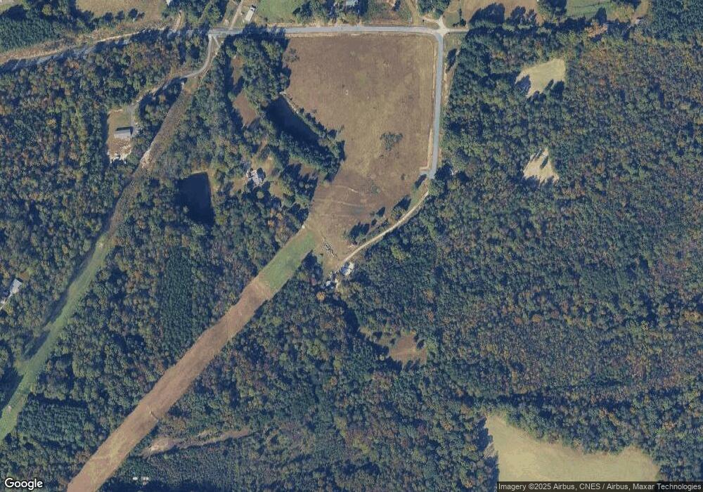
482 Jarrell Rd Reidsville, NC 27320
Estimated Value: $444,566 - $513,000
3
Beds
3
Baths
1,352
Sq Ft
$351/Sq Ft
Est. Value
About This Home
This home is located at 482 Jarrell Rd, Reidsville, NC 27320 and is currently estimated at $474,642, approximately $351 per square foot. 482 Jarrell Rd is a home located in Rockingham County with nearby schools including Wentworth Elementary School, Rockingham County Middle School, and Rockingham County High School.
Ownership History
Date
Name
Owned For
Owner Type
Purchase Details
Closed on
Mar 18, 2024
Sold by
Vernon Christopher S and Vernon Stephanie W
Bought by
Suleiman Mandy Kamal
Current Estimated Value
Home Financials for this Owner
Home Financials are based on the most recent Mortgage that was taken out on this home.
Original Mortgage
$423,831
Outstanding Balance
$415,713
Interest Rate
5.87%
Mortgage Type
FHA
Estimated Equity
$58,929
Create a Home Valuation Report for This Property
The Home Valuation Report is an in-depth analysis detailing your home's value as well as a comparison with similar homes in the area
Home Values in the Area
Average Home Value in this Area
Purchase History
| Date | Buyer | Sale Price | Title Company |
|---|---|---|---|
| Suleiman Mandy Kamal | $431,500 | None Listed On Document | |
| Suleiman Mandy Kamal | $431,500 | None Listed On Document |
Source: Public Records
Mortgage History
| Date | Status | Borrower | Loan Amount |
|---|---|---|---|
| Open | Suleiman Mandy Kamal | $423,831 | |
| Closed | Suleiman Mandy Kamal | $423,831 |
Source: Public Records
Tax History Compared to Growth
Tax History
| Year | Tax Paid | Tax Assessment Tax Assessment Total Assessment is a certain percentage of the fair market value that is determined by local assessors to be the total taxable value of land and additions on the property. | Land | Improvement |
|---|---|---|---|---|
| 2025 | $2,551 | $396,727 | $64,597 | $332,130 |
| 2024 | $2,279 | $354,518 | $64,597 | $289,921 |
| 2023 | $2,279 | $215,159 | $45,508 | $169,651 |
| 2022 | $1,689 | $215,159 | $45,508 | $169,651 |
| 2021 | $1,689 | $215,159 | $45,508 | $169,651 |
| 2020 | $1,689 | $215,159 | $45,508 | $169,651 |
| 2019 | $1,689 | $215,159 | $45,508 | $169,651 |
| 2018 | $1,627 | $207,007 | $48,378 | $158,629 |
| 2017 | $1,627 | $207,007 | $48,378 | $158,629 |
| 2015 | $1,644 | $207,007 | $48,378 | $158,629 |
| 2014 | $1,627 | $207,007 | $48,378 | $158,629 |
Source: Public Records
Map
Nearby Homes
- 1478 Ashley Loop
- 323 Anderson Rd
- 520 Anderson Rd
- 105 Legacy Ln
- 111 Legacy Ln
- 129 Legacy Ln
- 1934 Bethlehem Church Rd
- 1906 Bethlehem Church Rd
- 1358 Tellowee Rd
- 0 Silver Leaf Trail Unit 801164
- 1417 Town Creek Rd
- 262 Glendale Cir
- 914 Bethlehem Church Rd
- 00 Glenrobin Dr
- 317 Glenrobin Dr
- 169 Glenrobin Dr
- 135 Glenrobin Dr
- 186 Glenoak Dr
- 10391 Nc Highway 87
- 160 Yount Rd
- 388 Jarrell Rd
- 480 Jarrell Rd
- 429 Jarrell Rd
- 387 Jarrell Rd
- 483 Jarrell Rd
- 534 Jarrell Rd
- 369 Jarrell Rd
- 1211 Ashley Loop
- 196 Jarrell Rd
- 267 Jarrell Rd
- 1355 Ashley Loop
- 1220 Ashley Loop
- 170 Jarrell Rd
- 1165 Ashley Loop
- 1439 Ashley Loop
- 200 Wheatley Rd
- 242 Carter Dr
- 1445 Ashley Loop
- 1268 Ashley Loop
- 159 Jarrell Rd
