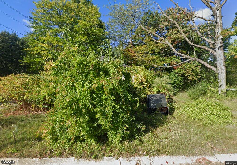
482 N Winans St Benton Harbor, MI 49022
Estimated Value: $68,528 - $131,000
2
Beds
1
Bath
816
Sq Ft
$124/Sq Ft
Est. Value
About This Home
This home is located at 482 N Winans St, Benton Harbor, MI 49022 and is currently estimated at $101,382, approximately $124 per square foot. 482 N Winans St is a home located in Berrien County with nearby schools including Fair Plain Middle School, Benton Harbor High School, and Mildred C. Wells Preparatory Academy.
Ownership History
Date
Name
Owned For
Owner Type
Purchase Details
Closed on
Jun 17, 2024
Sold by
Bowman Charles H
Bought by
Berrien County Treasurer
Current Estimated Value
Purchase Details
Closed on
Jun 13, 2023
Sold by
Bowman Charles M
Bought by
Berrien County Treasurer
Purchase Details
Closed on
Apr 30, 2004
Sold by
Lechenet Randall Lee and Lechenet Mary D
Bought by
Bloom Properties Inc
Purchase Details
Closed on
Mar 8, 2004
Sold by
Bloom Properties Inc
Bought by
Jdt Land Llc
Purchase Details
Closed on
Dec 11, 2003
Sold by
Lechenet Mary D and Lechenet Randall Lee
Bought by
Chemical Bank Shoreline and Shoreline Bank
Purchase Details
Closed on
Sep 28, 1999
Create a Home Valuation Report for This Property
The Home Valuation Report is an in-depth analysis detailing your home's value as well as a comparison with similar homes in the area
Home Values in the Area
Average Home Value in this Area
Purchase History
| Date | Buyer | Sale Price | Title Company |
|---|---|---|---|
| Berrien County Treasurer | -- | -- | |
| Berrien County Treasurer | -- | -- | |
| Bloom Properties Inc | -- | Chicago Title | |
| Jdt Land Llc | $382,500 | -- | |
| Chemical Bank Shoreline | $26,016 | -- | |
| -- | -- | -- |
Source: Public Records
Tax History Compared to Growth
Tax History
| Year | Tax Paid | Tax Assessment Tax Assessment Total Assessment is a certain percentage of the fair market value that is determined by local assessors to be the total taxable value of land and additions on the property. | Land | Improvement |
|---|---|---|---|---|
| 2025 | $589 | $22,000 | $0 | $0 |
| 2024 | $567 | $19,100 | $0 | $0 |
| 2023 | $453 | $13,100 | $0 | $0 |
| 2022 | $514 | $9,500 | $0 | $0 |
| 2021 | $718 | $9,300 | $500 | $8,800 |
| 2020 | $511 | $9,300 | $0 | $0 |
| 2019 | $502 | $8,100 | $0 | $0 |
| 2018 | $349 | $7,800 | $0 | $0 |
| 2017 | $362 | $8,200 | $0 | $0 |
| 2016 | $355 | $8,300 | $0 | $0 |
| 2015 | $354 | $8,000 | $0 | $0 |
| 2014 | $378 | $9,700 | $0 | $0 |
Source: Public Records
Map
Nearby Homes
- 470 N Mccord St
- 530 Rembert Ct
- 6525 Territorial Rd
- 696 Highland Ave
- 238 Pine St
- 137 Cornelia St
- 710 Buss Ave
- 1069 E Main St
- 992 Highland Ave
- 234 Walnut St
- 309 High St
- 394 Linden St
- 1226 Chicago Ave
- 255 High St
- 937 Hall St
- 419 Packard St
- 391 Pipestone St
- 378 Pipestone St
- 255 Collins Ave
- 293 Morning Walk Path
- 472 N Winans St
- 471 N Winans St
- 495 N Winans St
- 630 Waukonda Ave
- 468 N Winans St
- 624 Waukonda Ave
- 670 Waukonda Ave
- 614 Waukonda Ave
- 653 Waukonda Ave
- 653 Waukonda Ave
- 694 Waukonda Ave
- 663 Madison Ave
- 661 Waukonda Ave
- 631 Waukonda Ave
- 645 Madison Ave
- 696 Waukonda Ave
- 615 Madison Ave
- 0 Madison Ave
- 1011 Madison Ave
- 671 Madison Ave