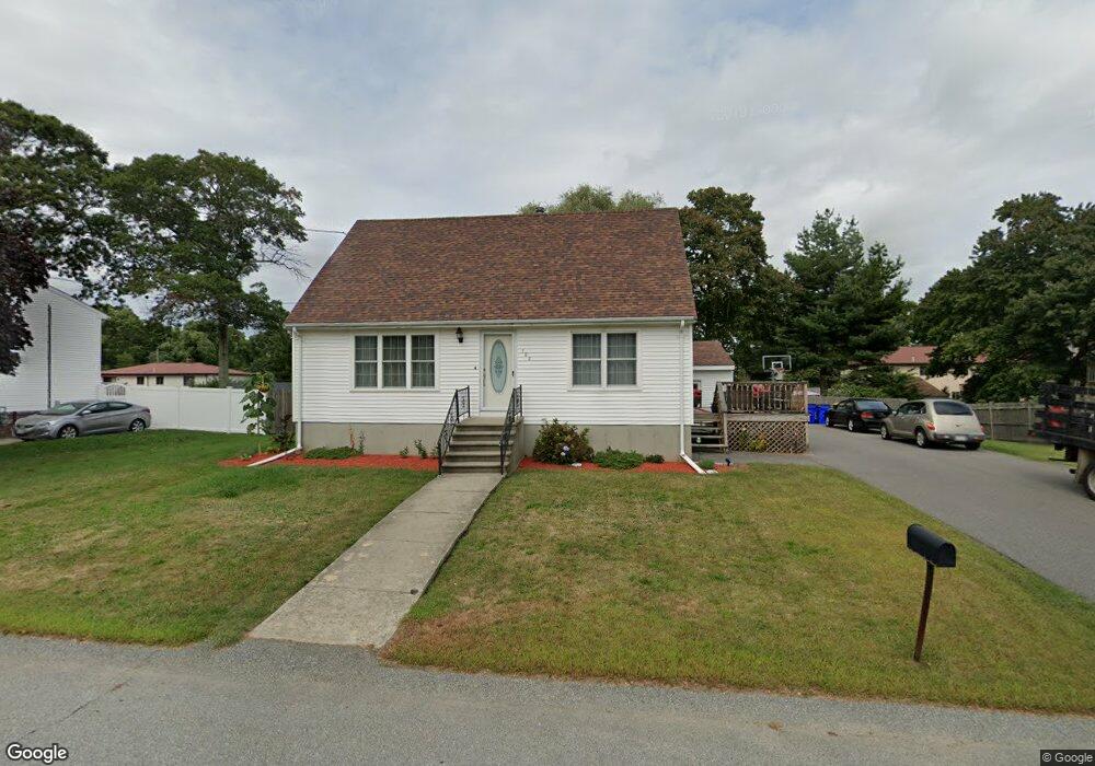
482 Norman St Fall River, MA 02721
Maplewood NeighborhoodEstimated Value: $455,417 - $548,000
3
Beds
2
Baths
1,459
Sq Ft
$338/Sq Ft
Est. Value
About This Home
This home is located at 482 Norman St, Fall River, MA 02721 and is currently estimated at $493,604, approximately $338 per square foot. 482 Norman St is a home located in Bristol County with nearby schools including Letourneau Elementary School, Matthew J. Kuss Middle School, and B M C Durfee High School.
Ownership History
Date
Name
Owned For
Owner Type
Purchase Details
Closed on
Apr 14, 2010
Sold by
Cote Prop Inc
Bought by
Botelho Joao M and Botelho Elizabeth
Current Estimated Value
Home Financials for this Owner
Home Financials are based on the most recent Mortgage that was taken out on this home.
Original Mortgage
$240,562
Outstanding Balance
$159,984
Interest Rate
4.97%
Mortgage Type
Purchase Money Mortgage
Estimated Equity
$333,620
Purchase Details
Closed on
Dec 11, 2009
Sold by
Cote Paul E
Bought by
Cote Prop Inc
Home Financials for this Owner
Home Financials are based on the most recent Mortgage that was taken out on this home.
Original Mortgage
$153,920
Interest Rate
5.02%
Mortgage Type
Purchase Money Mortgage
Create a Home Valuation Report for This Property
The Home Valuation Report is an in-depth analysis detailing your home's value as well as a comparison with similar homes in the area
Home Values in the Area
Average Home Value in this Area
Purchase History
| Date | Buyer | Sale Price | Title Company |
|---|---|---|---|
| Botelho Joao M | $245,000 | -- | |
| Cote Prop Inc | -- | -- | |
| Cote Paul E | $156,000 | -- |
Source: Public Records
Mortgage History
| Date | Status | Borrower | Loan Amount |
|---|---|---|---|
| Open | Botelho Joao M | $240,562 | |
| Previous Owner | Cote Paul E | $153,920 |
Source: Public Records
Tax History
| Year | Tax Paid | Tax Assessment Tax Assessment Total Assessment is a certain percentage of the fair market value that is determined by local assessors to be the total taxable value of land and additions on the property. | Land | Improvement |
|---|---|---|---|---|
| 2025 | $4,649 | $406,000 | $134,500 | $271,500 |
| 2024 | $4,389 | $382,000 | $129,500 | $252,500 |
| 2023 | $4,611 | $375,800 | $123,200 | $252,600 |
| 2022 | $4,124 | $326,800 | $114,100 | $212,700 |
| 2021 | $4,022 | $290,800 | $113,800 | $177,000 |
| 2020 | $3,763 | $260,400 | $107,600 | $152,800 |
| 2019 | $4,886 | $252,900 | $105,600 | $147,300 |
| 2018 | $4,179 | $247,000 | $105,600 | $141,400 |
| 2017 | $3,381 | $241,500 | $102,500 | $139,000 |
| 2016 | $3,204 | $235,100 | $102,500 | $132,600 |
| 2015 | $3,127 | $239,100 | $102,500 | $136,600 |
| 2014 | $3,008 | $239,100 | $102,500 | $136,600 |
Source: Public Records
Map
Nearby Homes
- 0 Hancock St
- 0 Wood St
- 664 Norman St
- 38 Hummingbird Ln
- 18 Mockingbird Ln
- 21 Nightingale Ln
- 206 Songbird Ln
- 0 Stafford Rd Unit 1393774
- 0 Stafford Rd Unit 73431501
- 186 Spencer St
- 95 Hiatt St
- 84 Lark Ln
- 37 Bluejay St
- 0 Sheldon St
- 3 Blackbird St
- 185 Stafford Rd
- 1082 Hancock St
- 71 Blackbird St
- 495 Chicago St
- 447 Stafford Rd Unit E7
Your Personal Tour Guide
Ask me questions while you tour the home.