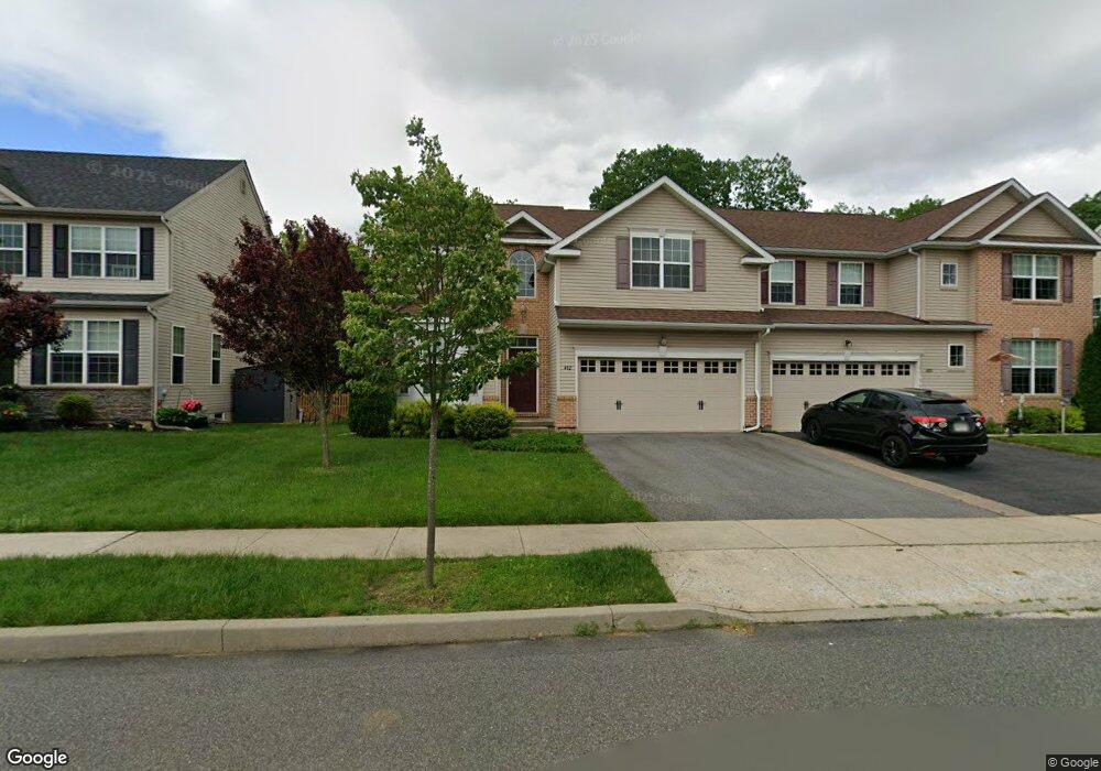
482 Racite Rd Alburtis, PA 18011
Lower Macungie Township West NeighborhoodEstimated Value: $461,000 - $488,882
3
Beds
3
Baths
1,960
Sq Ft
$244/Sq Ft
Est. Value
About This Home
This home is located at 482 Racite Rd, Alburtis, PA 18011 and is currently estimated at $477,971, approximately $243 per square foot. 482 Racite Rd is a home located in Lehigh County with nearby schools including Alburtis Elementary School, Lower Macungie Middle School, and Emmaus High School.
Ownership History
Date
Name
Owned For
Owner Type
Purchase Details
Closed on
Sep 2, 2016
Sold by
Kay Lock Ridge Llc
Bought by
Witt Diann Marie and Giannosa Peter J
Current Estimated Value
Home Financials for this Owner
Home Financials are based on the most recent Mortgage that was taken out on this home.
Original Mortgage
$199,900
Outstanding Balance
$159,775
Interest Rate
3.45%
Mortgage Type
New Conventional
Estimated Equity
$318,196
Purchase Details
Closed on
May 23, 2016
Sold by
Jaindl David M and Jaindl Mark W
Bought by
Kay Lock Ridge Llc
Purchase Details
Closed on
Sep 25, 1978
Sold by
Jaindl Fred J
Bought by
Jaindl Fred J
Create a Home Valuation Report for This Property
The Home Valuation Report is an in-depth analysis detailing your home's value as well as a comparison with similar homes in the area
Home Values in the Area
Average Home Value in this Area
Purchase History
| Date | Buyer | Sale Price | Title Company |
|---|---|---|---|
| Witt Diann Marie | $260,990 | None Available | |
| Kay Lock Ridge Llc | $431,661 | Attorney | |
| Jaindl Fred J | $759,400 | -- |
Source: Public Records
Mortgage History
| Date | Status | Borrower | Loan Amount |
|---|---|---|---|
| Open | Witt Diann Marie | $199,900 |
Source: Public Records
Tax History Compared to Growth
Tax History
| Year | Tax Paid | Tax Assessment Tax Assessment Total Assessment is a certain percentage of the fair market value that is determined by local assessors to be the total taxable value of land and additions on the property. | Land | Improvement |
|---|---|---|---|---|
| 2025 | $7,099 | $241,800 | $13,200 | $228,600 |
| 2024 | $6,918 | $241,800 | $13,200 | $228,600 |
| 2023 | $6,598 | $241,800 | $13,200 | $228,600 |
| 2022 | $6,459 | $241,800 | $228,600 | $13,200 |
| 2021 | $6,338 | $241,800 | $13,200 | $228,600 |
| 2020 | $6,285 | $241,800 | $13,200 | $228,600 |
| 2019 | $6,251 | $241,800 | $13,200 | $228,600 |
| 2018 | $6,179 | $241,800 | $13,200 | $228,600 |
| 2017 | $6,085 | $241,800 | $13,200 | $228,600 |
| 2016 | -- | $13,200 | $13,200 | $0 |
| 2015 | -- | $13,200 | $13,200 | $0 |
Source: Public Records
Map
Nearby Homes
- 3291 Seip Rd
- 428 Thomas St
- 7458 Scenic View Dr
- 722 Franklin St
- 221 Franklin St
- 121 S Main St Unit 123
- 120 W 2nd St
- 241 Flint Hill Rd
- 7077 Hunt Dr
- 331 W 2nd St
- 0 Clauss Hunt Knight Dr Unit 10 Units 763578
- 3814 Clay Dr
- 6903 Lincoln Dr
- 3351 Mathews Ln
- 6832 Scenic View Dr
- 7562 Quarry Rd
- 7420 Pioneer Dr
- 6709 Mountain Rd
- 6672 Pioneer Dr
- 0 Mountain Lot 1