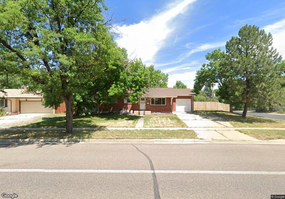
482 S Union Blvd Lakewood, CO 80228
Green Mountain NeighborhoodEstimated Value: $586,000 - $634,000
4
Beds
3
Baths
2,394
Sq Ft
$253/Sq Ft
Est. Value
About This Home
This home is located at 482 S Union Blvd, Lakewood, CO 80228 and is currently estimated at $606,014, approximately $253 per square foot. 482 S Union Blvd is a home located in Jefferson County with nearby schools including Dunstan Middle School and Green Mountain High School.
Ownership History
Date
Name
Owned For
Owner Type
Purchase Details
Closed on
Aug 30, 2019
Sold by
Herman Keith E and Herman Catherine A
Bought by
Martinez Theresa F
Current Estimated Value
Home Financials for this Owner
Home Financials are based on the most recent Mortgage that was taken out on this home.
Original Mortgage
$100,000
Outstanding Balance
$87,771
Interest Rate
3.7%
Mortgage Type
New Conventional
Estimated Equity
$518,243
Purchase Details
Closed on
Jan 27, 1998
Sold by
Herman Keith E and Herman Catherine A
Bought by
Herman Keith E and Herman Catherine A
Create a Home Valuation Report for This Property
The Home Valuation Report is an in-depth analysis detailing your home's value as well as a comparison with similar homes in the area
Home Values in the Area
Average Home Value in this Area
Purchase History
| Date | Buyer | Sale Price | Title Company |
|---|---|---|---|
| Martinez Theresa F | $405,000 | Land Title Guarantee Co | |
| Herman Keith E | -- | -- |
Source: Public Records
Mortgage History
| Date | Status | Borrower | Loan Amount |
|---|---|---|---|
| Open | Martinez Theresa F | $100,000 |
Source: Public Records
Tax History Compared to Growth
Tax History
| Year | Tax Paid | Tax Assessment Tax Assessment Total Assessment is a certain percentage of the fair market value that is determined by local assessors to be the total taxable value of land and additions on the property. | Land | Improvement |
|---|---|---|---|---|
| 2024 | $3,227 | $35,781 | $16,789 | $18,992 |
| 2023 | $3,227 | $35,781 | $16,789 | $18,992 |
| 2022 | $2,687 | $29,126 | $13,119 | $16,007 |
| 2021 | $2,725 | $29,964 | $13,497 | $16,467 |
| 2020 | $2,423 | $26,758 | $12,363 | $14,395 |
| 2019 | $2,392 | $26,758 | $12,363 | $14,395 |
| 2018 | $2,250 | $24,345 | $8,189 | $16,156 |
| 2017 | $1,977 | $24,345 | $8,189 | $16,156 |
| 2016 | $1,788 | $20,536 | $6,510 | $14,026 |
| 2015 | $1,605 | $20,536 | $6,510 | $14,026 |
| 2014 | $1,605 | $16,892 | $6,050 | $10,842 |
Source: Public Records
Map
Nearby Homes
- 12023 W Virginia Ave
- 12032 W Dakota Dr
- 12029 W Dakota Dr
- 12026 W Virginia Place
- 571 S Taft St
- 599 S Swadley St
- 11549 W Virginia Ave
- 12098 W Virginia Dr
- 300 S Simms St
- 367 S Queen Cir
- 398 S Queen Cir
- 470 S Queen St
- 12410 W Virginia Ave Unit 187
- 12425 W Alameda Dr Unit 193
- 12176 W Ohio Place
- 12471 W Alameda Dr Unit 202
- 12522 W Virginia Ave Unit 150
- 928 S Swadley St
- 11363 W Briarwood Dr
- 892 S Union Blvd
- 472 S Union Blvd
- 481 S Taft St
- 471 S Taft St
- 502 S Union Blvd
- 452 S Union Blvd
- 501 S Taft St
- 483 S Union Blvd
- 451 S Taft St
- 473 S Union Blvd
- 503 S Union Blvd
- 512 S Union Blvd
- 442 S Union Blvd
- 480 S Taft St
- 511 S Taft St
- 470 S Taft St
- 453 S Union Blvd
- 441 S Taft St
- 513 S Union Blvd
- 500 S Taft St
- 522 S Union Blvd