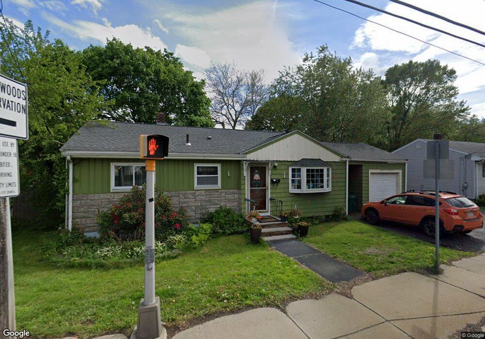
482 Walnut St Lynn, MA 01905
Upper Walnut Street NeighborhoodEstimated Value: $521,000 - $580,000
2
Beds
1
Bath
930
Sq Ft
$594/Sq Ft
Est. Value
About This Home
This home is located at 482 Walnut St, Lynn, MA 01905 and is currently estimated at $552,875, approximately $594 per square foot. 482 Walnut St is a home located in Essex County with nearby schools including Julia F. Callahan Elementary School, William R. Fallon School, and Breed Middle School.
Ownership History
Date
Name
Owned For
Owner Type
Purchase Details
Closed on
Jul 15, 2005
Sold by
Dimis Pamela M
Bought by
Duran Stanley
Current Estimated Value
Purchase Details
Closed on
Feb 25, 2005
Sold by
Polito Eva M
Bought by
Dimis Pamela M
Create a Home Valuation Report for This Property
The Home Valuation Report is an in-depth analysis detailing your home's value as well as a comparison with similar homes in the area
Home Values in the Area
Average Home Value in this Area
Purchase History
| Date | Buyer | Sale Price | Title Company |
|---|---|---|---|
| Duran Stanley | $289,000 | -- | |
| Duran Stanley | $289,000 | -- | |
| Dimis Pamela M | $200,000 | -- | |
| Dimis Pamela M | $200,000 | -- |
Source: Public Records
Mortgage History
| Date | Status | Borrower | Loan Amount |
|---|---|---|---|
| Open | Dimis Pamela M | $267,700 | |
| Closed | Dimis Pamela M | $272,000 | |
| Closed | Dimis Pamela M | $25,000 |
Source: Public Records
Tax History
| Year | Tax Paid | Tax Assessment Tax Assessment Total Assessment is a certain percentage of the fair market value that is determined by local assessors to be the total taxable value of land and additions on the property. | Land | Improvement |
|---|---|---|---|---|
| 2025 | $5,512 | $532,000 | $217,600 | $314,400 |
| 2024 | $5,281 | $501,500 | $216,200 | $285,300 |
| 2023 | $5,157 | $462,500 | $209,100 | $253,400 |
| 2022 | $4,906 | $394,700 | $179,600 | $215,100 |
| 2021 | $4,742 | $363,900 | $167,300 | $196,600 |
| 2020 | $4,544 | $339,100 | $148,700 | $190,400 |
| 2019 | $4,699 | $328,600 | $153,000 | $175,600 |
| 2018 | $4,386 | $289,500 | $136,200 | $153,300 |
| 2017 | $4,095 | $262,500 | $118,100 | $144,400 |
| 2016 | $3,938 | $243,400 | $111,800 | $131,600 |
| 2015 | $3,799 | $226,800 | $110,400 | $116,400 |
Source: Public Records
Map
Nearby Homes
- 32 Birch Brook Rd Unit 13
- 32 Birch Brook Rd Unit 27
- 32 Birch Brook Rd Unit 16
- 32 Birch Brook Rd Unit 1
- 32 Birch Brook Rd Unit 15
- 32 Birch Brook Rd Unit 14
- 32 Birch Brook Rd Unit 28
- 32 Birch Brook Landing Unit 25
- 32 Birch Brook Landing Unit 22
- 268 Walnut St
- 4 Oneil Way
- 46 Wilfred St
- 21 Fenton Ave
- 28 Wyman St
- 187 Hamilton St
- 50-50A Kirtland St
- 52 Hesper St
- 73 Waterhill St
- 79 Laurel St
- 67 Saville St
- 488 Walnut St
- 11 Ocallaghan Way
- 11 Walnut Park
- 15 Ocallaghan Way
- 494 Walnut St
- 6 Ocallaghan Way
- 2 Pennybrook Rd
- 12 O'Callaghan Way
- 12 Ocallaghan Way
- 15 Walnut Park
- 487 Walnut St Unit 489
- 487-489 Walnut St
- 1 Pennybrook Rd
- 500 Walnut St
- 491 Walnut St
- 16 Ocallaghan Way
- 477 Walnut St
- 21 Walnut Park
- 7 Pennybrook Rd
- 495 Walnut St
Your Personal Tour Guide
Ask me questions while you tour the home.