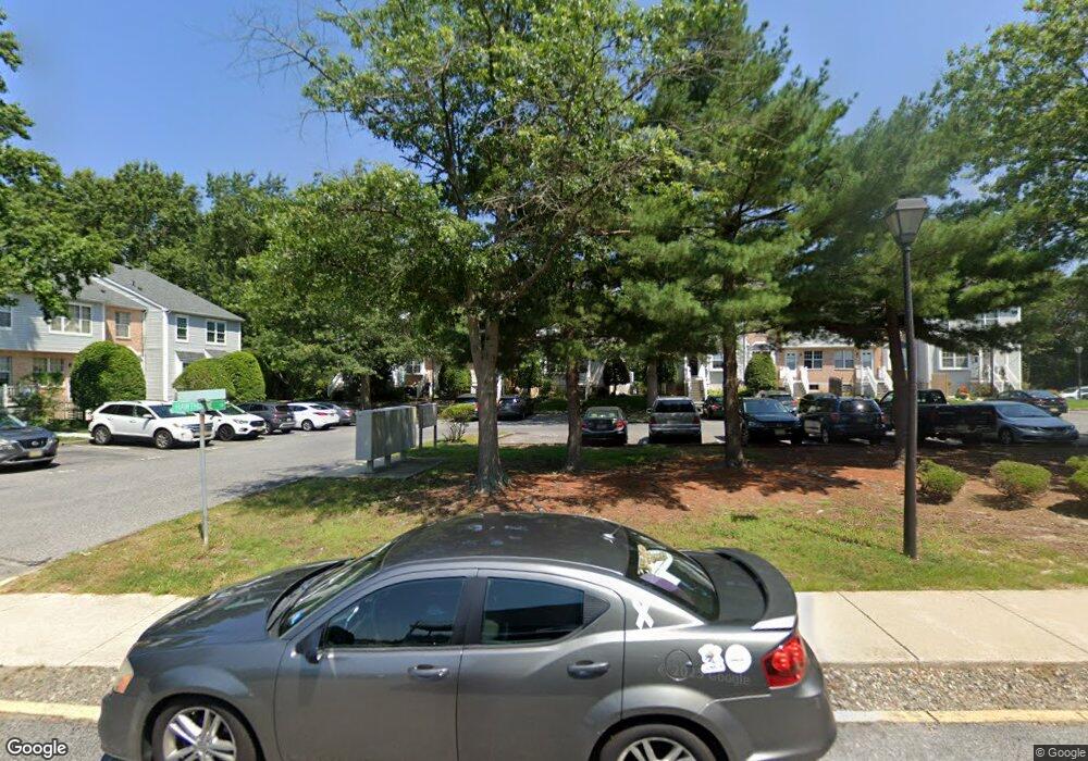
4820 Hawthorne Ln Mays Landing, NJ 08330
Estimated Value: $202,168 - $221,000
2
Beds
1
Bath
1,036
Sq Ft
$203/Sq Ft
Est. Value
About This Home
This home is located at 4820 Hawthorne Ln, Mays Landing, NJ 08330 and is currently estimated at $210,292, approximately $202 per square foot. 4820 Hawthorne Ln is a home located in Atlantic County with nearby schools including George L. Hess Educational Complex, Joseph Shaner School, and William Davies Middle School.
Ownership History
Date
Name
Owned For
Owner Type
Purchase Details
Closed on
Nov 30, 2000
Sold by
Brenner Samuel and Coyle Thomas
Bought by
May Desiree A
Current Estimated Value
Home Financials for this Owner
Home Financials are based on the most recent Mortgage that was taken out on this home.
Original Mortgage
$63,050
Outstanding Balance
$23,134
Interest Rate
7.64%
Mortgage Type
FHA
Estimated Equity
$187,158
Create a Home Valuation Report for This Property
The Home Valuation Report is an in-depth analysis detailing your home's value as well as a comparison with similar homes in the area
Home Values in the Area
Average Home Value in this Area
Purchase History
| Date | Buyer | Sale Price | Title Company |
|---|---|---|---|
| May Desiree A | $65,000 | -- |
Source: Public Records
Mortgage History
| Date | Status | Borrower | Loan Amount |
|---|---|---|---|
| Open | May Desiree A | $63,050 |
Source: Public Records
Tax History Compared to Growth
Tax History
| Year | Tax Paid | Tax Assessment Tax Assessment Total Assessment is a certain percentage of the fair market value that is determined by local assessors to be the total taxable value of land and additions on the property. | Land | Improvement |
|---|---|---|---|---|
| 2025 | $3,095 | $90,200 | $20,000 | $70,200 |
| 2024 | $3,095 | $90,200 | $20,000 | $70,200 |
| 2023 | $2,910 | $90,200 | $20,000 | $70,200 |
| 2022 | $2,910 | $90,200 | $20,000 | $70,200 |
| 2021 | $2,904 | $90,200 | $20,000 | $70,200 |
| 2020 | $2,904 | $90,200 | $20,000 | $70,200 |
| 2019 | $2,911 | $90,200 | $20,000 | $70,200 |
| 2018 | $2,809 | $90,200 | $20,000 | $70,200 |
| 2017 | $2,942 | $96,000 | $25,000 | $71,000 |
| 2016 | $2,860 | $96,000 | $25,000 | $71,000 |
| 2015 | $2,763 | $96,000 | $25,000 | $71,000 |
| 2014 | $3,268 | $124,400 | $45,000 | $79,400 |
Source: Public Records
Map
Nearby Homes
- 4772 Summersweet Dr
- 4830 Green Ash Ln Unit 287
- 4915 Winterbury Dr Unit B14
- 4944 Rosebay Place
- 4934 Winterbury Dr Unit I86
- 4922 Denbigh Ct
- 4869 Bala Ct
- 4930 Denbigh Ct
- 4873 Bala Ct
- 4944 Flintshire Ct
- 1544 Ben Franklin Ct
- 1574 John Adams Ct Unit 1574
- 1535 Benjamin Franklin Ct
- 1544 Benjamin Franklin Ct
- 1553 Madison Ct Unit 153
- 1531 Hamilton Ct Unit 231
- 1531 Hamilton Ct
- 1553 John Adams Ct Unit 653
- 4505 Concord Place Unit K86
- 5022 Laydon Ct
- 4822 Hawthorne Ln Unit AA214
- 4818 Hawthorne Ln
- 4817 Hawthorne Ln Unit AA211
- 4816 Hawthorne Ln Unit AA209
- 4815 Hawthorne Ln
- 4814 Hawthorne Ln
- 4830 Hawthorne Ln Unit BB217
- 4811 Hawthorne Ln Unit AA205
- 4812 Hawthorne Ln Unit AA207
- 4813 Hawthorne Ln
- 4832 Hawthorne Ln Unit BB218
- 4833 Hawthorne Ln Unit BB216
- 4831 Hawthorne Ln Unit BB215
- 4834 Hawthorne Ln
- 4836 Hawthorne Ln Unit BB222
- 4837 Hawthorne Ln Unit BB221
- 4838 Bayberry Place
- 4835 Hawthorne Ln Unit BB220
- 4840 Bayberry Place Unit BB224
- 4850 Green Ash Ln Unit 279