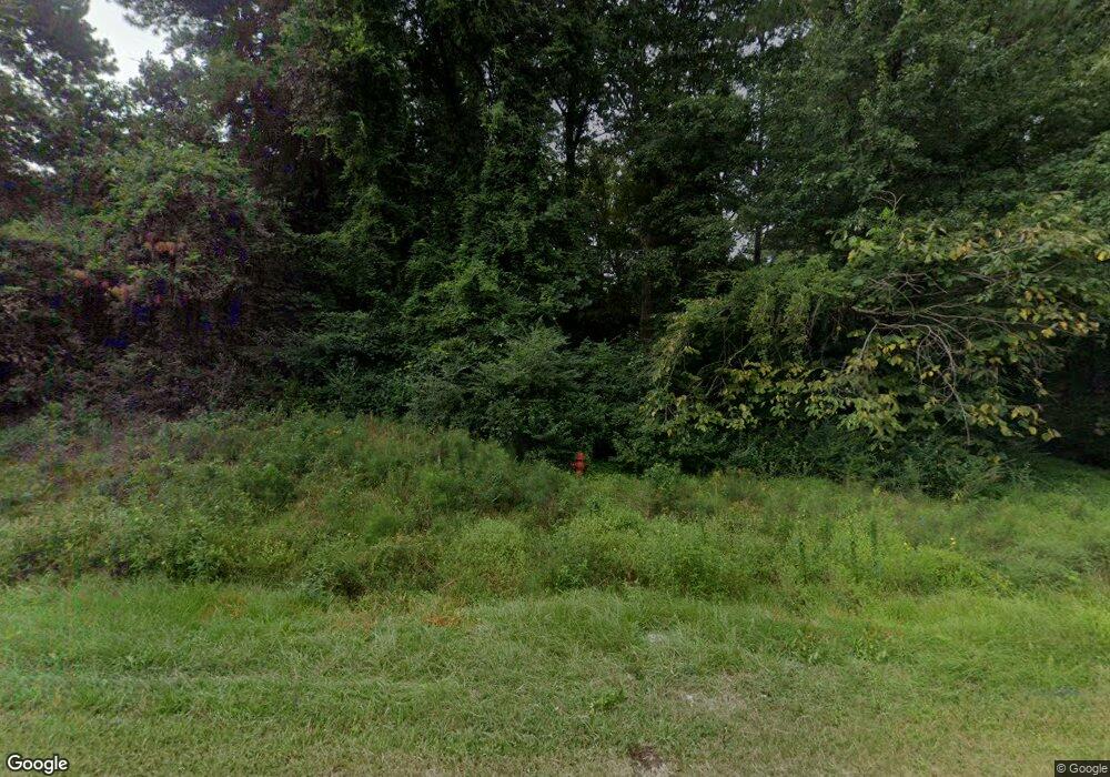
4820 Wake Forest Rd Durham, NC 27703
Eastern Durham NeighborhoodEstimated Value: $348,000 - $566,244
4
Beds
1
Bath
1,368
Sq Ft
$315/Sq Ft
Est. Value
About This Home
This home is located at 4820 Wake Forest Rd, Durham, NC 27703 and is currently estimated at $431,311, approximately $315 per square foot. 4820 Wake Forest Rd is a home located in Durham County with nearby schools including Oak Grove Elementary, John W Neal Middle School, and Southern School of Energy & Sustainability.
Ownership History
Date
Name
Owned For
Owner Type
Purchase Details
Closed on
Jul 8, 2025
Sold by
Sherron Road Wakeforest Land Llc
Bought by
Hp-245002 Sherron Rd Llc
Current Estimated Value
Purchase Details
Closed on
Oct 6, 2022
Sold by
Mitchell Thomas P and Mitchell Cynthia L
Bought by
Sherron Road Wakeforest Land Llc
Create a Home Valuation Report for This Property
The Home Valuation Report is an in-depth analysis detailing your home's value as well as a comparison with similar homes in the area
Home Values in the Area
Average Home Value in this Area
Purchase History
| Date | Buyer | Sale Price | Title Company |
|---|---|---|---|
| Hp-245002 Sherron Rd Llc | -- | Stewart Title | |
| Hp-245002 Sherron Rd Llc | -- | Stewart Title | |
| Hp-245002 Sherron Rd Llc | $5,200,000 | Stewart Title | |
| Hp-245002 Sherron Rd Llc | $5,200,000 | Stewart Title | |
| Sherron Road Wakeforest Land Llc | $490,000 | -- | |
| Sherron Road Wakeforest Land Llc | $490,000 | None Listed On Document |
Source: Public Records
Tax History Compared to Growth
Tax History
| Year | Tax Paid | Tax Assessment Tax Assessment Total Assessment is a certain percentage of the fair market value that is determined by local assessors to be the total taxable value of land and additions on the property. | Land | Improvement |
|---|---|---|---|---|
| 2025 | $5,085 | $512,986 | $378,755 | $134,231 |
| 2024 | $2,391 | $156,408 | $71,575 | $84,833 |
| 2023 | $1,605 | $156,408 | $71,575 | $84,833 |
| 2022 | $1,561 | $156,408 | $71,575 | $84,833 |
| 2021 | $1,372 | $156,408 | $71,575 | $84,833 |
| 2020 | $1,341 | $156,408 | $71,575 | $84,833 |
| 2019 | $1,325 | $156,408 | $71,575 | $84,833 |
| 2018 | $1,208 | $130,837 | $56,455 | $74,382 |
| 2017 | $1,168 | $130,837 | $56,455 | $74,382 |
| 2016 | $1,132 | $130,837 | $56,455 | $74,382 |
| 2015 | $1,101 | $104,189 | $47,551 | $56,638 |
| 2014 | $1,106 | $104,189 | $47,551 | $56,638 |
Source: Public Records
Map
Nearby Homes
- 5002 Wake Forest Hwy
- 2800-2809 Napoli Dr
- 1056 Arbor Edge Ln
- 1 Thorn Brook Ct
- 1125 Arbor Edge Ln
- 208 Lick Creek Ln
- 107 Crosswood Dr
- 103 Bermuda Green Dr
- 528 Plumleaf Ln
- 1013 Blackthorn Ln
- 714 Weathervane Dr
- The Poplar Plan at Sherron Road Townes
- 13 Blackthorn Ln
- 17 Plumleaf Ln
- 304 Wellwater Ave
- 621 Wellwater Ave
- 639 Conover Rd Unit A
- 639 Conover Rd Unit B
- 635 Conover Rd Unit A
- 635 Conover Rd Unit B
- 4904 Wake Forest Rd
- 4814 Wake Forest Rd
- 2809 Napoli Dr
- 4906 Wake Forest Rd
- 4810 Wake Forest Hwy
- 4906 Wake Forest Hwy
- 4906 Wake Forest Rd
- 4810 Wake Forest Rd
- 2805 Napoli Dr
- 4914 Wake Forest Rd
- 4905 Wake Forest Rd
- 4905 Wake Forest Rd Unit 4909, 4911, & 4915
- 4808 Wake Forest Rd
- 2808 Napoli Dr
- 4807 Wake Forest Rd
- 4914 Wake Forest Hwy
- 2803 Napoli Dr
- 4807 Wake Forest Hwy
- 2804 Napoli Dr
- 2801 Napoli Dr
