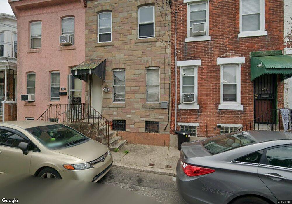
4821 Darrah St Philadelphia, PA 19124
Frankford NeighborhoodEstimated Value: $81,000 - $166,000
3
Beds
1
Bath
882
Sq Ft
$136/Sq Ft
Est. Value
About This Home
This home is located at 4821 Darrah St, Philadelphia, PA 19124 and is currently estimated at $120,209, approximately $136 per square foot. 4821 Darrah St is a home located in Philadelphia County with nearby schools including Harding Warren G Middle School, Frankford High School, and Mastery Schools Smedley Elementary.
Ownership History
Date
Name
Owned For
Owner Type
Purchase Details
Closed on
Apr 3, 1995
Sold by
Financial Salvage
Bought by
Lazette Towns
Current Estimated Value
Purchase Details
Closed on
Mar 21, 1995
Sold by
Commonwealth Fsb
Bought by
Financial Salvage
Purchase Details
Closed on
Jan 23, 1995
Sold by
Green John D
Bought by
Commonwealth Svgs Bank and Commonwealth Fsb
Create a Home Valuation Report for This Property
The Home Valuation Report is an in-depth analysis detailing your home's value as well as a comparison with similar homes in the area
Home Values in the Area
Average Home Value in this Area
Purchase History
| Date | Buyer | Sale Price | Title Company |
|---|---|---|---|
| Lazette Towns | $29,900 | -- | |
| Financial Salvage | $10,000 | -- | |
| Commonwealth Svgs Bank | $2,800 | -- |
Source: Public Records
Tax History Compared to Growth
Tax History
| Year | Tax Paid | Tax Assessment Tax Assessment Total Assessment is a certain percentage of the fair market value that is determined by local assessors to be the total taxable value of land and additions on the property. | Land | Improvement |
|---|---|---|---|---|
| 2026 | $964 | $89,100 | $17,800 | $71,300 |
| 2025 | $964 | $89,100 | $17,800 | $71,300 |
| 2024 | $964 | $89,100 | $17,800 | $71,300 |
| 2023 | $964 | $68,900 | $13,780 | $55,120 |
| 2022 | $358 | $25,600 | $13,780 | $11,820 |
| 2021 | $606 | $0 | $0 | $0 |
| 2020 | $606 | $0 | $0 | $0 |
| 2019 | $582 | $0 | $0 | $0 |
| 2018 | $386 | $0 | $0 | $0 |
| 2017 | $806 | $0 | $0 | $0 |
| 2016 | $386 | $0 | $0 | $0 |
| 2015 | $370 | $0 | $0 | $0 |
| 2014 | -- | $57,600 | $13,565 | $44,035 |
| 2012 | -- | $3,968 | $598 | $3,370 |
Source: Public Records
Map
Nearby Homes
- 1636 Fillmore St
- 1629 Foulkrod St
- 1615 Fillmore St
- 1688 Fillmore St
- 4735 Frankford Ave
- 4839 Griscom St
- 4843 Duffield St
- 1636 Margaret St
- 1519 Foulkrod St
- 4814 Griscom St
- 1626 Margaret St
- 1515 Foulkrod St
- 1724 Harrison St
- 4714 Hawthorne St
- 4734 44 Oxford Ave
- 4712 Griscom St
- 4666 Duffield St
- 4943 Duffield St
- 4925 Penn St
- 1516 Arrott St
- 4823 Darrah St
- 4825 Darrah St
- 4819 Darrah St
- 4827 Darrah St
- 4817 Darrah St
- 4829 Darrah St
- 4815 Darrah St
- 4813 Darrah St
- 4831 Darrah St Unit 33
- 4811 Darrah St
- 1660 Fillmore St
- 4809 Darrah St
- 4835 Darrah St
- 1664 Fillmore St
- 4822 Darrah St
- 4820 Darrah St
- 1646 Fillmore St
- 4824 Darrah St Unit 26
- 4818 Darrah St
- 1666 Fillmore St